Download
Preview
Add to list
More
26.9 km
~2 days
344 m
Multi-Day
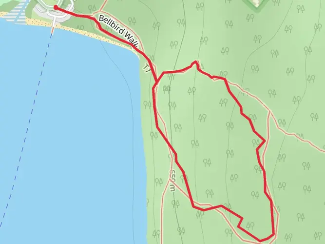
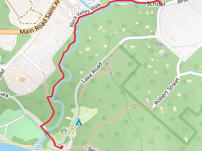
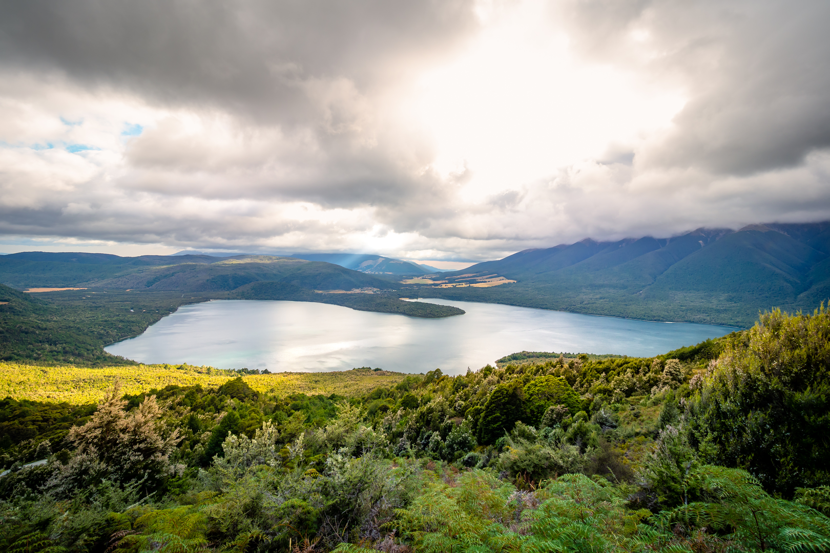
The Lake Rotoiti Circuit is a 26.9 km trail that starts in Nelson Lakes National Park, Tasman, New Zealand. Based on our data, the hike is graded as Medium. For information on how we grade trails, please read measuring the difficulty of a hiking trail on hiiker. Also, check our latest community posts for trail updates. This hike can be completed in approx 5 hrs 57 mins. Caution is advised on trail times as this depends on multiple variables. For more info read about how we calculate hike time.

What to expect?
Activity types
Frequently asked questions
How long does the Lake Rotoiti Circuit take to hike from St Arnaud?
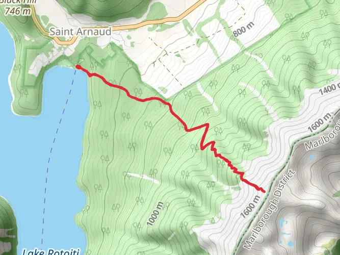
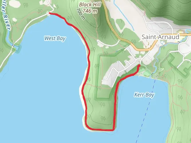
The Lake Rotoiti Circuit is 26.88 km and is commonly done over 2 days, although strong walkers can complete it as a long day hike. A typical split is about 3 hours from Kerr Bay in St Arnaud to Lakehead Hut on the eastern shore, then about 3 hours 30 minutes back via Coldwater Hut, the Lakeside Track, and Mount Robert Road.
Where does the Lake Rotoiti Circuit start in St Arnaud?
The Lake Rotoiti Circuit starts at Kerr Bay on the edge of Lake Rotoiti in St Arnaud, within Nelson Lakes National Park. From there, the route follows the Lakehead Track along the eastern shore to the head of the lake, then returns on the western side via Coldwater Hut, the Lakeside Track, and Mount Robert Road.
Can the Lake Rotoiti Circuit be shortened with a water taxi?
Yes. Water taxis operate on Lake Rotoiti and can be used to walk only half of the Lake Rotoiti Circuit. The usual option is to take a boat from St Arnaud to either Lakehead Hut or Coldwater Hut, then walk back to Kerr Bay, which turns the full 26.88 km circuit into a shorter one-way outing.
Can you camp on the Lake Rotoiti Circuit?
Camping is possible on the Lake Rotoiti Circuit, with space available outside both Lakehead Hut and Coldwater Hut. In Nelson Lakes National Park, camping is allowed within 200 meters of huts year-round, but camping is not permitted within 200 meters of a formed road or within 200 meters of Lake Rotoiti itself, so lakeshore camping near the road end is restricted.
Are there huts on the Lake Rotoiti Circuit for an overnight stay?
Yes. The two main overnight options on the Lake Rotoiti Circuit are Lakehead Hut at the head of Lake Rotoiti and Coldwater Hut on the western shore. Lakehead Hut sits at about 630 m in the Travers River valley, and both huts are standard backcountry huts that make the circuit a straightforward 2-day trip.
Is the Lake Rotoiti Circuit a difficult hike?
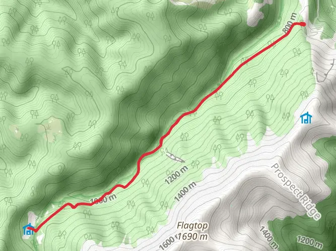
The Lake Rotoiti Circuit is generally considered medium difficulty. The full route covers 26.88 km with about 344 m of elevation gain, so it is not especially steep, but the distance makes it better suited to hikers comfortable with a full-day walk or an easy overnight tramp.
Comments and Reviews
User comments, reviews and discussions about the Lake Rotoiti Circuit, New Zealand.
5.0
average rating out of 5
1 rating(s)