Download
3D Flyover
Add to list
More
41.4 km
~2 days
1755 m
Multi-Day
“Embark on the Linville Gorge Loop, a demanding hike through stunning, historic wilderness for seasoned adventurers.”
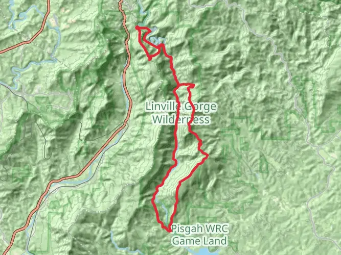
The Linville Gorge Loop, a challenging and rewarding trek, spans approximately 41 kilometers (25.5 miles) with an elevation gain of around 1700 meters (5577 feet). This loop trail, nestled in the rugged terrain of Burke County, North Carolina, is a true test of endurance and skill, often recommended for experienced hikers due to its difficult rating.
Getting to the Trailhead To reach the trailhead, which is situated near the Linville Gorge Wilderness Area, hikers can drive to the area via NC-181 if coming from the north or south. From NC-181, turn onto Gingercake Road (also known as Forest Service Road 1264), and follow it until you reach the trailhead parking area. Public transportation options are limited in this remote area, so arriving by car is the most feasible option.
Navigating the Trail As you embark on the Linville Gorge Loop, you'll be enveloped by a dense canopy of hardwood forest. The trail is marked, but due to the remote nature of the area, it's advisable to use a reliable navigation tool like HiiKER to stay on track. The loop can be hiked in either direction, but many choose to go counterclockwise to tackle the steeper sections first.
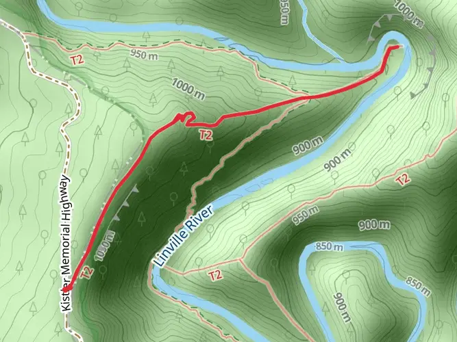
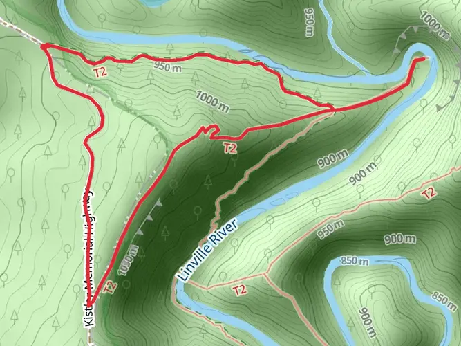
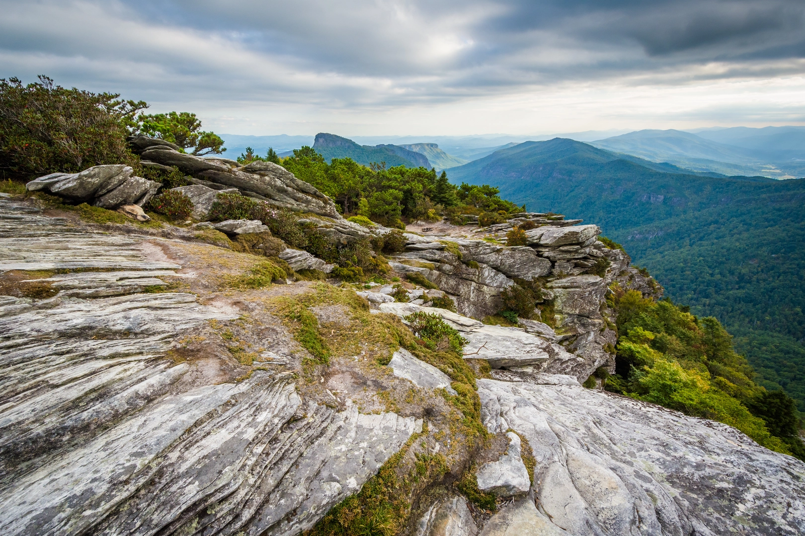
Significant Landmarks and Natural Features Early in the hike, you'll encounter the Linville River, which carves its way through the gorge, creating a stunning backdrop for your journey. The river is a central feature of the wilderness and provides a habitat for a variety of wildlife. As you ascend, you'll be treated to breathtaking views of the gorge from vantage points like Hawksbill Mountain and Table Rock, both of which offer panoramic views that are especially dramatic at sunrise or sunset.
Flora and Fauna The Linville Gorge Wilderness is home to a rich biodiversity, including a variety of hardwood species, rhododendron thickets, and rare plants like the mountain golden heather. Wildlife sightings may include black bears, deer, and a plethora of bird species, such as the peregrine falcon.
Historical Significance The region holds historical significance as well, with the gorge itself being named after explorer William Linville and his son, who were killed by Native Americans in 1766. The wilderness area is one of the first designated in the United States and has been protected since the passage of the Wilderness Act in 1964.
Preparation and Safety Given the trail's difficulty, it's crucial to be well-prepared with adequate supplies, including water, food, and emergency gear. Weather conditions can change rapidly, and the terrain can be treacherous, with loose rocks and steep drop-offs. Ensure you have a good map or navigation app, and always let someone know your itinerary before setting out.
Seasonal Considerations The best times to hike the Linville Gorge Loop are spring and fall when temperatures are moderate, and the foliage is either blooming or showcasing its autumn colors. Summers can be hot and humid, while winters may bring snow and ice, making the trail even more challenging.
By respecting the wilderness and preparing adequately for the journey, hikers can immerse themselves in the natural beauty and rugged landscape of the Linville Gorge Loop, creating memories that will last a lifetime.

What to expect?
Activity types
Frequently asked questions
How long does the Linville Gorge Loop take to hike in Burke County, North Carolina?
The Linville Gorge Loop is about 41.45 km, or 25.5 miles, with roughly 1,755 meters of climbing, so it is usually treated as a strenuous multi-day backpacking route rather than a casual day hike. Strong, experienced hikers sometimes move faster, but the steep grades, primitive tread, and river crossings make it a demanding outing.
Is the Linville Gorge Loop difficult, and who is the Linville Gorge Loop best suited for?
The Linville Gorge Loop is rated Extra Difficult and crosses some of the most rugged terrain in the Linville Gorge Wilderness. The route combines long mileage, about 1,755 meters of elevation gain, steep descents to the Linville River, and unblazed wilderness travel in places, so it is best suited to experienced hikers with solid navigation skills.
Do you need a permit to backpack the Linville Gorge Loop overnight?
An overnight permit is required for camping in the Linville Gorge Wilderness on weekends and holidays from May through October. The Forest Service also limits stays to 3 days and 2 nights on permit nights and limits group size to 10 people, so overnight trips on the loop need to be planned around those rules.
Where do you park for the Linville Gorge Loop, and how do you reach the trailhead?
Many hikers start the Linville Gorge Loop from the Table Rock area off Gingercake Road and Forest Service Road 1264 near Linville Gorge Wilderness. The approach from NC-181 includes a long stretch of narrow, rough unpaved road, and the Table Rock area is one of the main access points used for loop variations on the east rim.
Are there river crossings on the Linville Gorge Loop?
Yes. The loop commonly involves crossing the Linville River, and that can be one of the most serious parts of the trip. The Forest Service notes that the Spence Ridge Trail bridge at the river is washed out, so hikers using that section must make a wet crossing, which can become hazardous when water is high.
Are the trails on the Linville Gorge Loop well marked?
Trailheads in the Linville Gorge Wilderness are signed, but once inside the wilderness the trails are generally not blazed or signed. That matters on a 41.45 km loop with multiple junctions, steep side trails, and river access points, so careful navigation is part of the challenge.
Are there any closures or storm damage issues on the Linville Gorge Loop?
Yes. The Forest Service has reported storm-related closures affecting parts of the Linville Gorge Trail, including sections from Daffodil Flats to Pitch-In, Spence Ridge to Conley Cove, and Cabin to Bynum Bluff. Because many Linville Gorge Loop itineraries rely on those connectors, current trail status should be checked before setting out.
Comments and Reviews
User comments, reviews and discussions about the Linville Gorge Loop, North Carolina.
4.6
average rating out of 5
10 rating(s)