Download
3D Flyover
Add to list
More
31.3 km
~6 hrs 32 min
160 m
Multi-Day
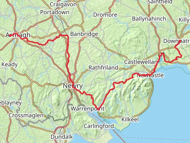
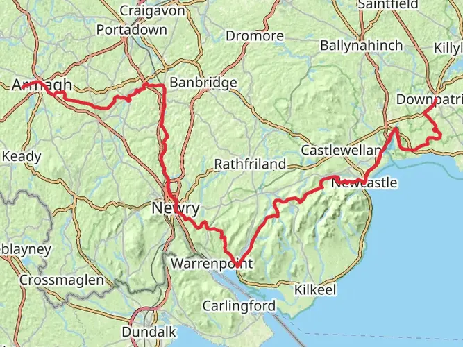
The Newry Canal Way is a 31.3 km trail that starts in , County Armagh, Northern Ireland. Based on our data, the hike is graded as Easy. For information on how we grade trails, please read measuring the difficulty of a hiking trail on hiiker. Also, check our latest community posts for trail updates. This hike can be completed in approx 6 hrs 32 mins. Caution is advised on trail times as this depends on multiple variables. For more info read about how we calculate hike time.

What to expect?
Frequently asked questions
How long does it take to walk the Newry Canal Way from Portadown to Newry?
The Newry Canal Way is 31.34 km long with only 160 m of elevation gain, so it is generally a straightforward full-day walk for strong walkers or an easy two-day outing at a gentler pace. Because it is a linear route between Portadown and Newry, timing also depends on transport plans at the finish.
Is the Newry Canal Way an easy walk or is the Newry Canal Way suitable for beginners?
The Newry Canal Way is rated easy and follows the old canal towpath, so gradients are minimal across the route. Discover Northern Ireland describes it as a flat, level shared-use path, which makes it one of the more approachable long-distance walks in County Armagh for beginners building up to 30 km-plus days.
Where does the Newry Canal Way start and finish?
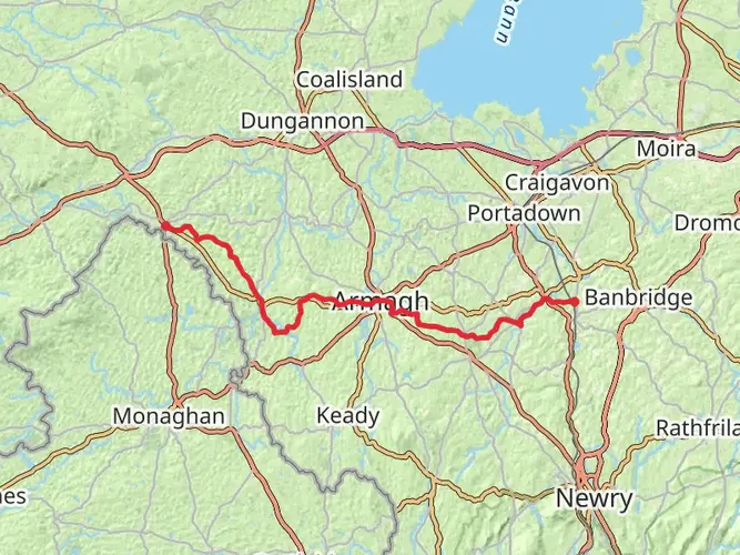
The Newry Canal Way runs between Portadown and Newry along the restored towpath of the former Newry Canal. The canal corridor links the Portadown area near the Point of Whitecoat with Newry, and the route follows the old Newry Portadown Canal line for roughly 20 miles, or 31.34 km.
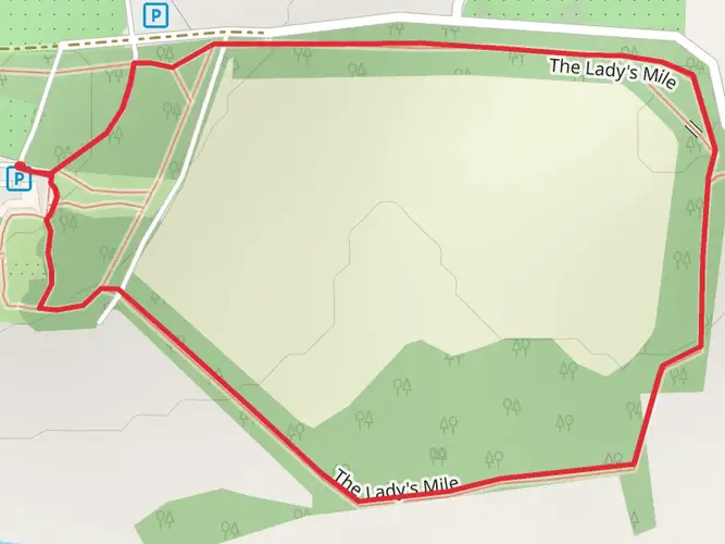
Where can you park for the Newry Canal Way in Portadown or near the route?
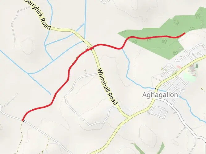
A practical parking option near the Portadown end is the car park behind The Meadows Shopping Centre delivery area off Meadow Lane, beside Portadown Boat Club. That access point connects with the marked Newry Canal Way and the Bann Boulevard section, which follows a flat tarmac path toward Point of Whitecoat and Knock Bridge.
What is the terrain like on the Newry Canal Way and is the Newry Canal Way good for a flat walk?
The Newry Canal Way is known for flat canal-side terrain rather than steep climbing, with only 160 m of total ascent over 31.34 km. Sections near Portadown are described as wide tarmac, and the wider route follows the old towpath, so it suits walkers looking for a long but low-gradient outing.
Can you cycle or walk the Newry Canal Way and do walkers share the path with bikes?
Yes. The Newry Canal Way is a shared-use greenway-style route used by both walkers and cyclists, and it forms part of National Cycle Network Route 9. The towpath is generally broad and level, but mixed use means walkers should expect bikes on the path, especially on easier-access sections near towns.
Comments and Reviews
User comments, reviews and discussions about the Newry Canal Way, Northern Ireland.
5.0
average rating out of 5
1 rating(s)