Download
3D Flyover
Add to list
More
25.3 km
~5 hrs 59 min
553 m
Point-to-Point
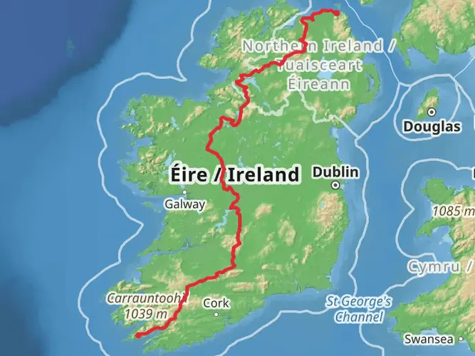
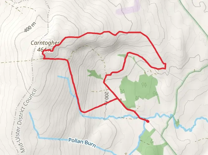
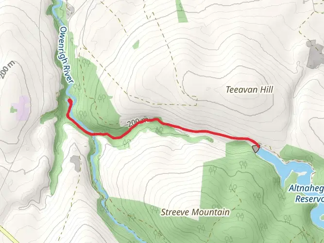
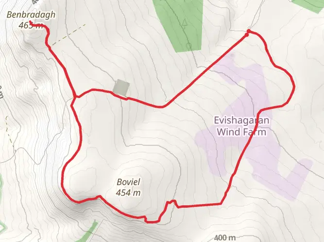
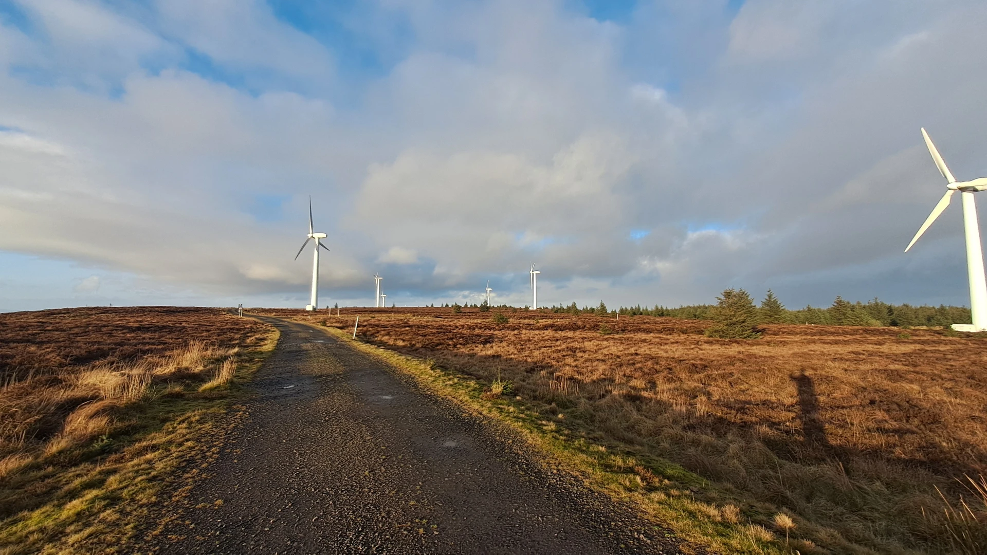
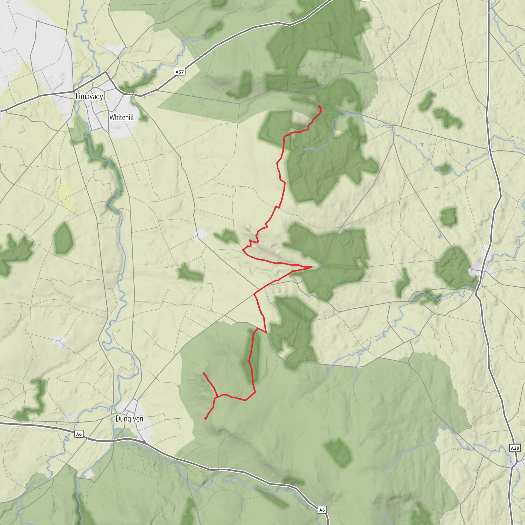
Climbing the best 2 Hills on the North Sperrins Way. - No Dogs- animals grazing on route. Linear route so 2x cars needed. HIIKER DESCRIPTION : An easy coastal hike in the Causeway Coast and Glens, covering about 14.2 miles with roughly 1,850 feet of ascent and 2,210 feet of descent. Starting near the inland hills west of Ballymoney and finishing closer to the north coast, the route gently undulates through open countryside and rolling farmland, with distant sea views and scattered small villages, making it a long but manageable day walk for most reasonably fit hikers.
What to expect?
Surfaces
Asphalt
Unknown
Comments and Reviews
User comments, reviews and discussions about the Benbradagh and Donald's Hill via North Sperrins Way, Northern Ireland.
average rating out of 5
0 rating(s)