Download
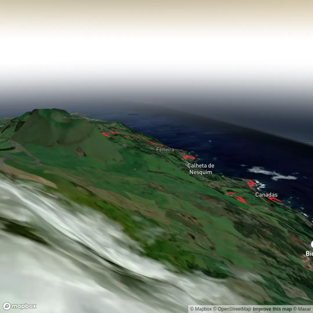
3D Flyover
Add to list
More
9.1 km
~2 hrs 31 min
424 m
Loop
“A richly varied coastal loop weaving lava shores, wooded climbs, vineyard slopes, and echoes of Pico’s whaling past.”
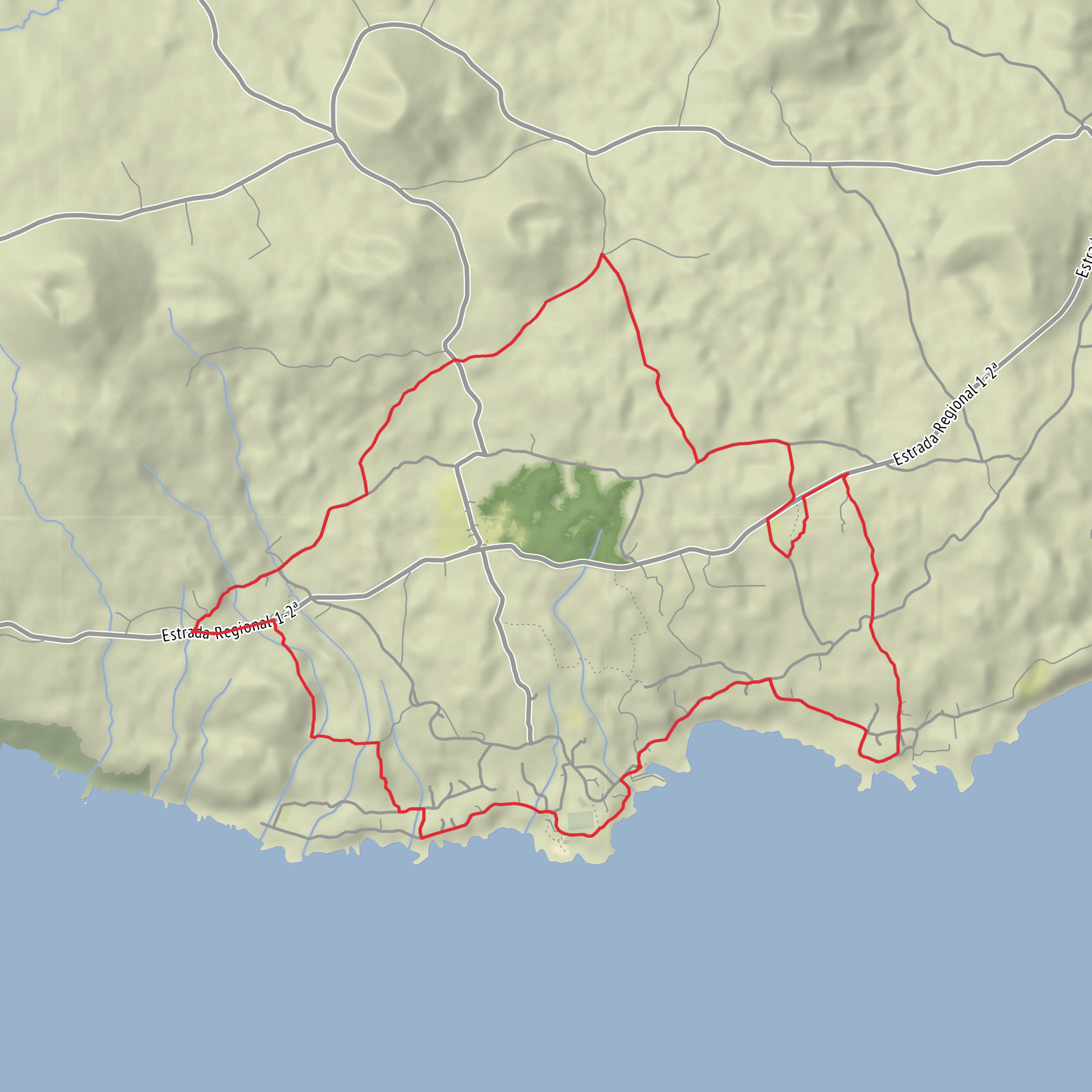
This medium-difficulty loop on Pico’s south coast packs a lot into roughly 9.1 km / 5.7 miles, with about 400 m / 1,310 ft of cumulative ascent. It starts and finishes at the harbour area in Calheta de Nesquim, in front of the Church of São Sebastião, the clearest landmark for the trailhead and the practical place to aim for by car or local transport. The official Azores trail listing describes it as a circular route, best walked counterclockwise, beginning at the port opposite the church. (trails.visitazores.com)
The opening section is one of the most atmospheric parts of the walk. From the harbour, the route tracks the coast toward Feiteira, passing through a landscape shaped by lava, sea exposure, and small-scale farming. Expect a mix of paved village lanes, old local access tracks, and short rural connectors rather than a single uninterrupted footpath. The terrain is varied and rolling from the start, so even though the total distance is modest, it does not feel flat or effortless. On paved stretches, extra care is needed because the official trail guidance specifically notes walking cautiously along the roadside. (trails.visitazores.com)
One of the first standout landmarks is the Porto da Feiteira, a small harbour and leisure area with access to natural swimming pools. This is a good early reference point at roughly 2 to 3 km / 1.2 to 1.9 miles into the loop, depending on exactly where you begin in the harbour area. The coast here is rugged and distinctly Azorean: black volcanic rock, low stone walls, open Atlantic views, and pockets of cultivated land tucked into sheltered ground. (trails.visitazores.com)
Climbing through Fetais
After Feiteira, the route turns inland and begins its main ascent. This is the section that gives the hike its medium rating. The climb rises through mixed vegetation and into the Mata dos Fetais, where the trail leaves the immediate coast behind and gains height more steadily. The official route description highlights this as the ascending phase, and local descriptions add that the climb links together old lanes and rural tracks through the settlements and upland edges above the parish. (trails.visitazores.com)
As you gain elevation, the views broaden over Calheta de Nesquim, the surrounding hamlets, and the south coast. Higher up, the route offers sightlines toward Pedra Aguda and Cabeço do Silvado, identified in the official trail notes as small basaltic scoria cones formed in a single eruptive phase. That volcanic context matters here: this is not just a scenic farming walk, but a route through a landscape built by relatively young volcanic processes and then adapted over centuries for pasture, vines, and coastal settlement. (trails.visitazores.com)
This middle part of the hike is where hikers should be ready for the most sustained effort. The climb is not alpine, but it can feel warm, exposed, and steeper than expected in places, especially if the road and track surfaces are dry and hard underfoot or slick after rain. Good footwear is worthwhile, and route-finding is easier if you load the trail in HiiKER before setting out.
Views, whaling heritage, and the descent
Near the upper part of the loop, the route transitions into its descending phase around Cascalheira. The official description notes that the descent begins on asphalt and then continues on a footpath through woodland dominated in part by incense tree (Pittosporum undulatum), before opening into cultivated ground, pasture, and traditional small vineyard plots. That change in scenery is one of the strengths of this walk: coast, woodland, pasture, and vine country all appear in a relatively short outing. (trails.visitazores.com)
About halfway down, you pass a whale lookout. This is one of the most historically important points on the route. Calheta de Nesquim has deep ties to Pico’s whaling past, and the parish is described by local and regional sources as a place with strong whaling heritage; the village museum in the old whaling-boat house preserves part of that story. The lookout is a reminder that these high coastal vantage points were once working infrastructure, scanning the sea for sperm whales long before whale watching became a visitor activity. (trails.visitazores.com)
Continuing down, the trail returns toward the
Surfaces
Unknown
Unpaved
Asphalt
Gravel
Comments and Reviews
User comments, reviews and discussions about the Calheta do Nesquim, Canadas and Fetais Loop, Portugal.
average rating out of 5
0 rating(s)
