Download
3D Flyover
Add to list
More
18.1 km
~3 hrs 47 min
95 m
Loop
“A long, weather-shaped island loop of pale bays, dark headlands, and quietly shifting coastal moods.”
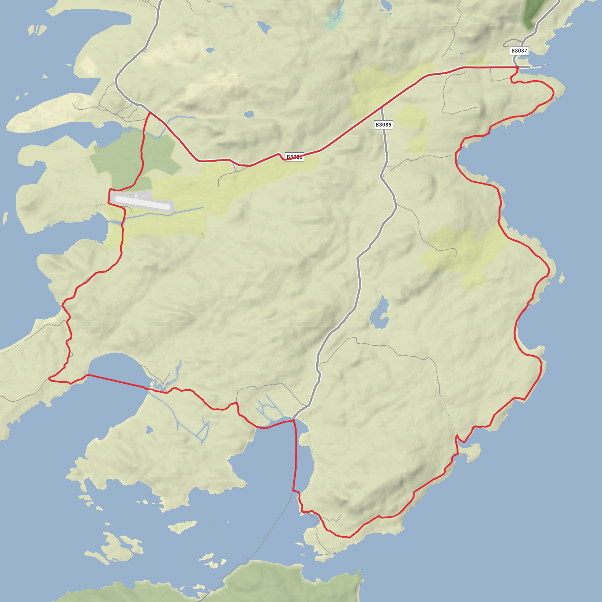
This easy coastal-and-lochside loop on Colonsay covers about 18 km / 11.2 miles with only around 100 m / 328 ft of ascent, so it is much more about time on your feet, changing shoreline scenery, and exposure to weather than about climbing. The route explores the quieter ground south and west of Scalasaig, linking the sheltered waters of Loch Staosnaig with the darker rocky point of Rubha Dubh, the coastal inlets around Port na h-Arbhair, and the open sweep of Plaide Mhòr. Expect a long but generally gentle outing over mixed island terrain: estate tracks, grassy paths, rough coastal sections, short boggy patches, and occasional stony or uneven ground. Colonsay’s landscape is low-lying here, but the coast is intricate, so the walking can feel slower than the elevation profile suggests. Loch Staosnaig is also known locally as Queen’s Bay, a sheltered anchorage with visitor moorings added in 2022 and long associations with royal visits by yacht. (geograph.org.uk)
The most practical trailhead is near Scalasaig Harbour, Colonsay, the island’s main ferry terminal and settlement, rather than an isolated roadside start. Scalasaig is the nearest significant landmark and arrival point for most walkers. Caledonian MacBrayne’s route connects Colonsay with Oban, and the Oban–Colonsay crossing is typically about 2 hours 15–20 minutes depending on the sailing information page consulted. Booking ahead is recommended, especially for vehicles. (calmac.co.uk)
If arriving by car, you would normally drive to Oban Ferry Terminal and take the ferry to Scalasaig Harbour on Colonsay. Once on the island, parking is usually centered around Scalasaig and nearby village roads. If using public transport, the simplest approach is train or bus to Oban, then the ferry as a foot passenger to Colonsay; Oban port has connecting rail, bus, taxi, and car-hire links. Current community information indicates Colonsay does not have a regular bus service, so walkers should plan on starting directly from Scalasaig or arranging local transport in advance if staying elsewhere on the island. (calmac.co.uk)
What the route feels like
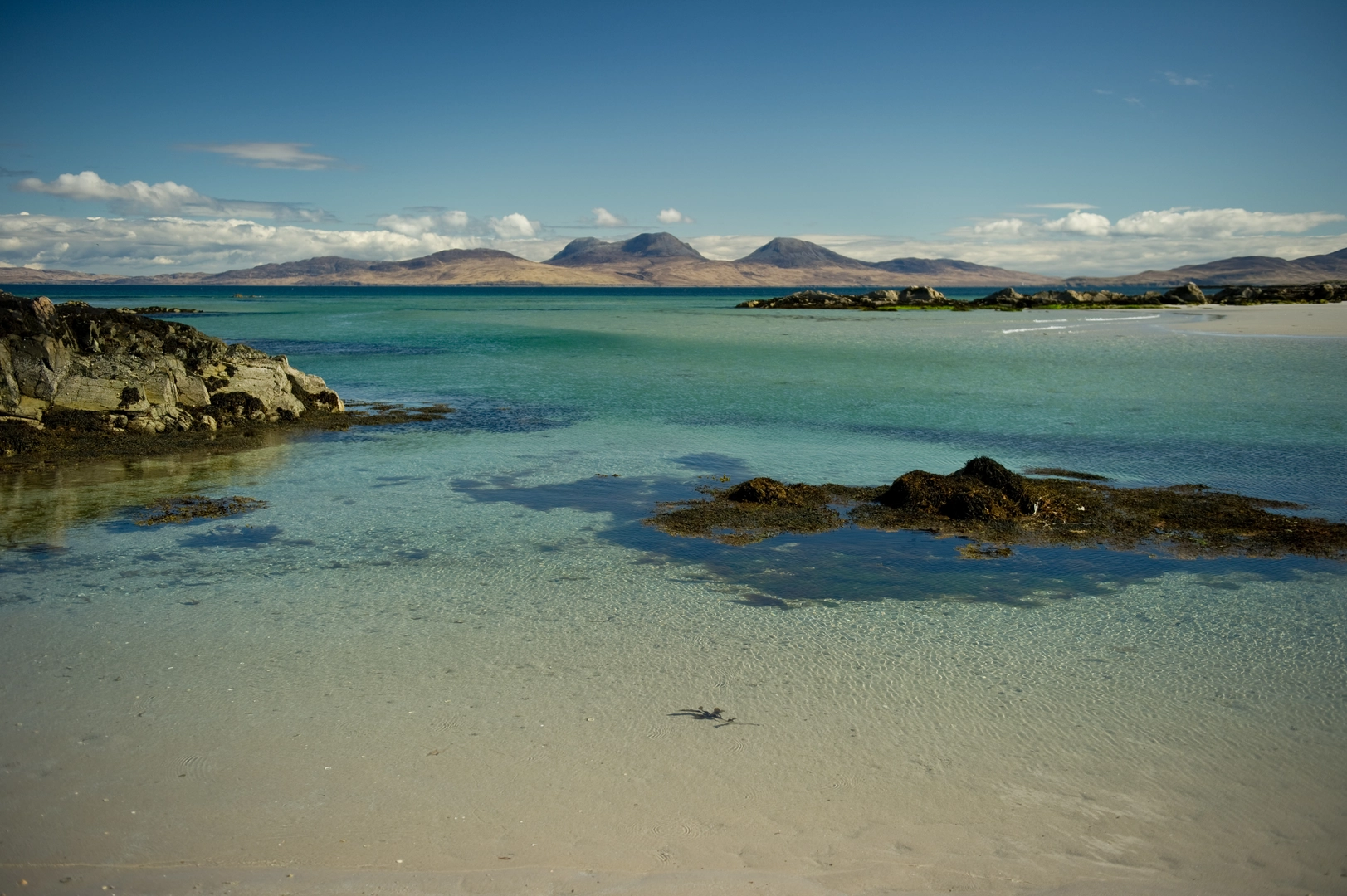
From the Scalasaig side, the first part of the loop is usually the easiest underfoot, with a gradual transition from the harbour area into quieter coastal ground. Loch Staosnaig forms one of the highlights early on: a deeply indented, sheltered sea loch with pale sand, calm water in settled weather, and broad views across to Jura and the north coast of Islay. The bay’s reputation as “Queen’s Bay” hints at its long-standing appeal as a stopping place for boats, and it gives the walk an unexpectedly serene opening section. (geograph.org.uk)
Beyond the loch, the route becomes more characterful and a little rougher as it trends toward Rubha Dubh. This headland is marked by a lighthouse near Scalasaig, and the surrounding coast has the darker, rockier feel suggested by the Gaelic name. The walking here is still easy in grading terms, but hikers should expect less definition in places, especially where grassy lines fade into open coastal ground. In wet weather, the combination of short turf, peatier patches, and sea-splashed rock can become slippery. (geograph.org.uk)
Port na h-Arbhair and Plaide Mhòr add variety rather than height. These sections are where the route feels most remote
Surfaces
Unknown
Sand
Comments and Reviews
User comments, reviews and discussions about the Loch Staosnaig, Rubha Dubh, Port na Arbhair and Plaide Mhor Loop, Scotland.
average rating out of 5
0 rating(s)
