Download
3D Flyover
Add to list
More
13.7 km
~2 hrs 53 min
86 m
Out and Back
“A gentle wander into Arran’s quieter wilds, where peat-dark lochs and open moorland invite reflection.”
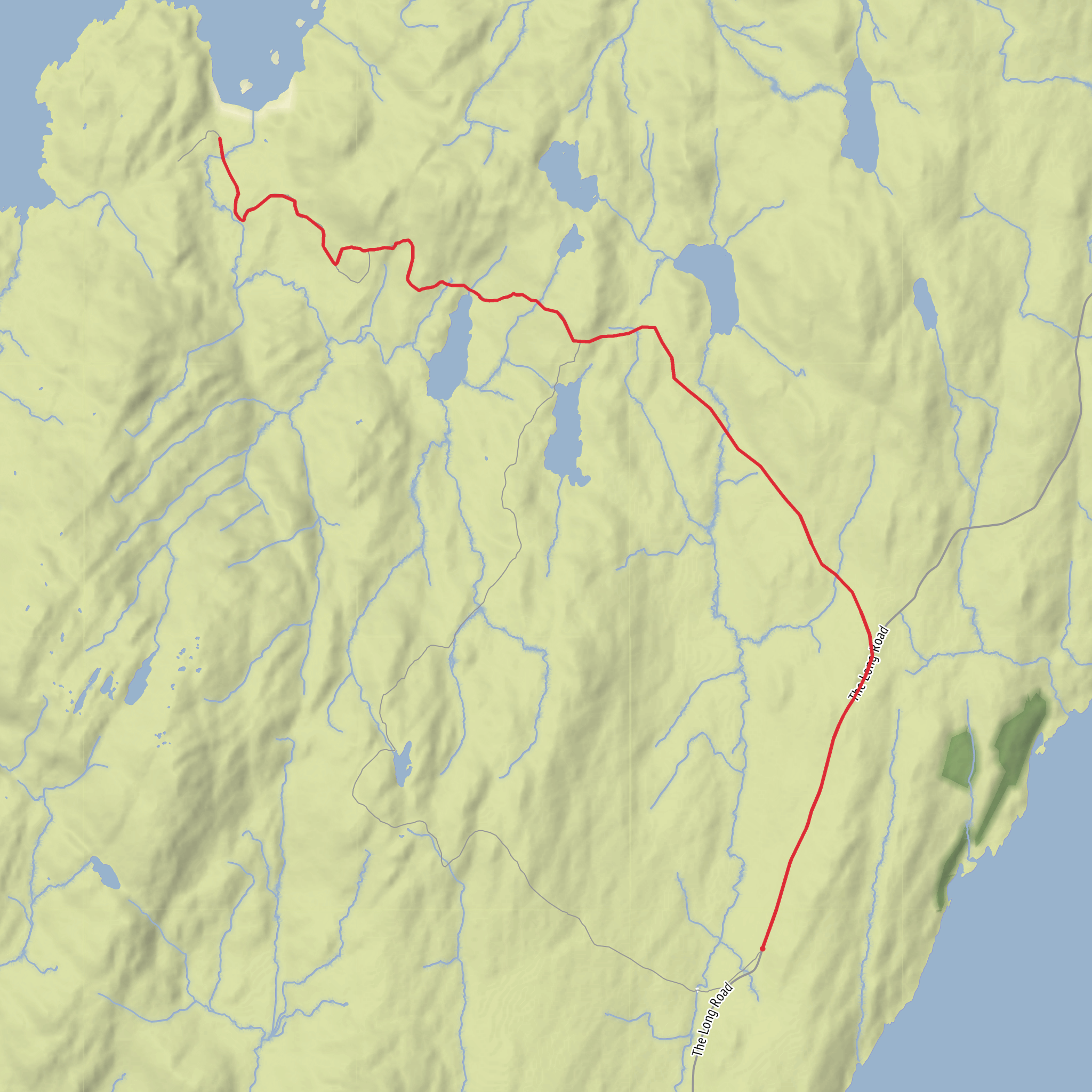
This easy-going out-and-back or point-to-point style walk explores one of the quieter corners of the Isle of Arran, linking the North End near Lochranza and the Cock of Arran area with the remote glenland around Glengarrisdale, passing inland waters including Loch a’ Gheoidh and Loch Doire na h-Achlaise. Expect roughly 14 km / 8.7 miles with only about 100 m / 328 ft of ascent, so the challenge is less about climbing and more about the remoteness, underfoot conditions, and keeping track of the route across open ground. The island’s north end is especially rugged, with a reputation for rougher coastal and moorland terrain than the mileage alone might suggest. (visitarran.com)
The start is best understood as being near Lochranza at Arran’s North End, the northern tip of the island associated with the Cock of Arran landmark rather than a formal urban address. “North End” on Arran is commonly used for this far-northern section of the island, and Lochranza is the nearest well-known village and practical access point for walkers. (visitarran.com)
Getting there by car is straightforward once on Arran: drive to Lochranza, Isle of Arran, KA27 8HL, the village best known for Lochranza Castle and the road’s northern reach before the wilder coastal ground begins. If arriving from mainland Scotland, most visitors come via the ferry to Brodick and then continue north by road across the island. Public transport is also realistic: Arran’s bus network connects from Brodick ferry terminal, and the 324 bus runs via Lochranza to Blackwaterfoot (North End), making Lochranza the most useful drop-off for this walk. Buses on Arran are coordinated around the island’s main settlements and ferry arrivals, but timetables should always be checked before setting out. (arranlets.com)
The first part of the route has a distinctly wild northern-Arran feel. Even with minimal ascent, the landscape can feel exposed, with rough grass, boggier patches, and intermittent path definition. On a dry day this is a relaxed low-level outing; after rain, progress can slow considerably. Because the route moves through less-frequented ground rather than a heavily engineered trail, it is worth loading the route in HiiKER before setting off and allowing extra time for wet sections and any faint junctions across moor or glen. The low elevation gain makes it suitable for many walkers, but the terrain still rewards steady pacing and waterproof footwear.
What the route feels like
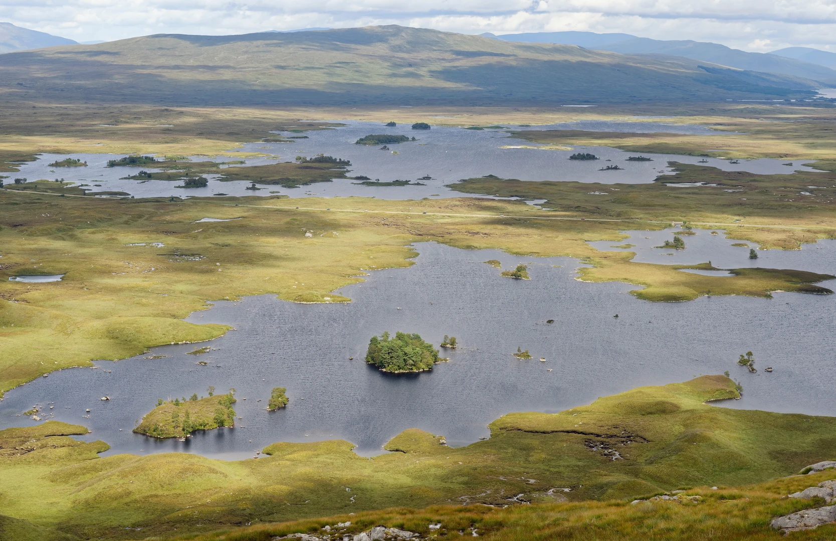
From the north end, the walk gradually leaves behind the more settled feel of Lochranza and enters a quieter landscape of open moor, lochans, burns, and broad glen scenery. With only around 100 m / 328 ft of climbing spread over 14 km / 8.7 miles, there are no major pulls, just gentle undulations. The lochs named in the route title are the main navigational and visual anchors, and they give the walk much of its character: still water, peat-dark margins, and wide views toward Arran’s more dramatic northern hills. The contrast between low, open ground and the island’s steeper granite skyline is one of the pleasures of this outing. Arran itself is geologically famous for the divide between Highland and Lowland character, and even on a modest walk like this you can feel that variety in the surrounding landforms. (visitarran.com)
Loch a’ Gheoidh and Loch Doire na h-Achlaise bring a quieter, more intimate side of Arran than the island’s headline mountain routes. Around these waters, expect sedges, rushes, damp moorland vegetation, and a sense of space rather than dramatic
Surfaces
Unknown
Unpaved
Comments and Reviews
User comments, reviews and discussions about the North End to Glengarrisdale via Loch a' Gheoidh and Loch Doire na h-Achlaise, Scotland.
average rating out of 5
0 rating(s)
