Download
3D Flyover
Add to list
More
24.1 km
~6 hrs 2 min
728 m
Out and Back
“From broad moor to singing shore and cliffside beacon, this Islay trek feels gloriously wild.”
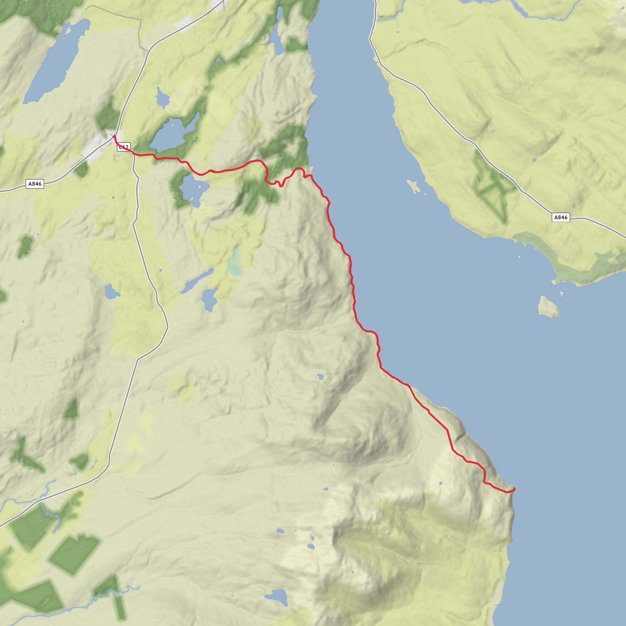
This medium-grade outing links one of Islay’s quieter shores with a dramatic lighthouse headland, giving you a long day of roughly 24 km / 15 miles with about 700 m / 2,300 ft of ascent. Expect a mix of estate tracks, rough coastal ground, open moor, and exposed cliff-top walking rather than a continuously waymarked path. The route is best suited to hikers who are comfortable with a full day out, variable underfoot conditions, and sections where careful navigation is important, especially in mist or poor visibility. For planning, the nearest clear starting landmark is Ballygrant Village Hall, Ballygrant, Isle of Islay, PA45 7AQ area, which is specifically noted as a useful parking point for walks toward Traigh Bhan. (islaygeology.org)
The opening miles are typically gentler, using the approach east from Ballygrant before the route trends toward the coast. This first section gives a good sense of Islay’s inland character: open grazing land, rough pasture, low moor, and broad skies, with the sea gradually becoming more prominent. Although the total elevation gain is moderate overall, it tends to come in rolling rises rather than one single sustained climb, so pacing matters. After wet weather, expect boggy patches and soft ground, and even straightforward-looking tracks can become tiring over this distance. If you are loading the route into a navigation app, use HiiKER and carry a backup power source, because this is the kind of walk where small route-finding errors can cost time and energy.
Terrain and route character
Traigh Bhan is one of the key highlights and gives the walk a very different feel from the inland approach. On Islay, Traigh Bhan is known as a west-coast beach, and the name is also associated elsewhere on the island with the “Singing Sands,” so it is worth checking the exact line of your route before setting out. The Ballygrant-side approach described in local geology material leads to the shore on straightforward terrain and good track for much of the way, but once you leave the easier access ground, the character becomes more rugged and remote. (islayinfo.com)
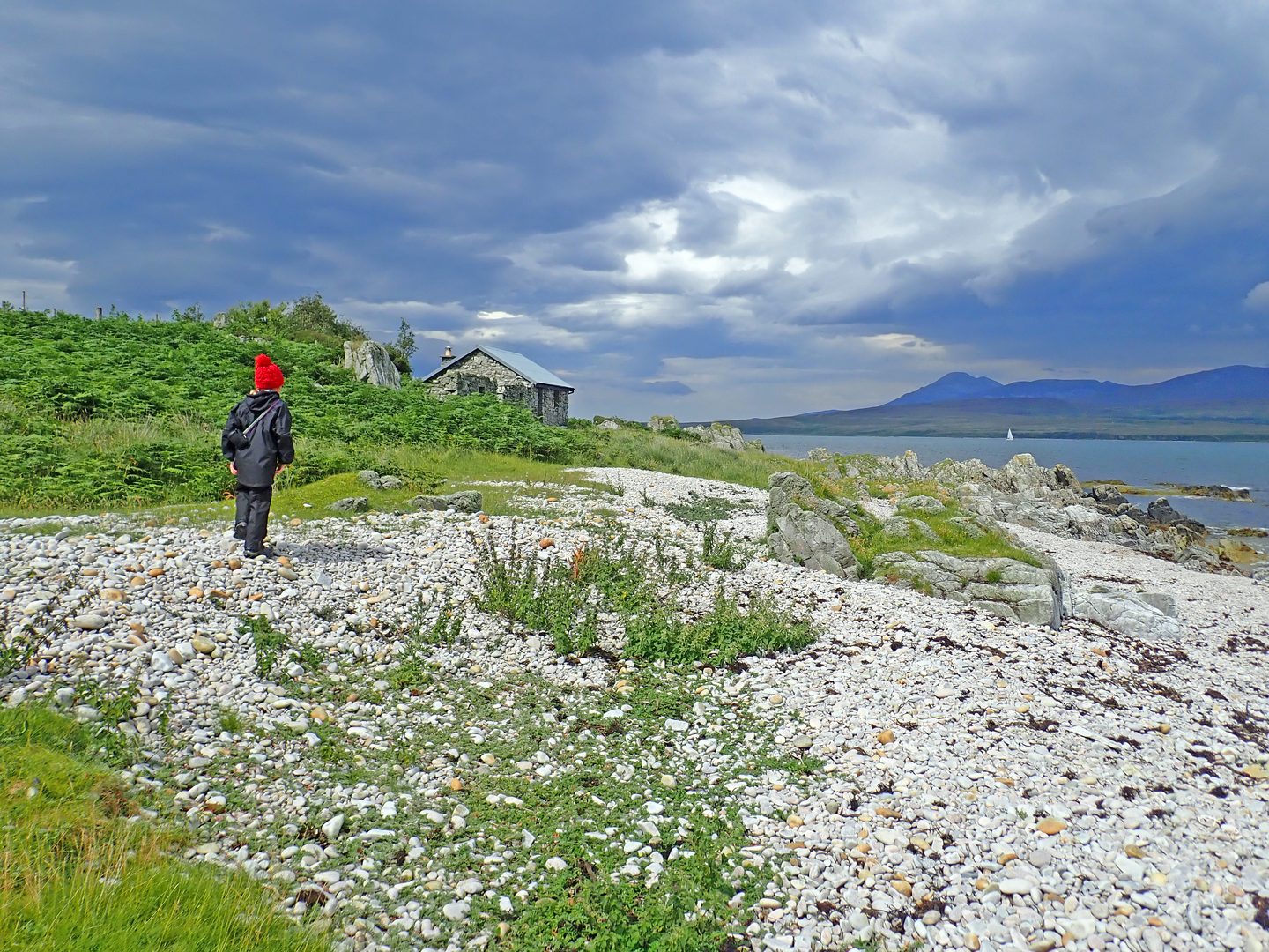
Around the shore, expect a combination of sand, shingle, rock shelves, and uneven grassy margins. Progress can slow here, particularly if you spend time exploring the beach or picking a careful line around wetter inlets and broken ground. If your route continues onward toward McArthur’s Head, the atmosphere shifts from beach walking to a more exposed coastal traverse. The headland sits above steep sea cliffs at the entrance to the Sound of Islay, and the sense of exposure increases noticeably as you approach the lighthouse. McArthur’s Head lighthouse itself stands on a high cliff and is one of the defining landmarks of this coast. (nlb.org.uk)
Because this is a long route, hikers should think in sections: easier approach, slower coastal travel, then the more committing headland portion, followed by a return that can feel longer than expected if the wind is in your face. Strong westerlies or easterlies can change the difficulty significantly. Even on a dry day, the cliff-top stretches demand attention, and in wet or windy conditions they can feel much more serious than the “medium” rating suggests.
Landmarks, wildlife, and what to watch for
McArthur’s Head lighthouse is the standout man-made landmark. It was built by David and Thomas Stevenson of the famous Stevenson lighthouse-engineering family, whose work shaped much of Scotland’s coastal navigation network. The lighthouse occupies a strategic position above the southern entrance to the Sound of Islay, and that setting helps explain why this coast has long mattered to shipping. (nlb.org.uk)
The natural landmarks are just as memorable. Traigh Bhan offers a broad coastal contrast to the darker rock and cliff scenery farther on, while the Sound of Islay provides constant views across moving water toward Jura and the surrounding sea lanes. This part of Islay is also geologically significant. The Ballygrant-to-coast area is noted for major rock formations tied to the Islay Anticline and for exposures connected to ancient glacial deposits in the Port Askaig Formation. More broadly, the geology around Ballygrant and northern/eastern Islay preserves evidence linked to the “Snowball Earth” interval around 700 million years ago, making the landscape scientifically important as well as scenic. (islaygeology.org)
Wildlife can be a major part of the day. Along Islay
Comments and Reviews
User comments, reviews and discussions about the Traigh Bhan and McArthur's Head, Scotland.
average rating out of 5
0 rating(s)
