Download
Preview
Add to list
More
5.4 km
~1 hrs 12 min
72 m
Loop
“Clifftop views, seabird cries, and Loch Mackie make this Balcary loop a quietly rewarding coastal ramble.”
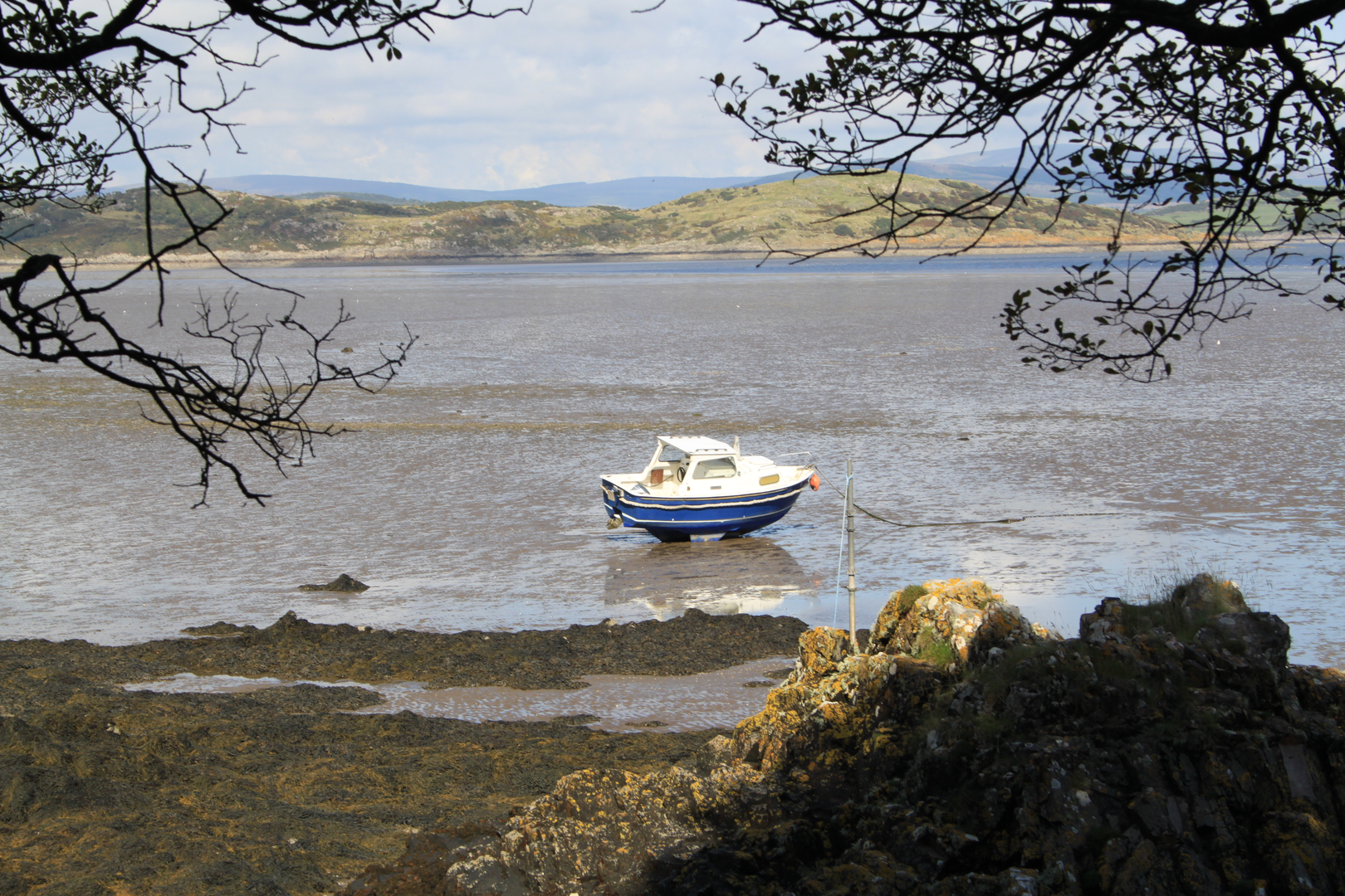
This easy coastal loop near Balcary Bay Hotel, Balcary Bay, Auchencairn, Castle Douglas DG7 1QZ, Scotland starts from the car park at the end of the public road at Balcary Bay, just beyond the hotel. The route is commonly described as a circular walk linking Balcary Point, Airds Point, the shore near Rascarrel, and Loch Mackie, with a shorter loop option of about 5 km / 3.1 miles and roughly 100 m / 330 ft of ascent, though some mapped versions of the wider circuit are longer and hillier. Expect around 1.5 to 2.5 hours depending on pace, stops, and ground conditions. (info.dumgal.gov.uk)
Getting to the start is simplest by car. From Auchencairn, follow signs for Balcary along the narrow minor road for about 2 miles / 3.2 km; you pass the bowling green on the left before the road drops toward the bay and ends at the parking area beside the coast. Public transport is limited: there is no service to the trailhead itself, and the nearest practical bus access is generally Auchencairn, which has bus links from places such as Dalbeattie, Castle Douglas, Kirkcudbright, and sometimes Dumfries. From Auchencairn, reaching the start means a road walk or arranging a taxi. (info.dumgal.gov.uk)
The walk begins gently on a signed track for Balcary Point and Rascarrel, then passes through a kissing gate and skirts the edge of a field with wide views over Auchencairn Bay. Early on, the terrain is straightforward: grassy paths, short woodland sections, and clear trods through pasture. This opening stretch is a good place to settle into the route, but it is worth noting that livestock are often present, so dogs need close control and walkers should be prepared for muddy patches after wet weather. (info.dumgal.gov.uk)
What to expect on the route
As the path reaches the woodland edge and then rounds Balcary Point, the character of the walk changes from sheltered and pastoral to distinctly coastal. The views open toward Hestan Island, across the Solway Firth, and back inland toward hills including Screel and Bengairn. The route then climbs onto the higher clifftop section, where most of the ascent is concentrated. Even on an easy-rated outing, this is the part that deserves the most attention: the path can be narrow, uneven, and exposed beside unfenced cliff edges, especially if the ground is wet or the wind is strong. (info.dumgal.gov.uk)
The high point gives some of the best scenery on the loop, with benches at viewpoints near the clifftops and at Airds Point. From there, the route descends toward the shore, where the landscape softens into rough coastal grass, scattered native trees, and a quieter shoreline feel. On the shorter version, the loop turns inland near the cottages and heads back via Loch Mackie, a man-made loch crossed at its dam, before returning by tracks and lanes to the start. This inland return is usually easier underfoot than the cliff section, though it can still be muddy and may include gates, rough tracks, and occasional detours if forestry work is underway. Using HiiKER for navigation is a good idea, particularly where inland tracks branch near the cottages, road, and loch. (info.dumgal.gov.uk)
Landmarks, wildlife, and seasonal interest
One of the most notable landmarks near the start is the former lifeboat station / boathouse area on the Balcary side of the route, followed by the dramatic cliffline beyond the point. The coast here is especially lively in late spring and early summer, when the cliffs support nesting seabirds. Reports for the route mention guillemots, razorbills, kittiwakes, and cormorants on the cliffs, while the wider area is also good for spotting stonechats and other coastal birds. Around Loch Mackie, walkers may see mallard, tufted duck, and sometimes additional waterfowl. (info.dumgal.gov.uk)

Comments and Reviews
User comments, reviews and discussions about the Balcary Point and Airds Point Loop, Scotland.
average rating out of 5
0 rating(s)