Download
Preview
Add to list
More
6.8 km
~1 hrs 25 min
36 m
Loop
“A gentle Threave loop threads woods, wetlands and hidden history through a quietly enchanting estate landscape.”
This easy loop in the Threave estate area of Dumfries and Galloway makes a gentle countryside circuit of about 7 km / 4.3 miles, with very little climbing overall. Although your supplied elevation gain is around 0 metres, walkers should still expect a few mild undulations on field-edge and woodland paths; nearby comparable route information in the same area suggests the ground is generally low-lying rather than flat as a boardwalk, so it is best thought of as an easy, mostly level outing rather than a perfectly level one. The landscape is a mix of estate tracks, riverside or wetland-edge paths, old transport corridors, open farmland and small wooded rises, with Meikle Wood Hill itself sitting at only about 70 m / 230 ft above sea level. (ramblers.org.uk)
The walk is associated with the Threave Garden and Threave Nature Reserve area, just west of Castle Douglas. A practical start point is the lower Threave Gardens car park off the Rhonehouse Road, with the Ramblers listing giving the starting point at grid reference NX 75200 60701 and nearest postcode DG7 1RY. Threave Garden & Nature Reserve’s visitor address is Castle Douglas, DG7 1RX, and the National Trust for Scotland notes that the estate lies about 1 mile west of Castle Douglas, just off the A75. (ramblers.org.uk)
By car, the approach is straightforward from Castle Douglas or the A75: turn onto the B736 at the roundabout and follow signs for Threave Garden, while the road for the nature reserve and Threave Castle is opposite the same roundabout and signed for Kelton Mains or Threave Castle. Parking is available at Threave Garden and also at the Threave Nature Reserve / Kelton Mains side, which can be useful if you want to shorten logistics or adjust the loop. By public transport, the simplest plan is usually to travel to Castle Douglas first and then continue by local taxi or a careful road walk/cycle to the estate, as the official visitor information confirms public transport access but emphasizes the estate’s road approach rather than naming a rail station on site. For navigation on the ground, HiiKER is the best tool to have ready, especially where paths split around estate tracks, woodland edges and reserve paths. (nts.org.uk)
The route begins in easy pastoral country, where broad tracks and good footpaths make for relaxed walking. In this part of Galloway, the scenery is less about dramatic ascent and more about atmosphere: hedgerows, grazing land, mature trees, wet ground near the River Dee system, and long views across a historic estate landscape. Underfoot, expect a mixture of compact paths, farm or estate tracks, and sections that can turn muddy after rain. A local Ramblers description of a closely matching circuit specifically notes good footpaths throughout, but also warns that some can be muddy, which is worth taking seriously if there has been recent wet weather. Waterproof footwear is a sensible choice even on an easy day. (ramblers.org.uk)
Along the loop
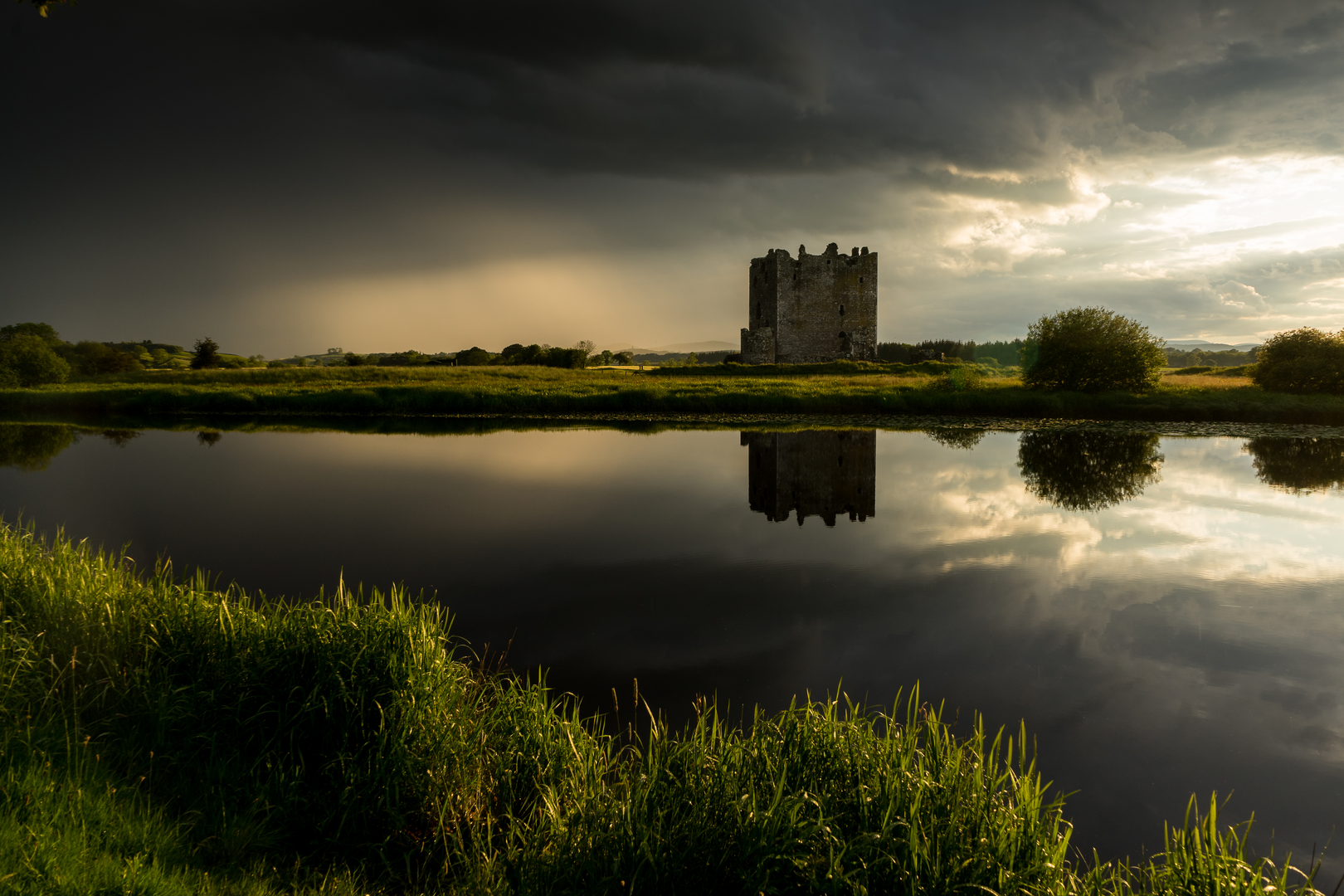
One of the most interesting features of this circuit is how much history is packed into such modest terrain. The line toward Kelton Mill and the old Kirkcudbright railway corridor gives the walk a strong sense of former movement through the landscape, linking estate, agriculture and transport history. The route also connects naturally with views toward Threave Castle and the wider reserve, so even when the walking is easy, there is plenty to hold attention beyond the path itself. A Ramblers overview of the area describes a walk from the Threave Gardens car park that goes alongside the road to Kelton Mill, follows the old Kirkcudbright railway line, then heads toward Threave Castle before returning via Meikle Wood Hill and Barley Hill. (ramblers.org.uk)
Meikle Wood Hill is the standout historic landmark on the higher ground. Historic Environment Scotland records a scheduled prehistoric fort here, likely dating to the Iron Age, roughly 500 BC to AD 500. The remains survive mainly as buried archaeological features visible in aerial imagery rather than as dramatic walls on the ground, but the site includes a multi-ditched sub-circular fort and the remains of a roundhouse within

Surfaces
Unknown
Wood
Comments and Reviews
User comments, reviews and discussions about the Barley Hill, Meikle Wood hill, Little Wood Hill and Kelton Mill Bridge Loop, Scotland.
average rating out of 5
0 rating(s)