Download
3D Flyover
Add to list
More
9.5 km
~2 hrs 33 min
393 m
Out and Back
“A dramatic island ramble weaving volcanic ridges, boggy lochside quiet, and sweeping Hebridean horizons.”
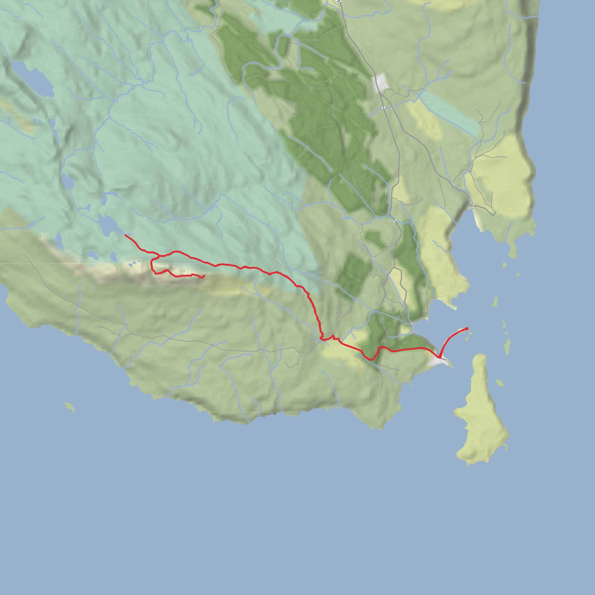
This roughly 9 km / 5.6 mile outing on the Isle of Eigg packs a lot into a relatively short day: a striking volcanic ridge, open moorland, a loch with archaeological interest, and wide Hebridean views that can feel much bigger than the mileage suggests. With around 400 metres / 1,310 feet of ascent, it sits well in the medium category, but the terrain is what gives it character: expect a mix of island tracks, rougher hill paths, wet ground near the loch, and steeper, rockier sections as you approach An Sgùrr. The route is best treated as a half-day to relaxed full-day walk, depending on weather, ground conditions, and how long you stop for views and exploration. An Sgùrr is Eigg’s highest point and its most distinctive landform, a dramatic pitchstone ridge created by volcanic activity in the Palaeogene, making this one of the most geologically memorable walks in the Small Isles. (geoguide.scottishgeologytrust.org)
The start is most sensibly described as near Galmisdale Pier, Isle of Eigg, PH42 4RL, the island’s main arrival point and the nearest significant landmark for most walkers beginning this route. Galmisdale is the main port on Eigg, and most visitors arrive here before walking inland toward the hill ground below An Sgùrr. (en.wikipedia.org)
Getting there takes a little planning because Eigg is an island and transport is timetable-dependent. The main public route is by Caledonian MacBrayne ferry from Mallaig to Eigg, with the Small Isles service operating from the mainland port at Mallaig; this route is foot passenger only for Eigg bookings on the CalMac system, so many walkers arrive without a car. Mallaig itself is linked by rail, and ScotRail notes the station connects with ferry services to Eigg and the other Small Isles. In the warmer part of the year, there is also a passenger ferry from Arisaig operated by Arisaig Marine. Because sailing patterns and calling orders can vary, it is worth checking the latest ferry status before committing to the walk. (calmac.co.uk)
If travelling by car, the usual approach is to drive to Mallaig Harbour, Mallaig, Highland, PH41 4QD and continue as a foot passenger. Mallaig Harbour advises that it does not provide general long-stay parking for ferry users outside the marshalling lanes, so drivers should expect to use nearby public car parks instead. Once on Eigg, road access is limited and the walk begins on foot from the pier area. (mallaig-harbour.com)
What the walk feels like
From Galmisdale, the route heads away from the harbour and into Eigg’s interior, where the island quickly shifts from settled ground to open, exposed country. Early on, the gradients are usually manageable, giving you time to settle in before the hill steepens. The landscape opens steadily, with views back over Galmisdale Bay and outward to neighbouring islands and the mainland coast. Even low on the route, the sense of exposure can be strong if wind is up, so waterproofs and warm layers are worth carrying even on a seemingly calm day.
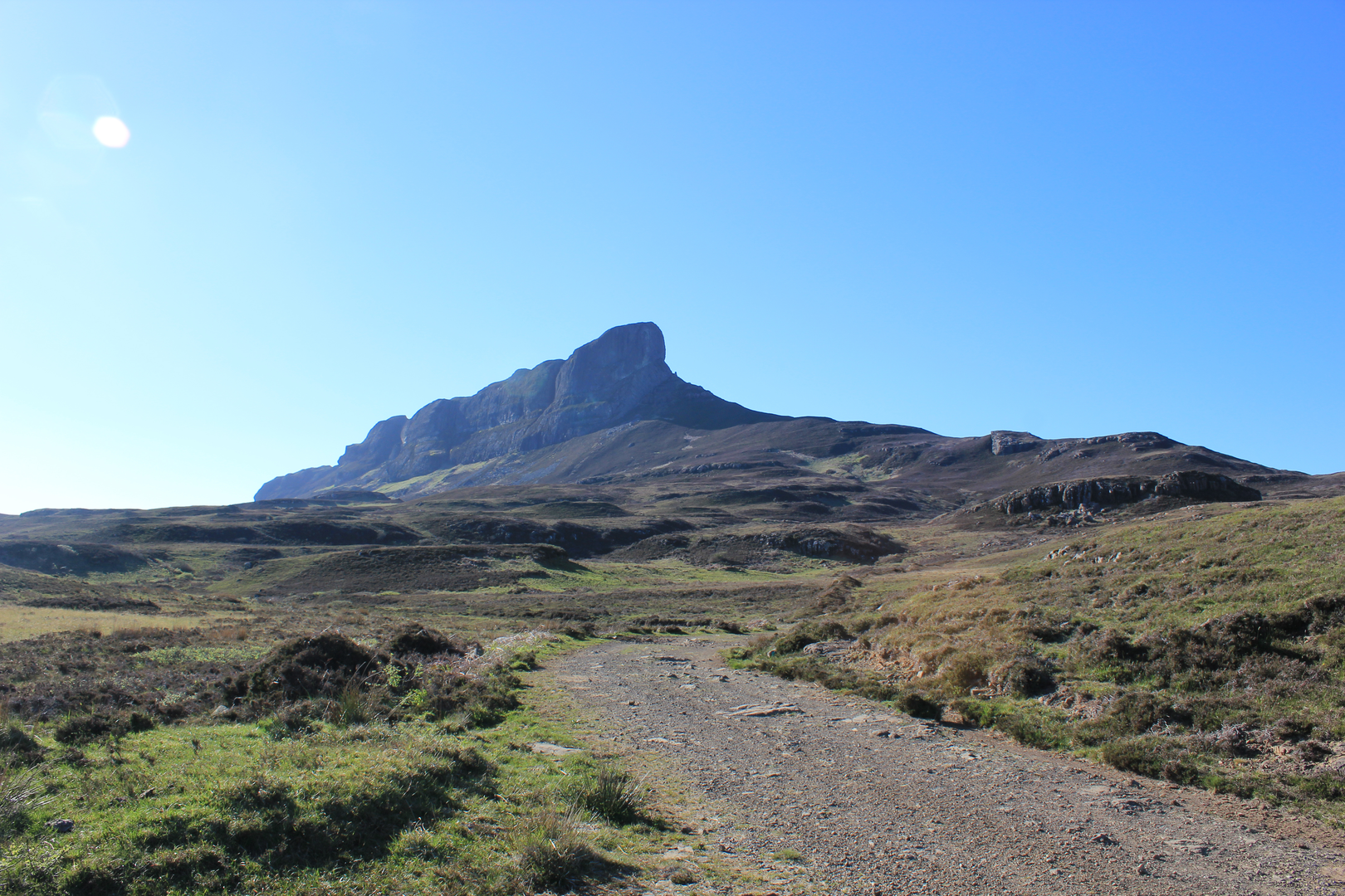
As height is gained, An Sgùrr becomes the dominant feature. This is not a broad rounded hill but a narrow, rugged volcanic spine, and that gives the walk a more dramatic feel than the modest distance might imply. The ascent of around 400 metres / 1,310 feet is not huge, but it is concentrated enough to be noticeable, especially if the ground is slick or if there is a strong crosswind on the higher sections. HiiKER is the navigation tool to rely on for confirming the exact line of approach and any junctions across the moorland sections.
Loch nam Ban Mora adds a very different character to the outing. Rather than a simple summit-and-back hillwalk, this route combines upland scenery with a quieter lochside section where the terrain can feel more remote and softer underfoot. In wet weather, expect boggy patches and slower progress around the loch margins and on flatter ground beneath the ridge.
Landmarks, geology, and historical interest
An Sgùrr is the headline landmark. It is formed from pitchstone, the remnant of a volcanic event that filled an ancient valley, and it stands out sharply from the surrounding lava landscapes of Eigg. That unusual geology is one reason the hill looks so distinctive from sea level and from the ferry
Surfaces
Unknown
Ground
Comments and Reviews
User comments, reviews and discussions about the An Sgurr and Loch nam Ban Mora from Eigg, Scotland.
average rating out of 5
0 rating(s)
