Download
3D Flyover
Add to list
More
321.7 km
~13 days
8475 m
Multi-Day
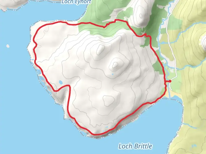
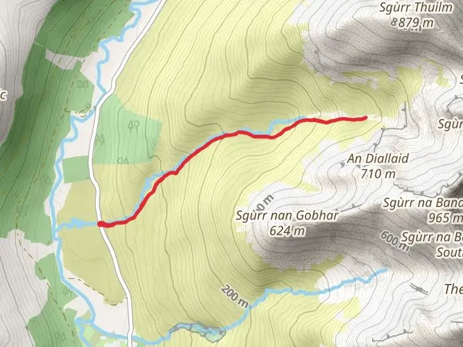
The Famous Highland Drove Walk is a 321.7 km trail that starts in , Highland, Scotland. Based on our data, the hike is graded as Medium. For information on how we grade trails, please read measuring the difficulty of a hiking trail on hiiker. Also, check our latest community posts for trail updates. This hike can be completed in approx 13 days. Caution is advised on trail times as this depends on multiple variables. For more info read about how we calculate hike time.

What to expect?
Activity types
Frequently asked questions
How long is the Famous Highland Drove Walk in Scotland and how many days does it take?
The Famous Highland Drove Walk is 321.72 km long with 8,475 m of total ascent, so it is firmly a multi-day route rather than a weekend walk. Most hikers would break a route of this length into roughly two to three weeks, depending on daily mileage, weather, and how much time is allowed for remote sections such as the Corrieyairack Pass.
How difficult is the Famous Highland Drove Walk and what kind of terrain does it cover?
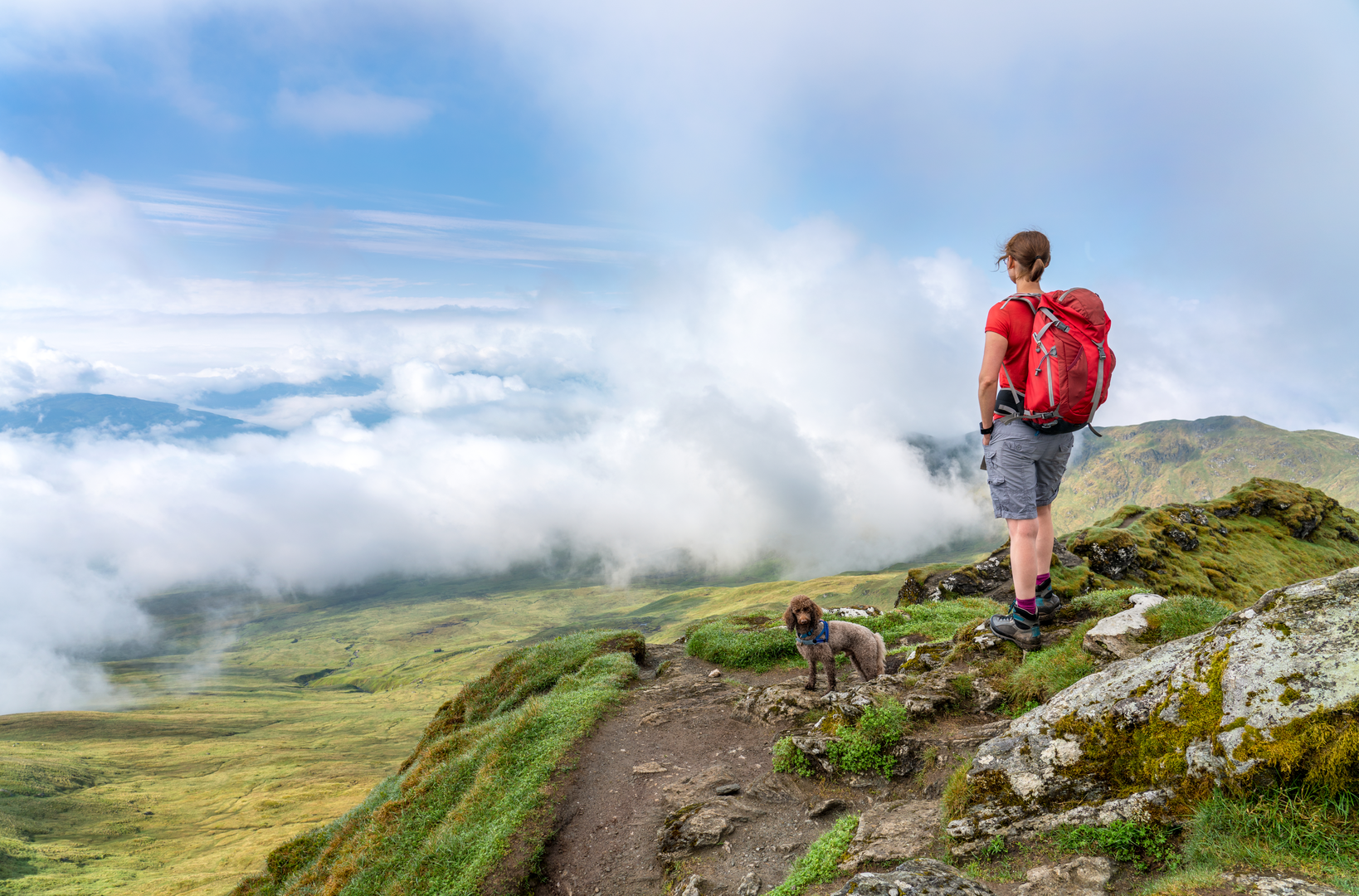
The Famous Highland Drove Walk is rated medium, but the overall challenge comes from its 321.72 km length and 8,475 m of climbing. Terrain on the historic drove-road sections in the Highlands typically includes long estate tracks, old military road, rough hill paths, moorland crossings, and exposed higher ground, especially around the Corrieyairack Pass.
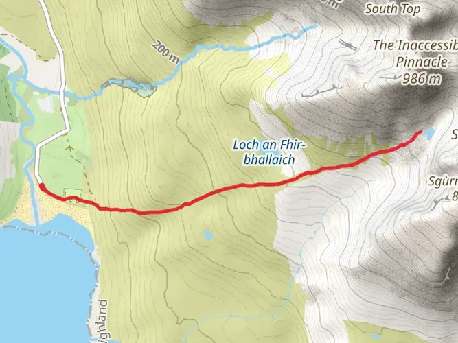
Does the Famous Highland Drove Walk go over the Corrieyairack Pass?
Yes. The Famous Highland Drove Walk uses the Corrieyairack Pass, the old military road between Fort Augustus and the Laggan area. The pass rises to more than 770 m and is one of the most remote and memorable sections of the route, with long zigzags and wide views across the Monadhliath.
Where does the Famous Highland Drove Walk start and finish?
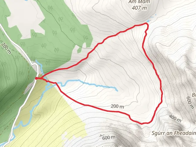
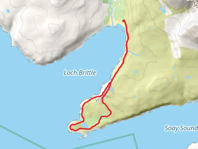
The route is in Highland, Scotland, and links historic drove-road country across the region rather than staying on a single short local circuit. One of its key named sections is the Corrieyairack Pass between Fort Augustus and Laggan, and the walk also connects with the Great Glen corridor, including places such as Fort William, Invermoriston, and Drumnadrochit.
Is the Famous Highland Drove Walk waymarked or easy to follow?
Some sections follow established long-distance routes and historic lines that are relatively straightforward, but a 321.72 km Highland crossing should not be treated as a fully simple navigation walk from end to end. Expect a mix of clearer waymarked stretches and more remote old drove-road terrain where map reading and careful route-finding are important, particularly in poor visibility on higher ground.
Can the Famous Highland Drove Walk be done using public transport?
Yes, parts of the Famous Highland Drove Walk are accessible by public transport because it connects with settlements on the Great Glen, including Fort William, Fort Augustus, Invermoriston, and Drumnadrochit. The more remote interior sections, especially around the Corrieyairack Pass and upland drove roads, have far fewer transport options, so logistics usually need to be planned around road-end villages rather than mid-route pickup points.
What is the best time of year to hike the Famous Highland Drove Walk?
Late spring through early autumn is usually the most practical window for the Famous Highland Drove Walk. That gives the best chance of longer daylight and more stable conditions on exposed sections, while higher ground such as the Corrieyairack Pass can be much more serious in winter because of snow, wind, and difficult footing on old road and moorland terrain.
Comments and Reviews
User comments, reviews and discussions about the Famous Highland Drove Walk, Scotland.
4.55
average rating out of 5
22 rating(s)