Download
3D Flyover
Add to list
More
10.7 km
~2 hrs 32 min
233 m
Point-to-Point
“A quietly dramatic lakeside ramble through glacial flats, beech slopes, and mountain-shadowed shoreline.”
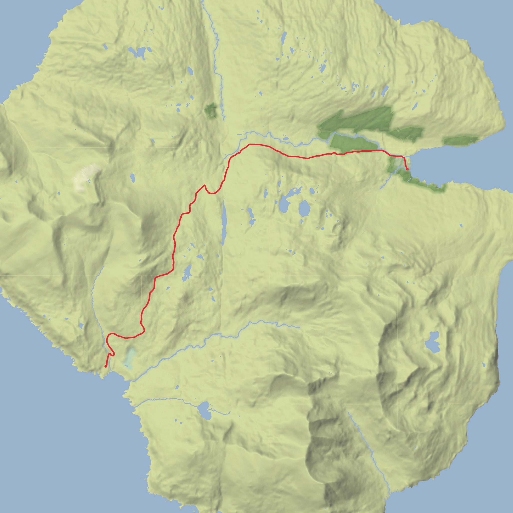
This point-to-point walk links the tiny lakeside settlement of Kinloch with Harris Bay at the head of Lake Wakatipu/Whakatipu Waimāori, following a quieter stretch of shoreline and valley-edge country near Glenorchy. At around 11 km (6.8 miles) with roughly 200 m (656 ft) of elevation gain, it sits well in the medium category: not especially technical in dry conditions, but long enough that weather, footing, and transport logistics matter. The setting is classic head-of-the-lake scenery—broad water views, beech-clad slopes, glacially shaped landforms, and big mountain backdrops that make even a modest day walk feel remote and dramatic. The wider Glenorchy area is known as a gateway to major backcountry routes, including the Routeburn Track, and the landscape around the lake was shaped by glaciation and later sediment build-up from the Dart and Rees river systems. (doc.govt.nz)
The start is best understood as being near Kinloch Lodge, Kinloch, Glenorchy 9372, New Zealand, a well-known landmark on the northern side of Lake Wakatipu near the Routeburn Road turnoff area. Harris Bay is a small bay on the same head-of-lake shoreline, reached by continuing southward along the lake margin and adjacent flats toward the Glenorchy side of the basin. Kinloch itself is a historic outpost near Glenorchy, and the area now has heritage interpretation reflecting its long local story. (glenorchycommunity.nz)
Getting to the trailhead is usually simplest by car. From Queenstown, drive the Glenorchy–Queenstown Road north to Glenorchy, then continue toward Kinloch via the Routeburn/Paradise side roads; the Queenstown to Glenorchy drive is one of the defining scenic approaches to the head of the lake, especially as the road rounds Bennetts Bluff. If you are relying on public transport, options are much more limited than in Queenstown itself. Scheduled transport is commonly available to Glenorchy and, in the broader area, shuttle services are often oriented toward Routeburn Track walkers rather than short local point-to-point hikes, so it is wise to arrange a drop-off, pickup, or taxi transfer in advance rather than assume a same-day local bus connection to Kinloch. Because this is not a loop, confirm your finish transport before setting out. (glenorchycommunity.nz)
What the walk is like
From Kinloch, the route begins gently, with easy early progress through open lakeside country and pastoral margins before transitioning into more natural shoreline and bush-fringed sections. The climbing is generally spread out rather than concentrated in one punishing ascent, so the 200 m (656 ft) of gain tends to come in rolling rises and small terraces rather than a single steep haul. Expect the first few kilometres to feel relatively relaxed, with the lake often close by and long views opening south and east across the water.
As the walk develops, the character becomes more varied. Short undulations, occasional rougher footing, and potentially damp ground can slow the pace more than the raw distance suggests. On a dry day, many hikers will find the terrain straightforward, but after rain the ground can become slick, especially where roots, mud, or lake-edge runoff affect the track. In this part of Otago, weather can shift quickly even on lower routes, and wind funneling along the lake can make exposed sections feel cooler than expected.
The final approach to Harris Bay is often the most atmospheric part of the outing. The bay sits in a broad, glacially influenced landscape where water, alluvial flats, and mountain walls combine into a very open, spacious feel. Even though the total distance is only about 11 km (6.8 miles), the scenery has the scale people often associate with much longer South Island walks. (glenorchycommunity.nz)
Landmarks, scenery, and natural features
One of the biggest draws here is the constantly changing perspective over Lake Wakatipu/Whakatipu Waimāori. Near the head of the lake, the basin widens into a landscape of deltas, fans, wetlands, and river-fed flats. Glenorchy sits on a relatively young alluvial fan, while the surrounding terrain records former higher lake levels and the effects of glacial sculpting from the last ice advances. That means the walk is not just scenic; it also passes through a landscape that clearly shows how ice, water, and sediment built the country hikers see today. (glenorchycommunity.nz)
Mountain views are a constant companion in clear weather. The wider area is dominated by dramatic peaks and forested slopes, with Mt Earnslaw/Pikirakatahi one of the standout summits visible from around the head of the lake. The combination of snow peaks, beech forest, braided river country,
Surfaces
Unknown
Unpaved
Comments and Reviews
User comments, reviews and discussions about the Kinloch to Harris Bay, Scotland.
average rating out of 5
0 rating(s)
