Download
3D Flyover
Add to list
More
5.2 km
~1 hrs 30 min
289 m
Loop
“A breezy Pentlands loop of steep pulls, wide views, and splashy burnside returns.”
This short but punchy Pentland Hills loop packs a lot into roughly 5 km / 3.1 miles, with about 300 m / 984 ft of ascent, so it feels more substantial than the distance suggests. Expect a steady hillwalk rather than a gentle stroll: the climb onto Fala Knowe comes quickly, the pull toward Carnethy Hill is steeper and more exposed, and the return by Grain Burn can be wet underfoot after rain. With a medium difficulty rating, it suits walkers who are comfortable on uneven hill paths, short steep gradients, and changeable upland weather.
The route is most logically started from the Flotterstone area, near the Flotterstone Information Point and car park off the A702, by Penicuik, EH26 0PB. That is the best-known access point for this side of the Pentlands and the nearest significant landmark for planning and navigation. Flotterstone has parking, visitor information, toilets, and a café facility, and it is one of the main gateways into the Pentland Hills Regional Park. Public transport is also straightforward by local standards: buses 101 and 102 serve Flotterstone from the Edinburgh side and along the A702 corridor, and the Regional Park specifically identifies Flotterstone as a bus-accessible entrance. (pentlandhills.org)
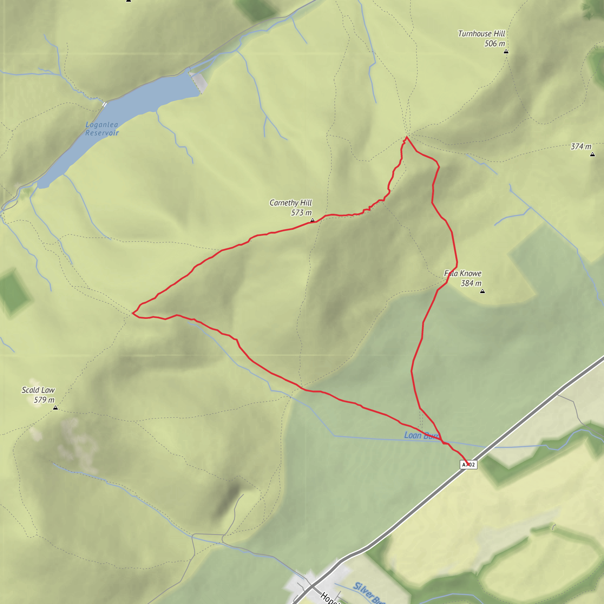
From the start, the route usually heads out on clear hill paths toward the lower shoulder of Fala Knowe. The first section is a good warm-up, crossing from the visitor area into open hillside where the landscape changes quickly from managed access paths to rougher upland ground. Even early on, there are broad views back over the eastern side of the Pentlands and, on a clear day, toward Edinburgh. Because the hills here are rounded rather than craggy, the exposure comes more from wind and weather than from technical terrain. That means waterproofs, an extra warm layer, and secure footwear matter even on a relatively short outing.
Climbing toward Fala Knowe and Carnethy Hill
Fala Knowe is not the highest point on the route, but it gives the walk an immediate sense of height and space. The ground around it can be soft in places, especially where paths braid or where water lingers after wet spells. From there, the route trends toward Carnethy Hill, one of the best-known summits in the Pentlands and the second-highest hill in the range at about 573 m / 1,880 ft. Carnethy is a prominent landmark in this part of the Regional Park and is well known among hill runners as well as walkers. (en.wikipedia.org)
The ascent to Carnethy Hill is the hardest part of the loop. On a 5 km / 3.1 mile circuit with 300 m / 984 ft of climbing, the gradient can feel sharp because most of the elevation is gained in a compact distance. The path is usually obvious in fair visibility, but mist can flatten the terrain and make junctions less intuitive than they first appear. For route-finding, HiiKER is the best tool to have ready before setting out, especially if low cloud is forecast.
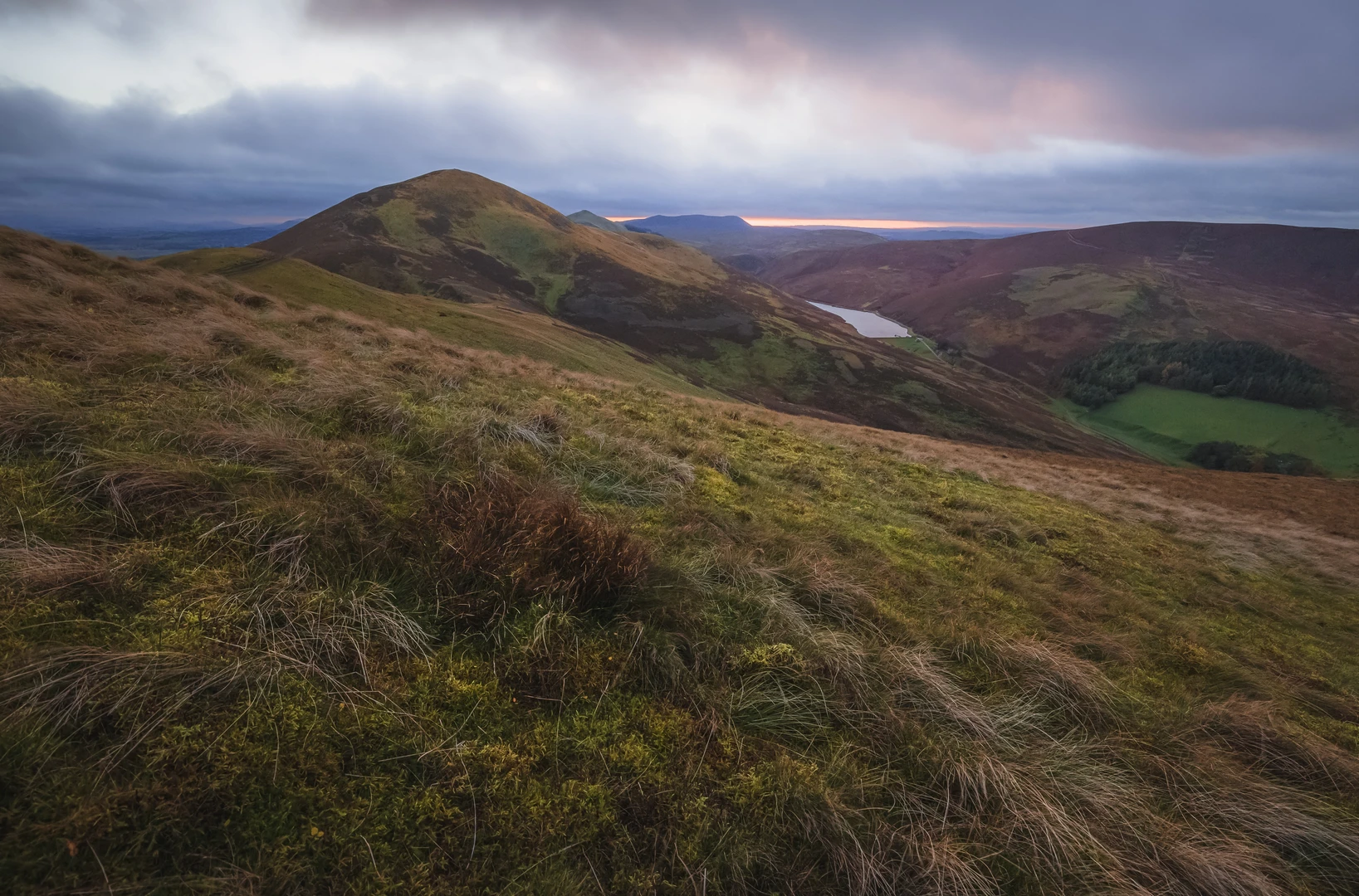
At the higher points, the reward is a wide sweep across the Pentland chain: Scald Law, Turnhouse Hill, Castlelaw Hill, and the surrounding ridges all begin to line up clearly. This is classic Pentlands scenery—rounded volcanic hills, reservoirs in the glens, and long grassy backs cut by burns and old drove-like lines. The openness also means wind can be severe. Even when conditions are calm at Flotterstone, the summit area can be dramatically colder.
Descent by Grain Burn
The return leg by Grain Burn changes the character of the walk. After the exposed upper slopes, the burn-side section feels more enclosed and quieter, with the sound of running water and softer ground underfoot. This is often the section where walkers need to watch for boggy patches, slick grass, and muddy path edges. Trekking poles can help on the descent if the ground is greasy.
Grain Burn and the nearby hollows add variety to the route’s wildlife interest. In the Pentlands, walkers commonly encounter meadow pipits, skylarks, and wheatears in open country, with raptors sometimes seen overhead. The moorland and rough grassland habitat also supports rabbits and foxes, while wetter ground near burns can attract amphibians and invertebrates. Sheep grazing is part of the working landscape, so dogs should be kept under close control where livestock are present. The Pentland Hills Regional Park describes the area as a living, working landscape rather than wilderness, and that is exactly how this route feels
Surfaces
Unknown
Dirt
Gravel
Asphalt
Comments and Reviews
User comments, reviews and discussions about the Fala Knowe, Carnethy Hill and Grain Burn Loop, Scotland.
average rating out of 5
0 rating(s)
