Download
3D Flyover
Add to list
More
14.4 km
~3 hrs 31 min
386 m
Loop
“A windswept Highland loop of quiet tracks, muddy climbs, and big skies above Strathavon.”
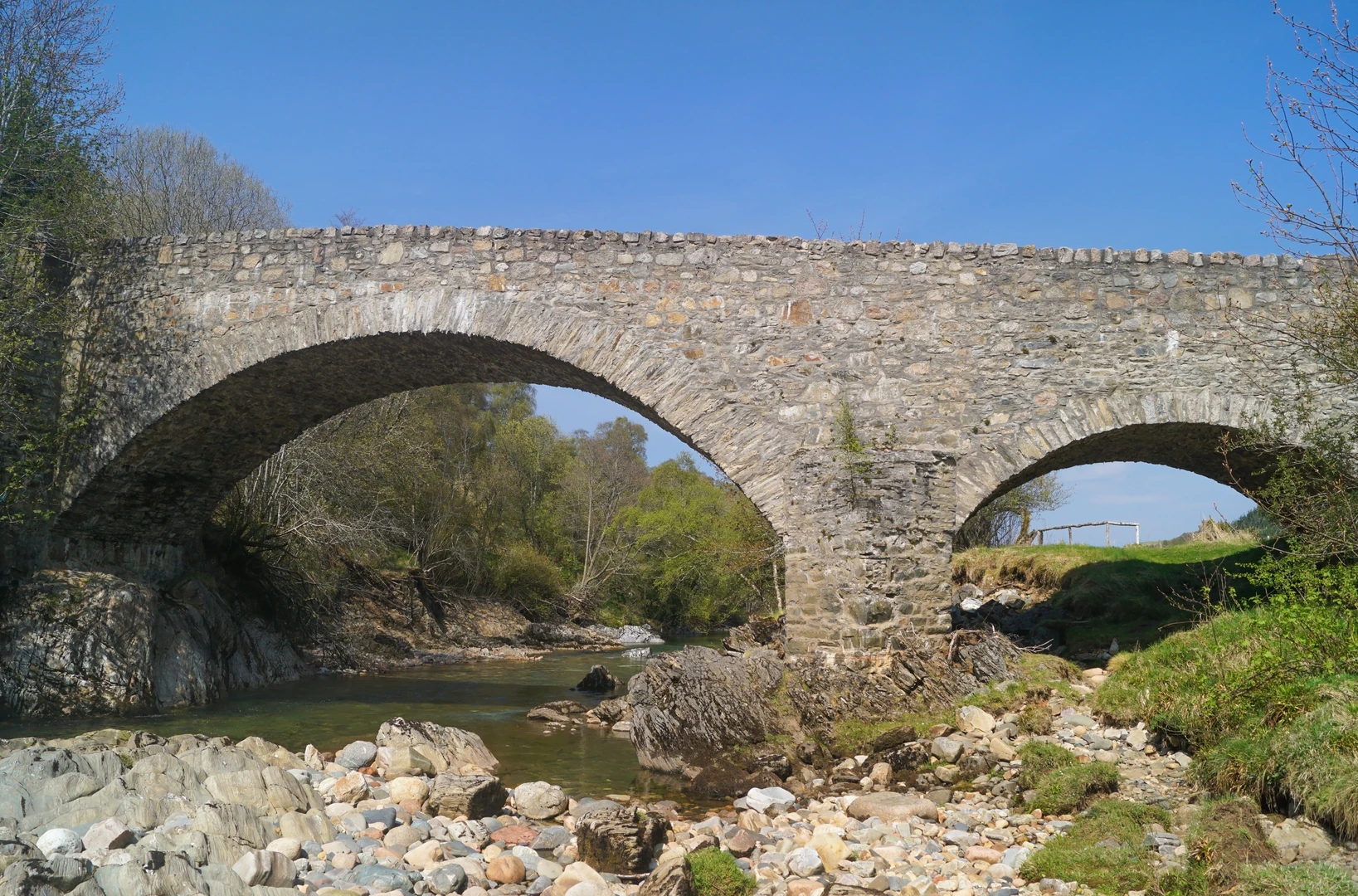
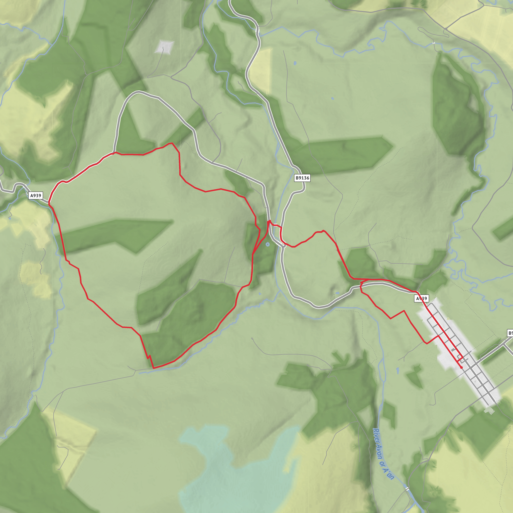
This medium-grade loop of about 14 km / 8.7 miles with roughly 400 m / 1,312 ft of ascent explores the open country and wooded slopes around Tomintoul, linking the old Bridge of Avon with higher ground around Coille Mhòr and Tom nam Marbh. Expect a route that feels bigger than its numbers suggest: there are quiet estate tracks, rough grassy paths, muddy stretches after rain, and at least one sustained climb where the elevation gain arrives in a fairly concentrated burst. The terrain is varied rather than technical, so the main challenge is fitness, footing, and being prepared for quickly changing Highland weather. Tomintoul itself sits at about 345 m / 1,132 ft above sea level and is often described as the highest village in the Highlands, so even a moderate day here can feel exposed if wind, mist, or showers move in. (morayspeyside.com)
The walk starts near Campdalmore Car Park, Tomintoul, Moray, AB37 9EX, at the north end of the village, which is the usual trail access point for the Bridge of Avon side of the local path network. If you are driving, Tomintoul is reached by the A939, the historic road running through the village; there is also village-centre parking beside the public toilets and near the square if you prefer to begin from the middle of town. By public transport, services to Tomintoul are limited, so it is worth checking current timetables before travel; recent local planning information notes bus links between Tomintoul and Dufftown, but frequencies are sparse compared with larger Highland hubs. For navigation on the day, it is sensible to load the route in HiiKER in advance because not all local paths are waymarked on the ground. (glenlivetestate.co.uk)
The opening section usually eases you out of the village on lower-level paths and tracks with broad views over Strathavon. This is a landscape of pasture, moor-edge, and scattered woodland, with the River Avon close at hand. The local path network around Tomintoul is known for viewpoints over the river, including the Victor Gaffney viewpoint, named for a local historian whose work focused on the lordship of Strathavon. Early on, the walking is often straightforward underfoot, but the ground can be wet and soft, especially where grassy paths cross hollows or shaded woodland margins. (cairngorms.co.uk)
Climbing toward Coille Mhòr and Tom nam Marbh
As the loop turns away from the easier riverside and village-edge ground, the character changes. The ascent toward Coille Mhòr and the higher shoulder near Tom nam Marbh is where the route earns its medium rating. The climb is not alpine in scale, but around 400 m / 1,312 ft of total ascent over 14 km / 8.7 miles is enough to demand steady pacing. On rougher sections, expect narrow trods, uneven grassy or earthy surfaces, and occasional muddy patches that can be slippery after prolonged rain. In windy weather, the more open upper ground can feel significantly colder than the village.
Coille Mhòr introduces a more sheltered feel, with woodland breaking up the exposure and adding texture to the route. In the Cairngorms, these woods can hold native species such as birch and juniper, and the wider Tomintoul area is also associated with red squirrel habitat on some of its lower woodland trails. Even where the forest is not dense, the transition between open moorland and woodland edge creates good habitat for birds. Keep an eye out for raptors overhead, smaller songbirds in the trees, and waders or farmland birds in the lower fields depending on season. The Cairngorms National Park also asks visitors to follow signs and keep dogs close by, especially where wildlife or livestock may be present. (cairngorms.co.uk)
From the higher parts of the loop, the reward is the sense of space. Views can open across the River Avon corridor and toward the surrounding Cairngorm hills, with Ben Avon visible from some local viewpoints near Tomintoul. In clear weather, this elevated section is often the most memorable part of the day, but in mist it can become the section where careful line-following matters most. Because some local routes are not comprehensively waymarked, this is where having the route mapped in HiiKER is especially useful.
Surfaces
Unknown
Asphalt
Grass
Comments and Reviews
User comments, reviews and discussions about the Bridge of Avon, Coille Mhor and Tom nam Marbh Loop from Tomintoul, Scotland.
average rating out of 5
0 rating(s)
