Download
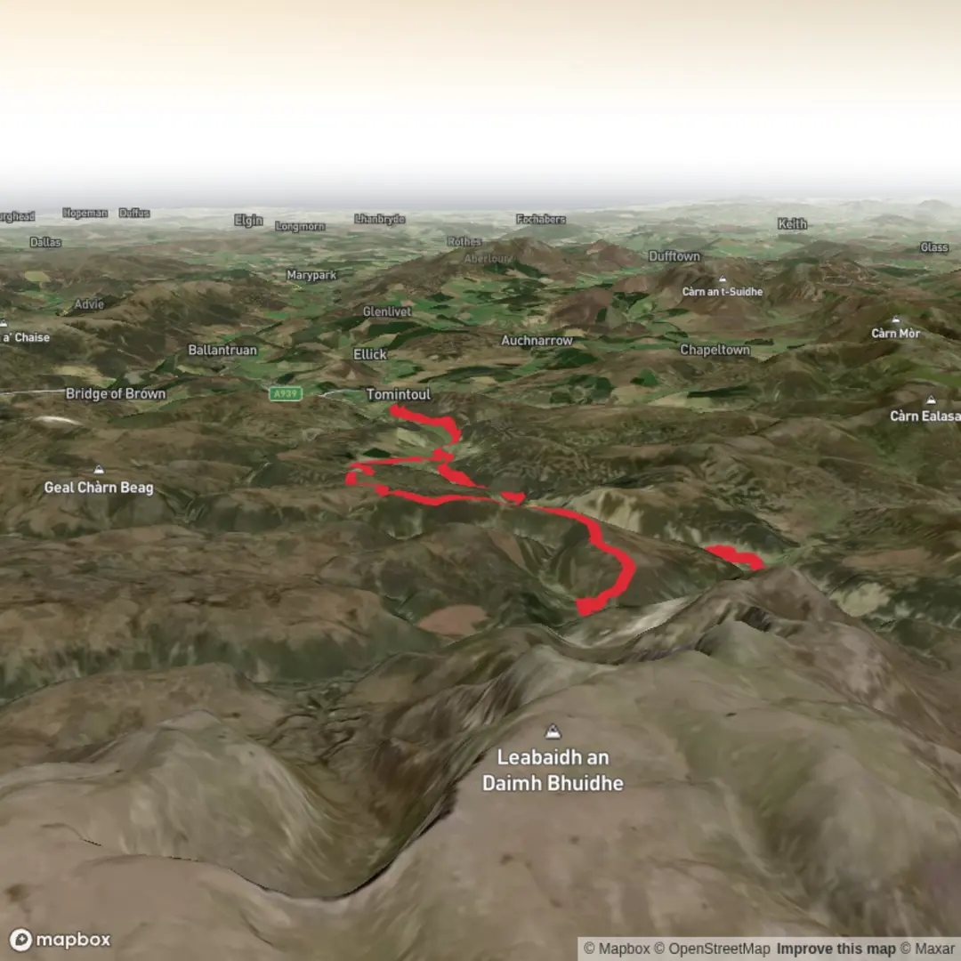
3D Flyover
Add to list
More
29.9 km
~6 hrs 55 min
572 m
Loop
“A big-hearted moorland journey of lonely glens, roaring water, and wild, pathless horizons.”
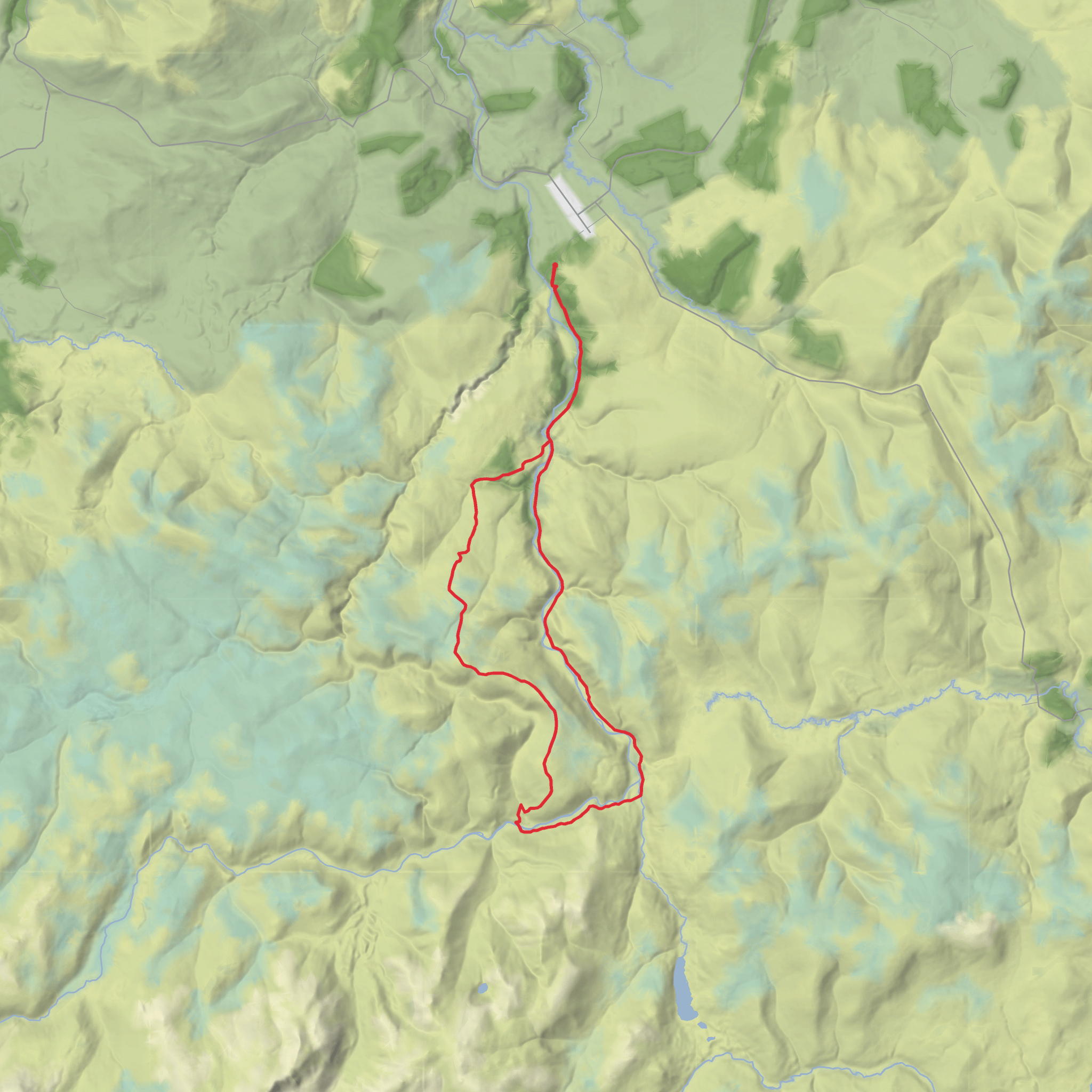
This is a long, quiet moorland circuit in upper Strath Avon, south-west of Tomintoul in the Cairngorms, covering about 30 km / 18.5 miles with roughly 600–645 metres / 1,970–2,115 feet of ascent. Although the climbing is fairly modest for the distance, the route is much more serious than an “easy” label suggests. Most of the day is on estate tracks, but there is also a pathless stretch on open moor between Drum Loin and Cnap Chaochan Aitinn, and the Burn of Loin is unbridged and can be difficult or unsafe after heavy rain. The usual start is the small parking area off the minor road south-west of Tomintoul near Queen’s View, at grid reference NJ164176, just outside the village of Tomintoul in Moray. (walkhighlands.co.uk)
The opening section is gentle and helps you settle into the scale of the day. From the parking area, the track heads into Strath Avon and quickly offers the option of a short detour to Queen’s View, a viewpoint associated with Queen Victoria’s 1860 journey through the area. From there, the route continues on broad estate tracks and private road through a glen that alternates between open strath and pockets of woodland. Early on, the walking is straightforward, with easy gradients and long sightlines, so it is a good place to check pace, layers, and navigation before the more remote middle section. (walkhighlands.co.uk)
What the route feels like on the ground
For much of the outward leg, the route follows the River Avon upstream into increasingly lonely country. The track passes places such as Birchfield, Torbain, Dalestie and Inchrory, with the glen becoming barer and more exposed as you go. Near Inchrory, the landscape shifts from settled strath to a more expansive upland estate feel, with wide views, rough grazing, heather moor, and the sense that you are moving a long way from roads and quick assistance. Walkhighlands notes that most of the route is on good tracks, which keeps the underfoot effort reasonable despite the mileage. (walkhighlands.co.uk)
One of the most striking landmarks is the Linn of Avon, where the river drops through rapids as it descends from the upper glen. This is one of the scenic highlights of the circuit and a natural pause point before the route turns toward the hills. Beyond the bridge over the main River Avon, the character changes again: the track drops to the ford over the Burn of Loin, then climbs onto Drum Loin. That ford is one of the key hazards on the route. In dry conditions it may be straightforward, but in spate it can become the crux of the day and may force a retreat or reroute. (walkhighlands.co.uk)
The climb onto Drum Loin is not especially steep by mountain standards, but after many kilometres in the legs it can feel more demanding than the numbers suggest. The estate track zig-zags uphill, opening broad views back up Strath Avon toward the main Cairngorm massif, while Ben Avon’s tors stand out prominently behind. Once the constructed track ends, the route continues along a pathless ridge of cropped heather and wetter grassy patches toward Cnap Chaochan Aitinn. This is where strong navigation matters most, especially in mist, drifting cloud, or poor light. If you are using digital navigation, plan the line carefully in HiiKER before setting out and do not rely on a single device. The terrain here is not technical, but it is easy to lose efficiency if visibility drops. (walkhighlands.co.uk)
Summits, scenery, and wildlife
Cnap Chaochan Aitinn is the high point most walkers will remember best. The summit has a small cairn along with small masts and a wind-monitoring installation, and the views can be extensive across Moray and toward Ben Rinnes. From here, the route turns onto estate tracks again, making the return leg easier to follow as it swings over Carn an t-Sleibhe and descends by Allt Bheithachan, Bailechnoic, Wester Gaulrig, and the iron bridge below Auchnahyle before rejoining the outward route.
Surfaces
Unknown
Asphalt
Comments and Reviews
User comments, reviews and discussions about the Carn an t-Sleibhe, Cnap Chaochan Aitinn, Drum Loin and Dail Neilead Loop, Scotland.
average rating out of 5
0 rating(s)
