Download
3D Flyover
Add to list
More
7.5 km
~2 hrs 21 min
511 m
Out and Back
“A short, steep surge up Ben Rinnes trades woodland edges for wild, wind-brushed Speyside panoramas.”
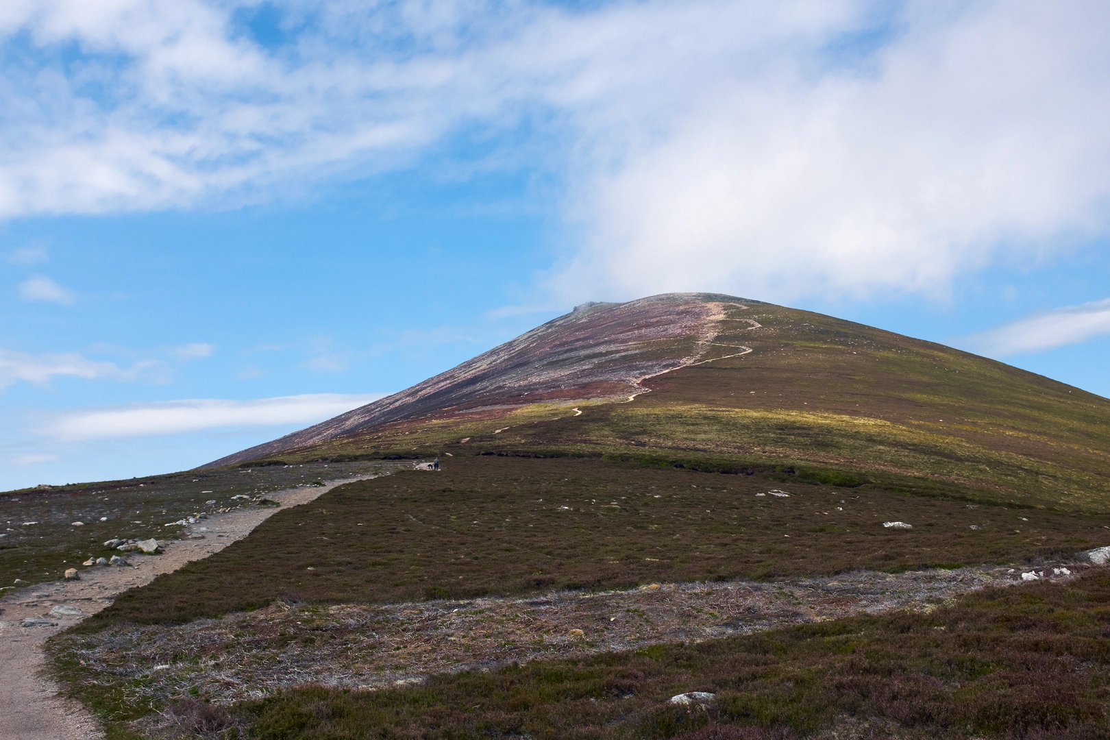
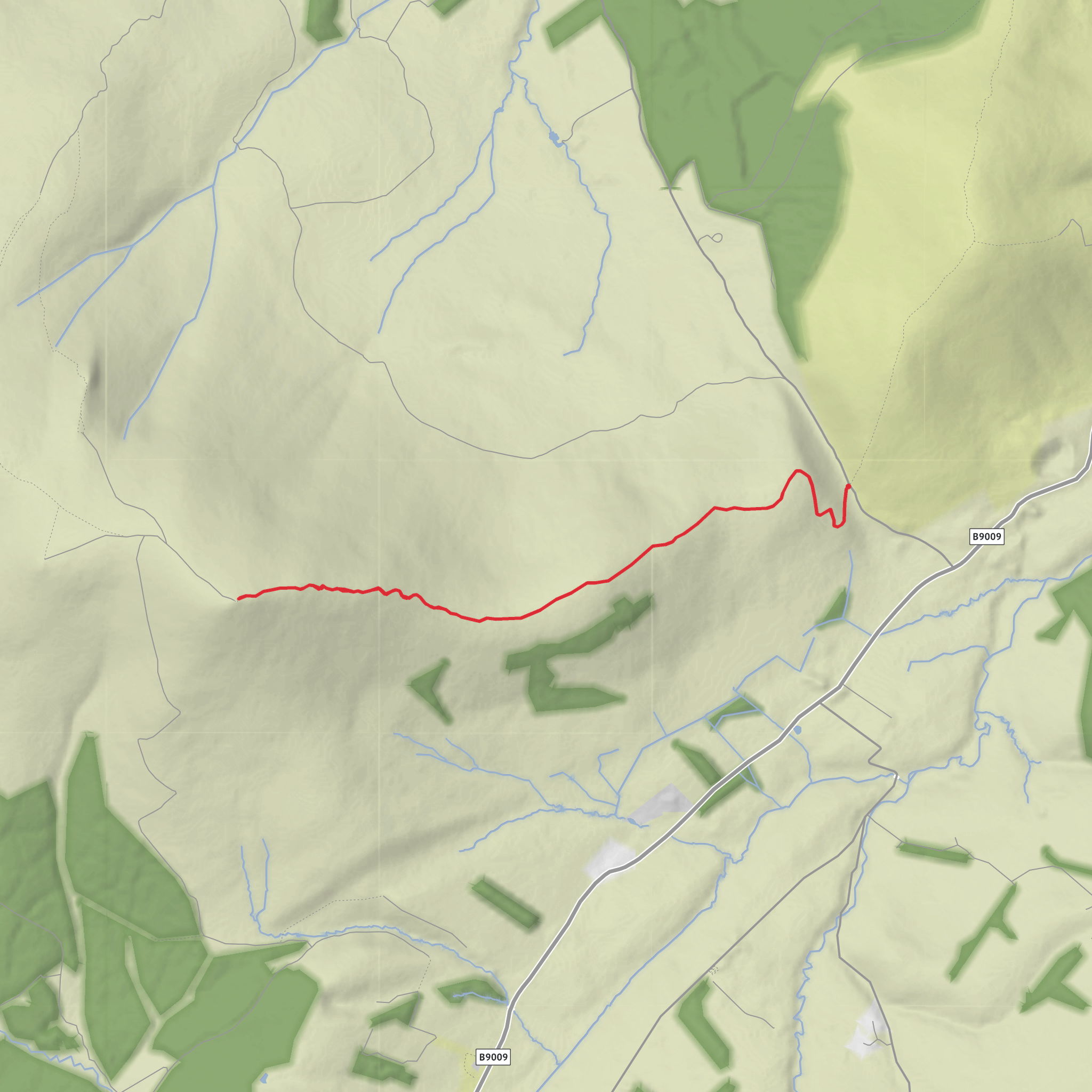
This is a short but punchy hill day on Ben Rinnes, starting from the roadside parking area at the Glack Harnes/Glack Harness col on the minor road between the A95 near Aberlour and Glen Rinnes near Dufftown, Moray, Scotland. The route is only about 7 km / 4.3 miles return, but with roughly 500 metres / 1,640 feet of ascent packed into that distance, it feels properly steep in places and earns its Difficult rating despite the modest mileage. The start is best understood as the small parking area and gate at the bealach north-east of Ben Rinnes, rather than a formal trailhead with facilities. (stevenfallon.co.uk)
From the gate, the route heads south on an estate track, climbing gently at first before steepening as it twists uphill above the edge of Benrinnes Wood. The early section is usually the most straightforward underfoot, with a clear built track that helps you settle into the ascent. As height is gained, the route trends westward toward Roy’s Hill, where the broad track gradually gives way to a narrower hill path. This is where the walk starts to feel more exposed, with fewer visual barriers and a stronger sense of the mountain’s open shoulder. (stevenfallon.co.uk)
What to expect on the climb
The route is often described as one of the most direct and obvious ways up Ben Rinnes, but that should not be mistaken for easy. The climb is sustained, and because you begin from a col already around 300 metres above sea level, the mountain rises quickly ahead of you. After Roy’s Hill, the path continues across the higher ground near Black Banks, where the terrain can feel more upland and exposed, especially in wind, low cloud, or winter conditions. The final pull to the summit is steeper again, climbing the east ridge to the broad, grassy top of Ben Rinnes at about 841 metres / 2,759 feet. (getlostmountaineering.co.uk)
Although the route is short, hikers should plan for rapidly changing weather. Ben Rinnes is a freestanding mountain and a major local landmark, so it catches wind and cloud readily. In poor visibility, the upper mountain can feel much bigger than the map suggests, and the broad summit area with rocky outcrops can make line-finding more serious on descent. If you are using navigation, plan the route carefully in HiiKER before setting out and do not rely on the lower track alone to guide you back if mist closes in. (mountaineering.scot)
Terrain, effort, and things to watch for
Expect a mix of estate track, rougher stony path, narrower upland trail, and wetter peaty ground higher up. After rain, sections around the upper slopes can be soft and boggy, and in colder months snow, ice, and corniced drifts can transform this into a much more serious mountain outing. The descent can be hard on knees because the route loses height quickly, so trekking poles are useful for many walkers. Good boots, waterproof layers, and enough insulation for summit wind are sensible even on a relatively short outing. (stevenfallon.co.uk)
One of the main hazards here is underestimating the route because of its length. Seven kilometres sounds modest, but the gradient and exposure make it more demanding than many longer low-level walks. Parking at the col can also be limited in fine weather, especially at weekends, so an early start helps. There are no obvious services at the trailhead, so bring water, food, and anything you need before leaving Aberlour or Dufftown. (stevenfallon.co.uk)
Landmarks, views, and natural interest
Ben Rinnes is known for its commanding position above Speyside, and on a clear day the summit gives wide views across Moray, the Cairngorms, and the surrounding glens. The mountain is noted as the highest freestanding mountain in Moray and is a well-known Corbett, which adds to its popularity with Scottish hillwalkers. The route’s progression from the wooded lower edge to open moor and summit ridge gives a strong sense of moving through distinct landscape zones in a short distance. (morayways.org.uk)
Wildlife can vary with season, but this upland ground and the wider Moray hills support typical moorland and mountain species. Bird records for the Ben Rinnes area include notable upland birds, and the surrounding landscape of heather, rough grassland, peat, and con
Surfaces
Unknown
Gravel
Comments and Reviews
User comments, reviews and discussions about the Roy's Hill and Ben Rinnes from Glack Harnes, Scotland.
average rating out of 5
0 rating(s)
