Download
3D Flyover
Add to list
More
9.7 km
~2 hrs 20 min
236 m
Loop
“A wild Hebridean loop of peat, lochans, and breezy tops that feels bigger than it looks.”
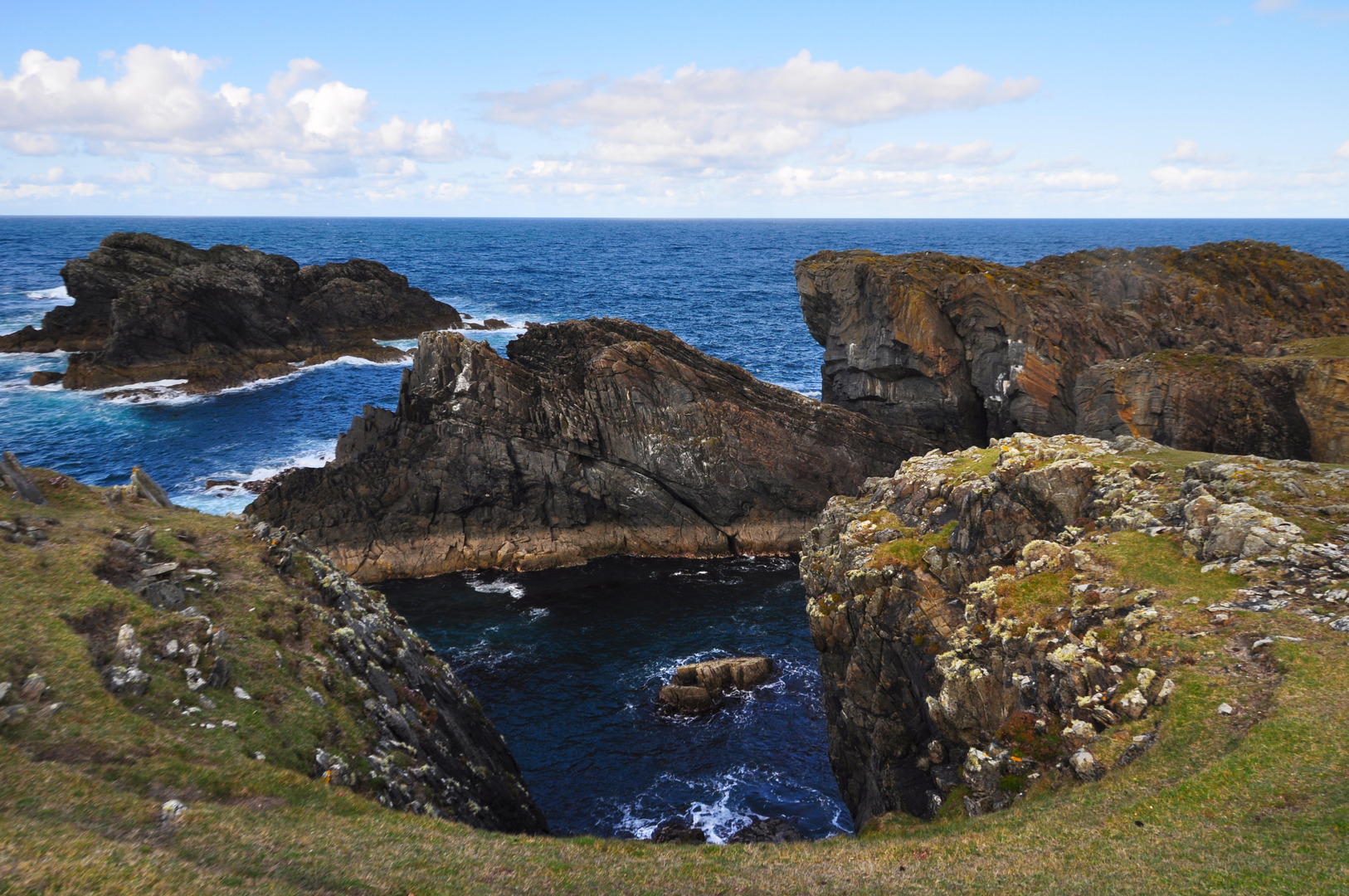
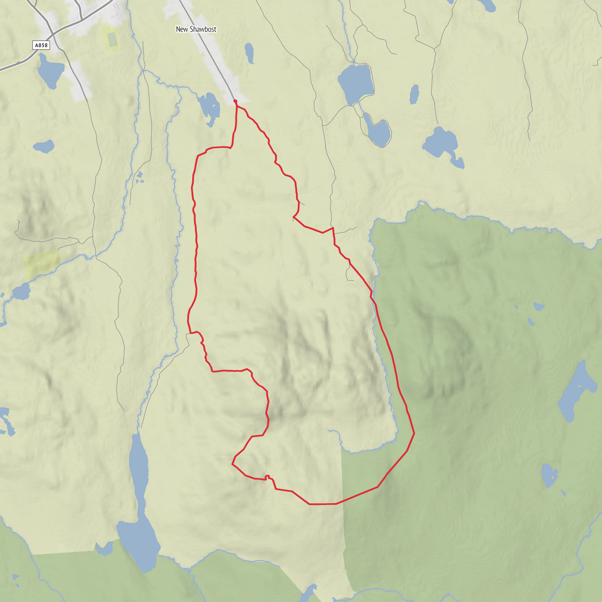
This 10 km / 6.2 mile loop on the Isle of Lewis is a moorland hillwalk with a very distinctive Outer Hebrides character: broad open ground, peat underfoot, scattered lochans, and a chain of low summits that feel much bigger than their modest height. With around 200 m / 656 ft of ascent, it sits comfortably in the medium category, not because of steep climbing throughout, but because the terrain can be wet, pathless in places, and exposed to wind and mist. The route is associated with the Shawbost area on Lewis’s west side, and the nearest practical landmark for the start is New Shawbost / Pàirc Shiaboist, near Shawbost School, Isle of Lewis, HS2 area, a few miles inland from Shawbost village and roughly 20 miles / 32 km west of Stornoway. (en.wikipedia.org)
The outing links Beinn Bhragair, Beinn Rathacleit, Beinn Feusag, and the return through Gleann an t-Srath, creating a rounded circuit over central Lewis moorland rather than a single out-and-back hill climb. Beinn Bhragair itself rises to 261 m / 856 ft and is one of the more recognizable inland hills on this part of Lewis, standing above the flatter peatlands and giving wide views toward the Atlantic side, inland lochs, and the broader West Side landscape. Beinn Rathacleit lies close by, around 0.9 km / 0.6 mile from Beinn Bhragair, which helps explain why these tops combine naturally into one loop. (mudandroutes.com)
The opening section is usually the most straightforward. From the New Shawbost side, the route begins on easier ground, using old access tracks or rough vehicle road remnants across the moor before the hillier ground begins. Around Beinn Bhragair there is a known surfaced approach road, now closed to normal traffic, which makes the first part less demanding than the map alone might suggest. That easier start can be deceptive, though: once beyond the track, the route becomes rougher, wetter, and more dependent on good line choice across grass, peat, and heather. (sobt.co.uk)
Terrain and what to expect
Expect a mixture of old track, faint trods, open moor, and boggy linking ground between the tops. The climbing is never especially high or alpine in feel, but the route’s challenge comes from soft peat, waterlogged patches, and exposure. After rain, sections can become slow going, and even in drier spells the ground may still hold water. The ascent onto Beinn Bhragair is the sharpest single climb of the day, while the rest of the loop tends to undulate more gently between rounded high points and shallow glens. (sobt.co.uk)
Because this is Lewis moorland, visibility matters. In clear weather the navigation is relatively manageable across broad landforms, but in low cloud the hills and glens can blend into one another, and the many lochans and peat hags can make direct travel awkward. Hikers should plan carefully and carry reliable navigation, with HiiKER useful for mapping and route planning before setting out. Wind can also be a bigger factor than the elevation suggests, especially on the exposed tops and saddles.
Comments and Reviews
User comments, reviews and discussions about the Beinn Bhragair, Beinn Rathacleit, Beinn Feusag and Gleann an t-Srath Loop, Scotland.
average rating out of 5
0 rating(s)
