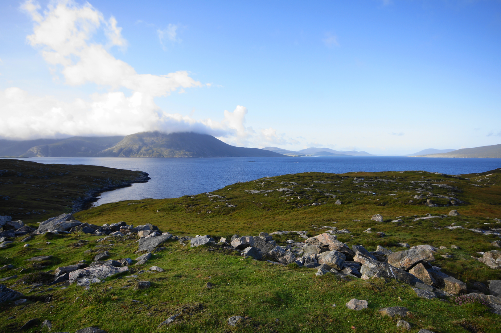
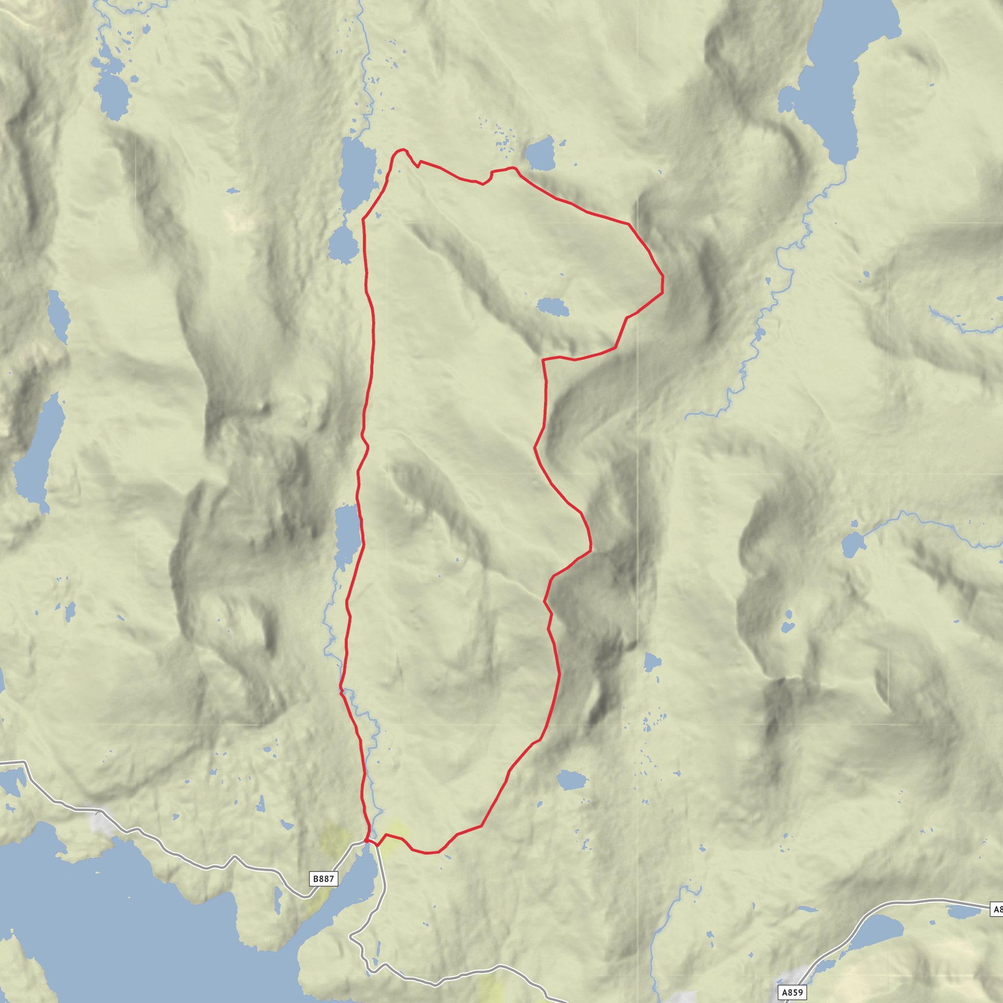
Loch Scourst, Loch Bhoisimid, Stulabha, Uisgneabhal Mor and Braigh an Fhais Loop
Download
3D Flyover
Add to list
More
19.7 km
~5 hrs 38 min
1024 m
Loop
“A wild North Harris circuit of rocky ridges, sweeping sea views, and a punishing boggy finale.”
This is a long, serious hill day in North Harris, covering roughly 20 km / 12.5 miles with about 1,000 m / 3,280 ft of ascent, though some route descriptions for the same mountain group put the total closer to 1,100 m / 3,609 ft depending on the exact line taken. The route begins near Gleann Mhiabhaig (Glen Meavaig), Meavaig, Isle of Harris, HS3 3AW, at the parking area on the B887 Huisinis road by the track used for the North Harris Eagle Observatory. That start point is commonly given at grid reference NB100062–NB101063, which places it near the signed glen entrance rather than in a village center. (walkhighlands.co.uk)
The character of the walk changes constantly. It starts with a relatively straightforward approach on a good estate track up Gleann Mhiabhaig, then turns into rough, pathless mountain terrain with steep climbs, boulder fields, wet moorland, and a notoriously boggy final descent across Braigh an Fhais. Although the difficulty is often estimated as medium, that rating only makes sense for hikers who are already comfortable with off-path navigation, steep ground, and long exposed days in changeable Hebridean weather. Walkers should expect the route to feel harder than the raw numbers suggest because the terrain is slow and often wet underfoot. (walkhighlands.co.uk)
Getting to the start is simplest by car. From Tarbert, follow the B887 toward Huisinis and continue to the parking area at the foot of Glen Meavaig, beside the track leading inland. Public transport is possible but limited: route information for this area notes a bus service between Tarbert and Huisinish, which can be used to reach the B887 start area, but schedules in the Outer Hebrides can be sparse and seasonal, so it is wise to check current times before committing to the walk. (walkhighlands.co.uk)
What the route feels like on the ground
The opening section is the easiest going of the day. The track up Gleann Mhiabhaig allows a steady warm-up while the mountains ahead gradually reveal themselves. One of the first major visual features is Sròn Scourst, whose rocky buttresses dominate the glen and give the approach a dramatic, almost fortress-like feel. This early stretch is useful for settling into pace, checking wind strength, and deciding whether the higher ridges are likely to be clear enough for a full circuit. (walkhighlands.co.uk)
From the glen, the route steepens toward Stulabha (often rendered Stulabhal/Stuabhal). The climb becomes much more rugged, with rough ground and a final rocky pull over large blocks. This is where the walk starts to demand concentration: hands may be useful for balance, especially in wet conditions, and progress slows noticeably. The summit area gives a strong sense of the remoteness of North Harris, with lochans, ridges, and broken rock stretching in several directions. (walkhighlands.co.uk)
After Stulabha, the traverse toward Uisgneabhal Mòr is not especially long in straight-line distance, but it is more strenuous than it looks. The descent to the bealach loses height on steep slopes, and the re-ascent involves boulders before easing onto more open ground. Uisgneabhal Mòr is one of the major summits of Harris and is widely noted as the second-highest mountain in the Outer Hebrides, reaching about 729 m / 2,392 ft. From here, in clear weather, the views open dramatically toward the west coast of South Harris, with beaches, sea lochs, and offshore islands adding scale to the mountain setting. (walkhighlands.co.uk)
The later part of the loop trends south and then back across Braigh an Fhais, where the terrain becomes less obviously mountainous but often more awkward. This is the section many hikers underestimate. The ridge can begin pleasantly enough,
Surfaces
Unknown
Gravel
Asphalt
Comments and Reviews
User comments, reviews and discussions about the Loch Scourst, Loch Bhoisimid, Stulabha, Uisgneabhal Mor and Braigh an Fhais Loop, Scotland.
average rating out of 5
0 rating(s)
