Download
3D Flyover
Add to list
More
15.1 km
~3 hrs 9 min
83 m
Point-to-Point
“From castle-fringed loch to wave-brushed shore, this gentle Arran wander feels wild and windswept.”
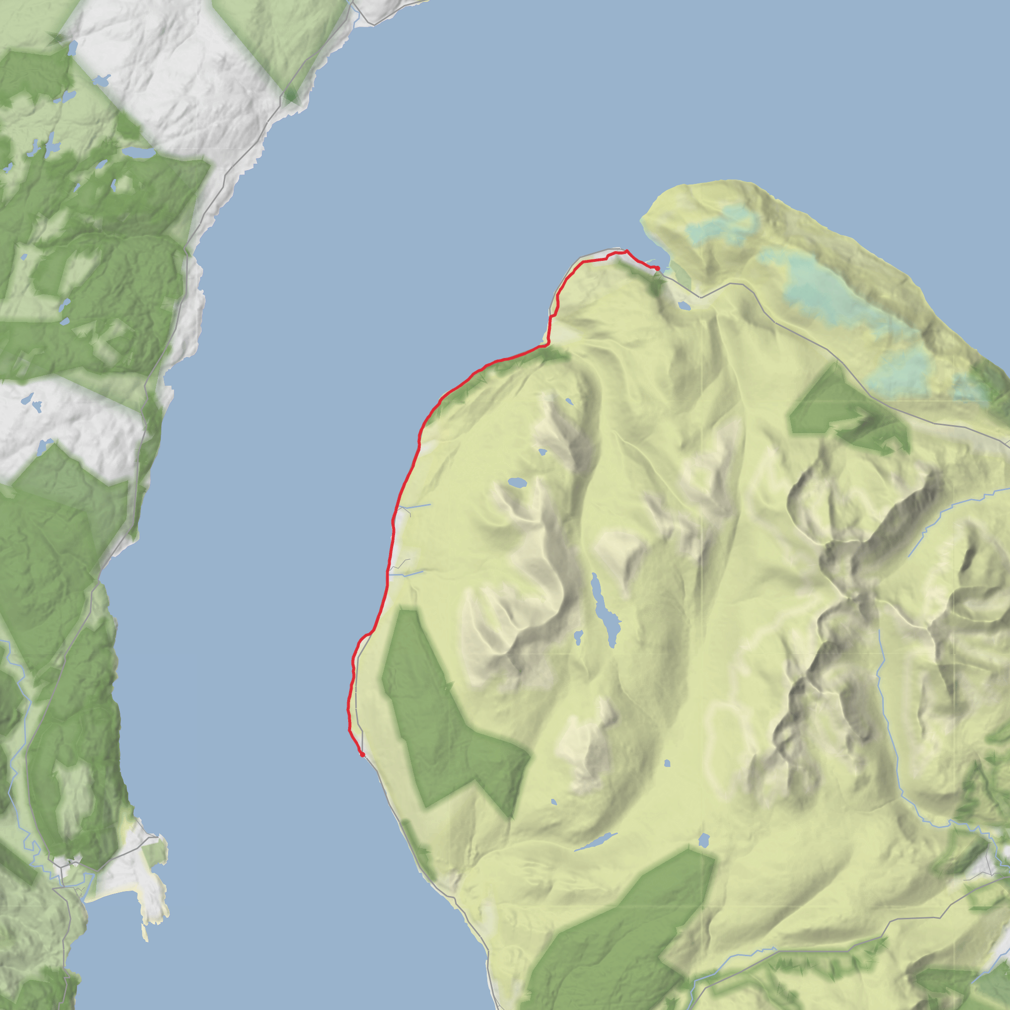
This easy coastal stage links Lochranza with Imachar on the north-west side of the Isle of Arran, covering about 15 km / 9.3 miles with only around 100–150 m / 330–490 ft of total ascent, depending on exactly where you start and finish. It is a long but generally gentle outing, with the main demands coming from distance, occasional rough shoreline walking, and exposure to wind off the Kilbrannan Sound rather than from steep climbing. The route is widely known as part of the Arran Coastal Way, beginning near Lochranza Ferry Terminal and Lochranza Castle, Lochranza, Isle of Arran KA27 8HL, then heading south-west past Catacol Bay, around Rubha Glas, and onward to Imachar on the A841. (walkhighlands.co.uk)
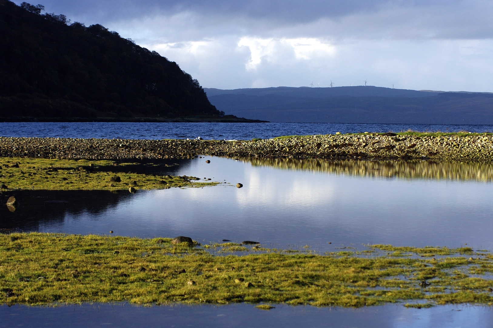
From the start, the walk leaves Lochranza with excellent views across the loch, where the ruined Lochranza Castle stands close to the shore. This part of Arran feels distinctly Highland in character, with a mix of sea loch, birch woodland, open moor-fringe, and broad coastal panoramas. Early on, the route uses the old path above the road between Lochranza and Catacol, a much more attractive line than simply following tarmac, and one that gives a better sense of the older foot connections between the island’s scattered settlements. (walkhighlands.co.uk)
Terrain and what to expect
The first section from Lochranza to Catacol is the most straightforward for many walkers: a clear path and track line, moderate gradients, and frequent sea views. Although the elevation gain is small overall, there are short undulations as the path rises above the road and drops again. In wet weather, some sections can be muddy or slick underfoot, especially where roots, leaf litter, or damp grass cover the path. (walkhighlands.co.uk)
At around 5 km / 3.1 miles, you reach Catacol, a small coastal village at the mouth of Glen Catacol, where the Abhainn Mhòr comes down to the sea. Catacol Bay is a shallow, rocky and shingly curve of coast, with open views westward and a strong sense of space at low tide. This is a good place to pause, check timing, and assess conditions before continuing, especially if wind and spray are building along the shore. (en.wikipedia.org)
Beyond Catacol, the character changes. The route trends south-west toward Rubha Glas and Imachar Point, mixing quieter road walking with more rugged coastal ground. Near Imachar Point, the path can become fainter and more uneven, with rocky sections that require a bit more care than the easy rating might suggest. In dry, calm weather this is usually manageable for regular walkers, but in wet or windy conditions the shoreline can feel more serious, particularly where rock shelves are slippery or waves are pushing in. (komoot.com)
Landmarks, scenery, and wildlife
One of the strengths of this walk is the constant variety in a relatively low-level route. Lochranza itself is one of Arran’s most scenic settlements, framed by hills and backed by a sea loch. The castle ruins are among the most memorable historic landmarks on the island’s north end, and the setting gives the opening miles a strong sense of place. (walkhighlands.co.uk)
Catacol Bay is notable for its broad coastal outlook and for the transition it marks between the sheltered feel of Lochranza and the more open western shore. The village of Catacol is also known for its traditional settlement pattern and its position below the steep-sided glen. South of here, the coast becomes quieter and more elemental, with rocky points, sea-worn edges, and long views across the water toward Kintyre. (en.wikipedia.org)
Wildlife can be one of the highlights. This stretch of coast may reward walkers with sightings of seabirds, waders, and possibly gulls, cormorants, or oystercatchers along the shore; in the surrounding countryside, Arran is also well known for red deer. Marine views are expansive, so it is worth scanning the water as well as the cliffs and shoreline. As with much of Scotland’s west coast, midges can be an issue in still, damp conditions, especially around sheltered vegetation. The rougher grassy and heathery margins also call for normal tick awareness. These are sensible precautions rather than unusual hazards. The best way to stay on line through the quieter sections is to have the route loaded in HiiKER before setting out.
Surfaces
Unknown
Asphalt
Unpaved
Gravel
Comments and Reviews
User comments, reviews and discussions about the Loch Ranza to Imachar via Catacol Bay, Rubha Glas and Imachar Point, Scotland.
average rating out of 5
0 rating(s)
