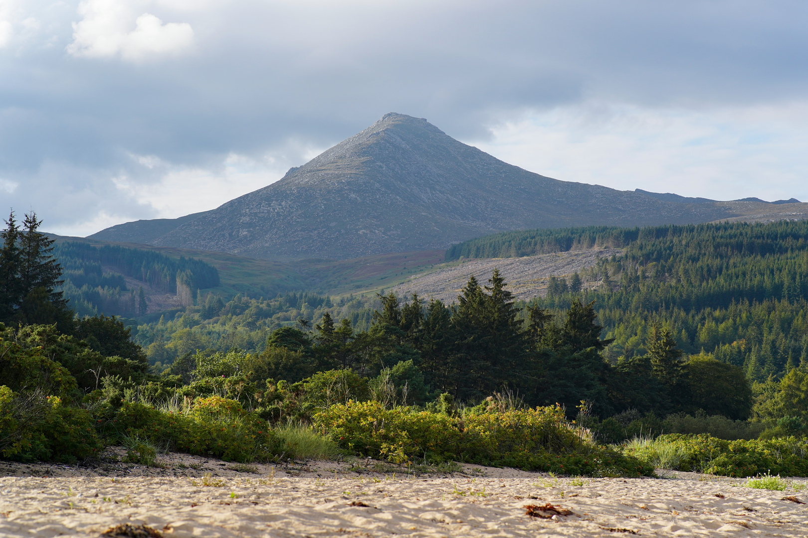
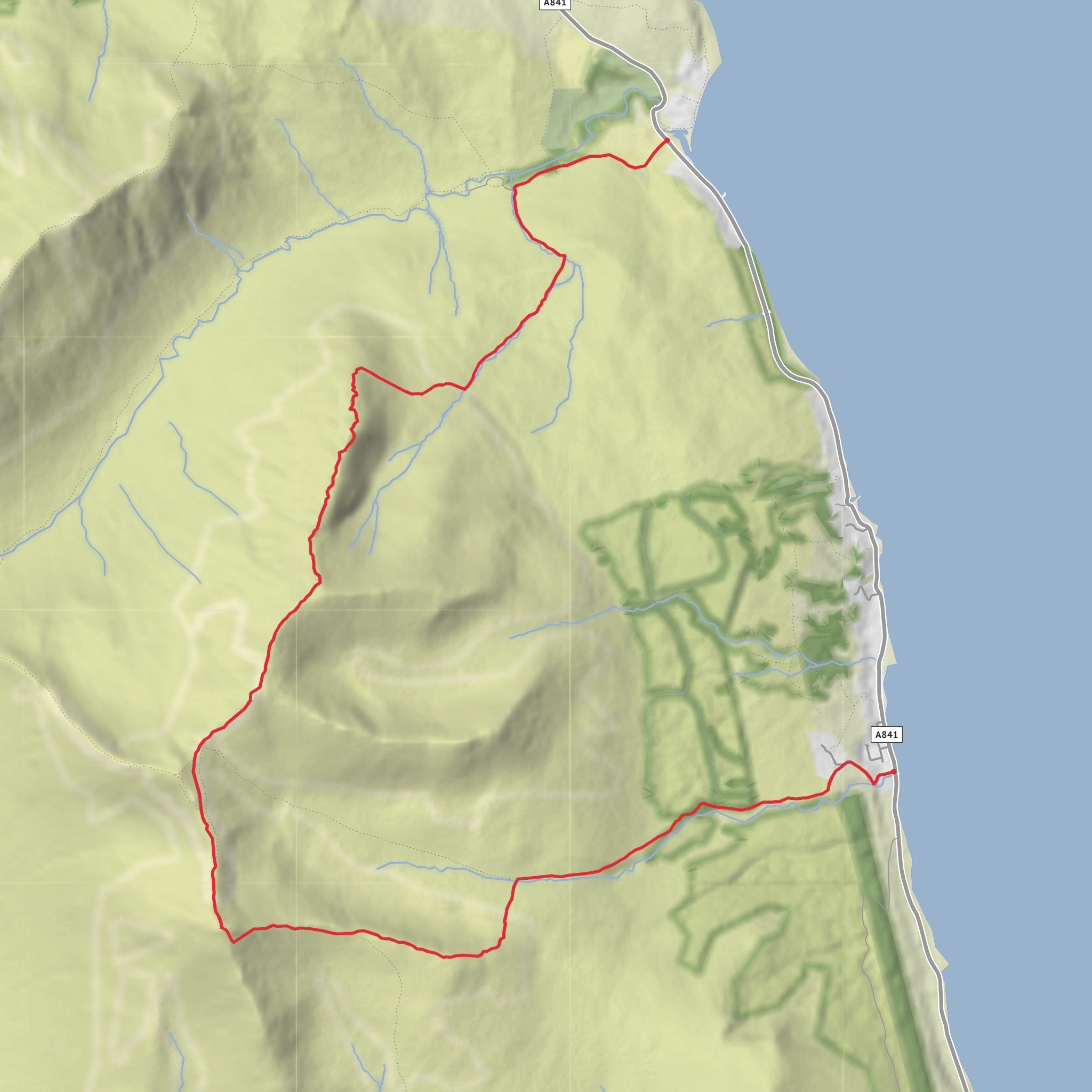
Sannox Bay to Corrieburn Bridge via Cioch na h-Oighe, Mullach Buidhe, Goatfell and Meall Breach
Download
3D Flyover
Add to list
More
10.5 km
~3 hrs 39 min
932 m
Point-to-Point
“A wild Arran traverse: sea-framed beginnings, airy ridges, and a hard-earned finish for prepared hikers.”
This is a serious mountain traverse on northern Arran: about 10 km / 6.2 miles with roughly 900 m / 2,950 ft of ascent, linking the coast at Sannox Bay with the high ridge over Cioch na h-Oighe, Mullach Buidhe, Goatfell and Meall Breach before dropping to Corrieburn Bridge near Corrie. Although the distance is not especially long, the combination of steep climbing, rough ground, exposure on the ridge, and a sustained descent makes it a difficult outing that suits experienced, well-prepared hikers. The route begins near the signed parking area by the Sannox Burn bridge on the north side of Sannox, close to Corrie Golf Club and the A841, and finishes near Corrieburn Bridge on the coast road by Corrie. (walkhighlands.co.uk)
The opening section is comparatively gentle, heading inland from Sannox Bay into Glen Sannox. Early on, the walking is easier and gives you time to settle in, with sea views behind and the dramatic mountain wall ahead. Around 2.2 km / 1.4 miles from the start, at roughly 240 m / 790 ft elevation, the route leaves the glen path and branches right toward the lower slopes of Cioch na h-Oighe. This turn is important: paths here can be faint and braided across the moor, so careful line-finding matters, especially in mist. HiiKER is the navigation tool to have ready before leaving the clearer glen track. (walkhighlands.co.uk)
The climb to Cioch na h-Oighe
From the glen, the character changes quickly. The ascent steepens onto the ridge of Cioch na h-Oighe, a striking rocky feature sometimes regarded as one of the finest approaches to Goatfell. This is where the hike earns its difficult rating. The ground can be loose, the path intermittent, and the ridge can feel exposed in places, particularly for anyone uncomfortable with airy terrain. In wet or windy weather, this section becomes much more serious. (walkhighlands.co.uk)
As height is gained, the views widen dramatically over Glen Sannox, the Firth of Clyde, and the broken northern Arran ridges. The ridge then leads onward to Mullach Buidhe, around 829 m / 2,720 ft, where the terrain opens out slightly before continuing toward North Goatfell and the main summit. This middle section is a high, rugged mountain journey rather than a simple summit path, and progress can be slower than the map suggests. (walkhighlands.co.uk)
Goatfell and the descent toward Corrie
Goatfell, the highest point on Arran at 874 m / 2,867 ft, is the major landmark of the day and one of the island’s best-known summits. From Mullach Buidhe the route continues over North Goatfell and then to the main top, where the panorama can include Holy Isle, Brodick Bay, the Ayrshire coast, and—on very clear days—far wider western seascapes. Because Goatfell is a popular mountain from the Brodick side, you may meet more walkers here than on the quieter ridge approach from Sannox. (walkhighlands.co.uk)
The descent continues over Meall Breach toward Corrie rather than taking the busier tourist path toward Brodick. This is an important distinction, because the shoulder path toward Corrie is rougher and less forgiving. Tired legs will notice the steepness, and in poor visibility it is easy to drift onto the wrong descent line. The lower slopes eventually lead toward Corrieburn Bridge, near the village of Corrie on the A841. (walkhighlands.co.uk)
Terrain, hazards, and preparation
Expect a mix of coastal approach, glen path, boggier or pathless moorland, steep mountain trail, rocky ridge, and a long rough descent. The route is best treated as a mountain day rather than a short hike. Strong wind, low cloud, and rain can transform the upper ridge into a much more committing undertaking. The Cioch na h-Oighe section is the key crux: exposure, route-finding, and slippery rock are the main concerns. (walkhighlands.co.uk)
Good boots with reliable grip are advisable, and extra layers are essential even in fair weather because the ridge is exposed. Allow more time than the distance alone suggests. If cloud drops over the tops, navigation becomes much harder across the broad linking sections between the named summits and on the descent shoulder. HiiKER should be checked in advance, with the route downloaded for offline use.
Surfaces
Ground
Unknown
Grass
Gravel
Asphalt
Comments and Reviews
User comments, reviews and discussions about the Sannox Bay to Corrieburn Bridge via Cioch na h-Oighe, Mullach Buidhe, Goatfell and Meall Breach, Scotland.
average rating out of 5
0 rating(s)
