Download
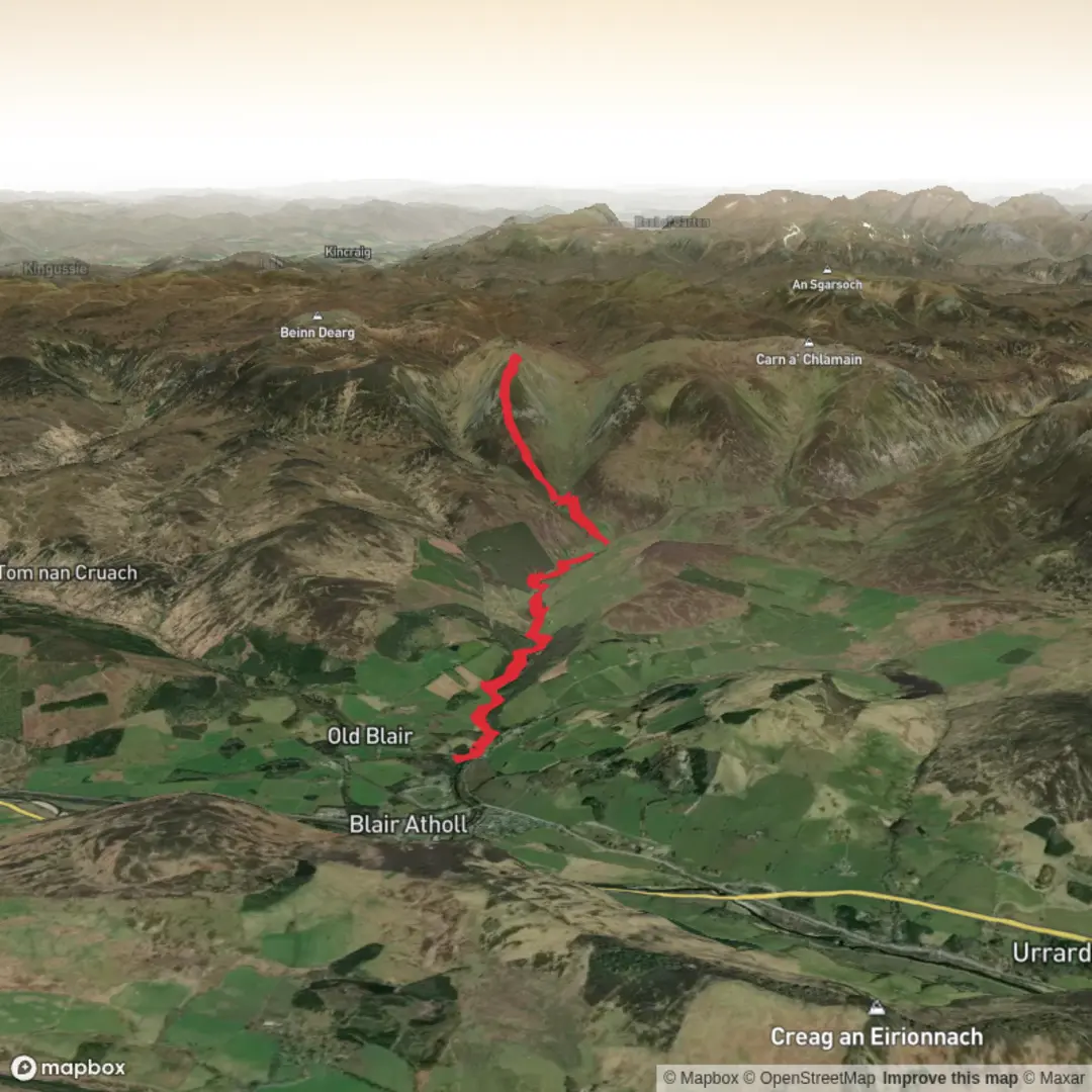
3D Flyover
Add to list
More
21.6 km
~5 hrs 46 min
880 m
Out and Back
“A quiet, characterful circuit blending storied glen scenery with a steeper, more committing summit finish.”
This 22 km / 13.7 mile circuit to Beinn Mheadhonach from Glen Tilt is a long, quiet hill day with a gentle estate-track approach, a much steeper upper mountain section, and a return that mixes glen walking with a useful variation through woodland. Although the overall difficulty sits around medium, it feels closer to medium-hard if the ground is wet, if visibility is poor on the upper slopes, or if you are not used to sustained days of 7 to 8 hours with roughly 900 to 975 metres / 2,950 to 3,200 feet of ascent. The usual start is the Old Bridge of Tilt car park near Blair Atholl, Perthshire, just outside the village and a short walk from Blair Atholl railway station. (thegreatoutdoorsmag.com)
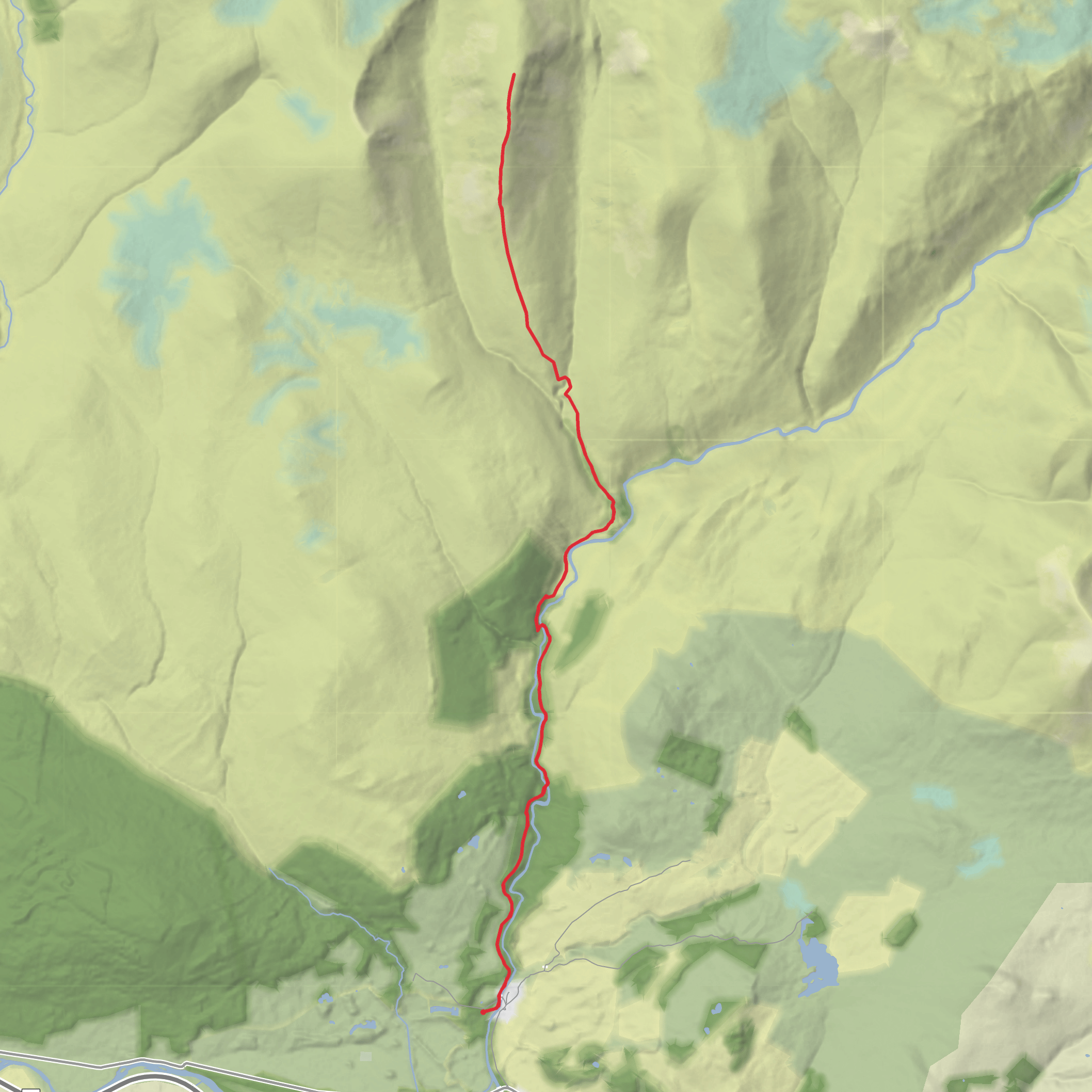
The route begins on good paths and estate tracks heading into Glen Tilt, so the first few kilometres are relatively straightforward and allow a steady warm-up. From the car park, the track works through woodland and open pasture before reaching Cumhann-leum Bridge at about 2.5 km / 1.6 miles. After another 1.8 km / 1.1 miles, the route reaches Gilberts Bridge, where the character of the walk starts to change. Up to this point, navigation is usually simple in clear weather, but it is still worth having the route loaded in HiiKER, especially for the later turn-offs and the upper mountain section where paths become faint. (walkhighlands.co.uk)
Through Glen Tilt
After crossing Gilberts Bridge to the west side of the River Tilt, the route continues north on a track that passes ruins at Ach Mhairc Bhig and then enters more open ground around Sean-bhaile Wood, where scattered birch and rough pasture give this middle section a very different feel from the forestry lower down. This is one of the most attractive parts of the outing: broad glen views, river scenery, old bridges, and a strong sense that this was once a more populated working landscape. The small Ach-mhairc Bridge is a notable landmark, and beyond it lie the remains of Ach Mhairc Mhòir, a cleared township where substantial ruins still survive. One modern route description notes that as many as 27 buildings once stood here and that the community was cleared around 1850. (thegreatoutdoorsmag.com)
Historically, Glen Tilt is far more than just an approach valley. It formed part of an old route linking Deeside and places farther north with markets to the south, and it was also the setting for a well-known 19th-century access dispute when the Duke of Atholl tried to exclude visiting botanists in 1847. Access was later upheld through the efforts of the Scottish Rights of Way Society, which gives the glen an important place in the story of public access in Scotland. (blairatholl.org.uk)
The glen also has major geological significance. Around Gilberts Bridge, the River Tilt exposes a nationally important section through the Boundary Slide, a major tectonic junction within the Dalradian rocks of the Grampians. This has been studied by geologists for well over a century, so even hikers with only a passing interest in landscape history are moving through terrain that is scientifically important as well as scenic. (cairngorms.co.uk)
The Climb to Beinn Mheadhonach
From the Ach Mhairc area, the route leaves the main glen and heads into Gleann Mhairc, following a path above the ravine before descending to New Bridge, another old stone bridge in a striking setting. This is roughly the point where the easy walking ends. Beyond New Bridge, the climb steepens sharply onto the broad shoulder of Beinn Mheadhonach. The ascent from here to the summit is about 3.5 km / 2.2 miles with around 570 metres / 1,870 feet of climbing, mostly on heathery, grassy, and sometimes vague ground. (thegreatoutdoorsmag.com)
This upper section is where hikers should be most prepared. The path can fade, especially through heather, and in poor visibility the broad shoulder and false tops can make line-finding less obvious than it first appears. There are several false summits before the high point, and the
Surfaces
Unknown
Grass
Gravel
Dirt
Ground
Comments and Reviews
User comments, reviews and discussions about the Gilberts Bridge and Beinn Mheadhonach from Glen Tilt, Scotland.
average rating out of 5
0 rating(s)
