Download
Preview
Add to list
More
6.6 km
~1 hrs 38 min
196 m
Loop
“Woodland paths, widening views, and ancient ramparts make Moncreiffe Hill feel richer than its modest scale.”
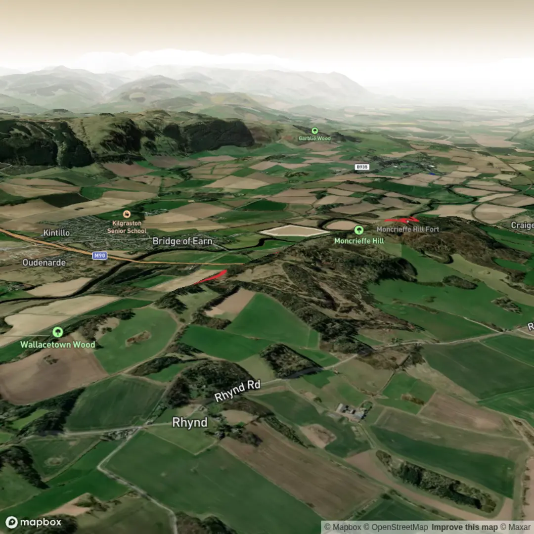
This medium-grade woodland loop on Moncreiffe Hill gives a varied outing of around 7 km / 4.3 miles with roughly 200 m / 656 ft of climbing, making it a good choice for hikers who want a steady half-day walk with a mix of forest tracks, short climbs, open viewpoints, and a strong sense of local history. The hill rises just south of Perth on the land between the Rivers Tay and Earn, and even though the route is not especially long, it packs in broad views, archaeological interest, and enough undulation to feel like a proper hike rather than a simple woodland stroll. (visitscotland.com)
The usual start for the longer loop is the southern Moncreiffe Hill woods parking area near Easter Moncreiffe, reached from the minor road east of the A912 just north of Bridge of Earn; Walkhighlands identifies this as the main start for the fuller circular route and gives the start grid reference as NO153192. That places the trailhead near Easter Moncreiffe, southeast of Bridge of Earn and a short drive south of Perth. If you are navigating digitally, HiiKER is the best tool to use for checking the loop shape, junctions, and your position on the hill’s network of woodland paths. (walkhighlands.co.uk)
By car, the simplest approach is from Perth or Bridge of Earn, following the local road on the south side of the hill toward Easter Moncreiffe and then turning onto the signed access track to the woods parking area. Walkhighlands notes that there are two car parks for Moncreiffe Hill, and this southern one is the preferred start for the more satisfying circular outing. (walkhighlands.co.uk)
For public transport, access is less direct. Walkhighlands states there is no public transport right to the start, and that the trailhead is about 3 km / 1.9 miles from Bridge of Earn along a minor road. In practice, that means the most realistic public-transport plan is to travel to Perth, continue to Bridge of Earn by local bus or taxi, and then walk the road section to the southern start. Hikers relying on buses should allow extra time at the beginning and end of the day. (walkhighlands.co.uk)
What the route feels like
The early part of the loop is generally on broad woodland tracks through mixed forest, so the walking begins easily and gives you time to settle in before the steeper sections. The terrain is usually straightforward underfoot, but Walkhighlands notes that paths can be muddy in places, especially after wet weather, so waterproof footwear is a sensible choice even on a relatively short outing. (walkhighlands.co.uk)
As the route develops, the track trends deeper into the woods and begins to climb more noticeably. One of the appealing things about Moncreiffe Hill is that the ascent is broken up by changes in scenery: glimpses across farmland toward the Ochils, denser conifer sections, occasional benches at viewpoints, and a small pond passed on the climb. This keeps the route interesting and makes the elevation gain feel gradual rather than relentless. (walkhighlands.co.uk)
Near the upper slopes, the paths become more obviously hill-like, with a stronger sense of height and more frequent openings in the trees. The final approach to Moredun Top, the summit area of Moncreiffe Hill, is worth pacing steadily. Walkhighlands specifically advises avoiding the most eroded direct line and instead using the gentler path that curves around the hill to gain the top more comfortably. (walkhighlands.co.uk)
Landmarks, views, and historical significance
The standout landmark on the route is the summit fort at Moredun Top. The hill is not just a scenic viewpoint but an important archaeological site: the summit is encircled by the remains of an Iron Age fort, and the Atlas of Hillforts records degraded ramparts around the summit with entrances on the west and east. Excavation has revealed structural details, occupation evidence, and finds including pottery and small artefacts. (hillforts.arch.ox.ac.uk)
VisitScotland notes that Moncreiffe Hill contains two Iron Age hill forts, and that this commanding position would have allowed ancient communities to watch movement by land and water. The hill’s location between the Tay and Earn explains its strategic value: it overlooks a natural corridor near Perth and would have been an excellent defensive and lookout position in prehistoric and early historic times.

Surfaces
Unknown
Grass
Comments and Reviews
User comments, reviews and discussions about the Moncreiffe Hill and Fort Loop, Scotland.
average rating out of 5
0 rating(s)