Download
3D Flyover
Add to list
More
2.8 km
~35 min
20 m
Loop
“A tranquil Liddel Water loop blends birdsong, Border history, and easy village-edge wandering near Newcastleton.”
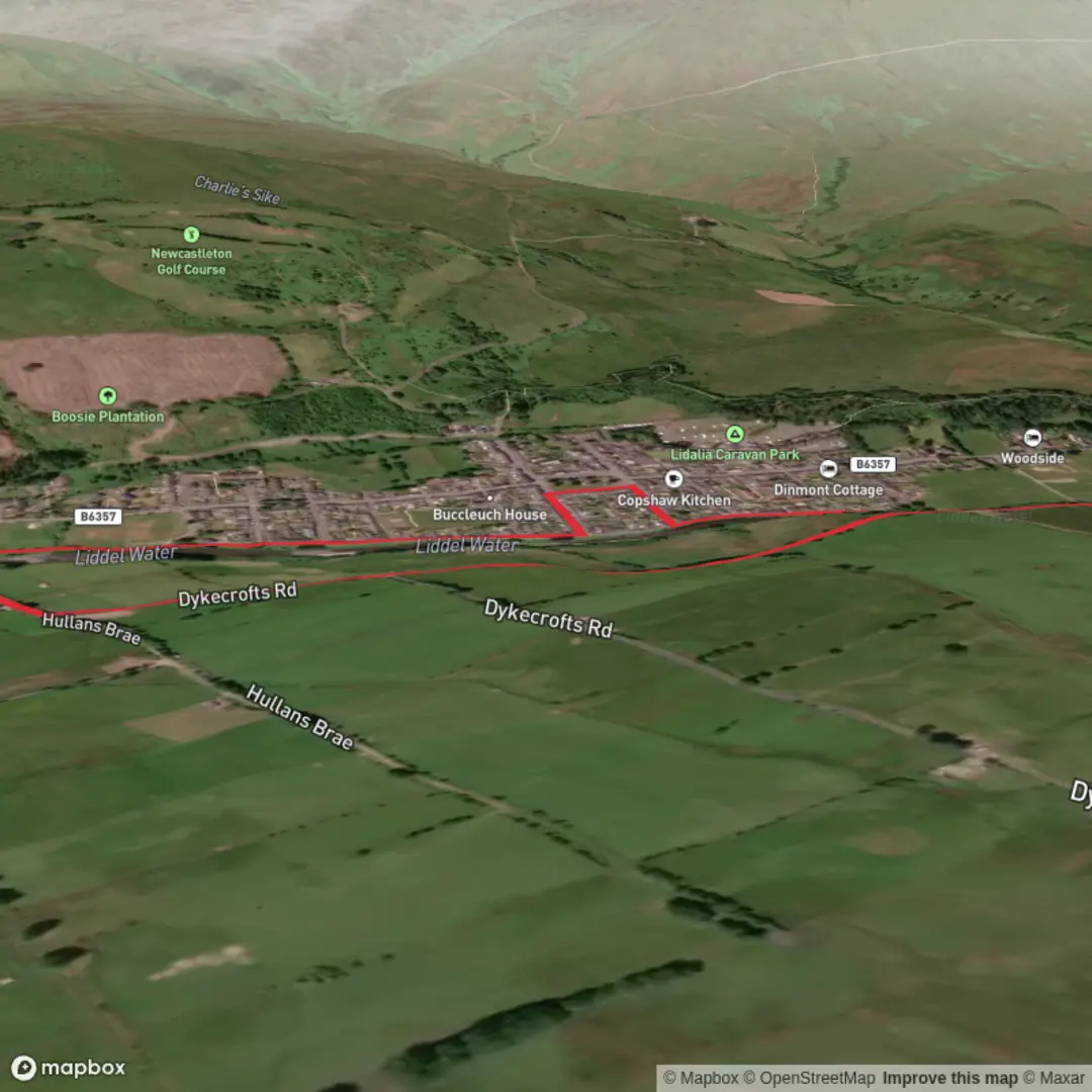
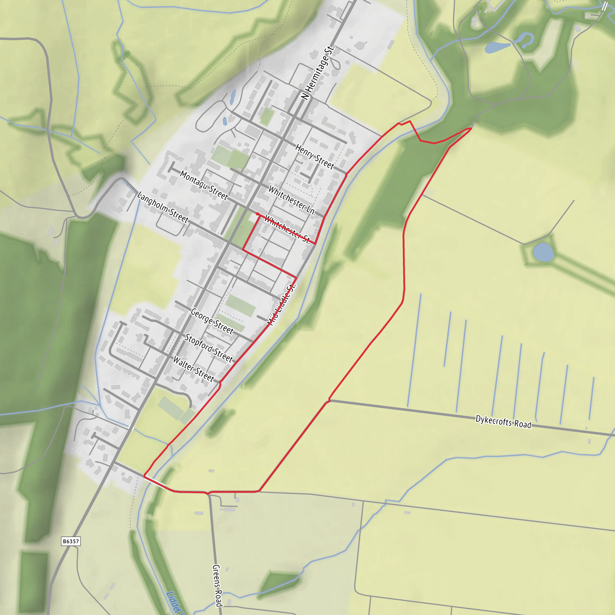
This easy riverside circuit is a short, level walk of about 3 km / 2 miles with virtually no climbing, making it well suited to families, casual walkers, and anyone looking for a gentle outing close to the village. The route starts and finishes at Douglas Square, Newcastleton, Scottish Borders, which is the nearest clear landmark and practical trailhead for this loop. From there, the walk heads down toward the Liddel Water, crosses Whithaugh Bridge, and returns by Holm Bridge, linking riverbank path, quiet road, and village-edge scenery. (scotborders.gov.uk)
The terrain is generally straightforward: mostly hard-surfaced or well-made paths with some pavement and short road sections, and the overall elevation gain is effectively flat at around 0 m / 0 ft. Even so, sturdy walking shoes are still a good idea, especially after wet weather when edges of paths or grassy verges can be slick. One point to note is that Whithaugh Bridge is a multi-use bridge also used by cyclists, so it is worth keeping left, staying aware of others, and supervising children as you cross. (scotborders.gov.uk)
What to expect on the route
From Douglas Square, the route drops gently to the riverside and follows the Liddel Water, one of the defining landscape features of Newcastleton. Early on, the walk passes Whithaugh Pool, once known locally as a favourite bathing place, which adds a small but memorable historical touch to an otherwise peaceful village walk. The river is the constant companion here, and this is the kind of route where the appeal comes from quiet water, open views, and the changing character of the banks rather than dramatic ascent or rugged terrain. (scotborders.gov.uk)
As the path continues, there are good views both upstream and downstream, especially from Whithaugh Bridge, where it is worth pausing for a moment. Near the bridge there are picnic tables, making this one of the best stopping points on the loop. The setting is open and relaxed, with the river corridor creating a natural wildlife strip through the village edge. (scotborders.gov.uk)
After crossing Whithaugh Bridge, the route rises only slightly to meet the road, then continues on a quiet section toward Holm Bridge. This part of the walk gives a different perspective, shifting from riverside path to a more open village-fringe approach before the return leg. The loop remains uncomplicated, but carrying the route on HiiKER is still useful for confirming junctions and keeping the circuit tidy if you are unfamiliar with Newcastleton.
Landmarks, wildlife, and local character
This is a rewarding walk for birdwatchers despite its short length. The riverside is noted for species such as dipper, pied wagtail, oystercatcher, and heron, all of which are associated with clean water and open banks. Depending on season and time of day, walkers may also notice smaller songbirds in the hedgerows and trees near the village edge. The river itself is the main habitat feature, so moving quietly and scanning the waterline can be more rewarding than simply pressing on. (scotborders.gov.uk)
The walk also carries a strong sense of local Borders history. Across the river lie the lands of Whithaugh, associated with the Armstrong family during the era of the Border Reivers, when this region was shaped by clan loyalties, raiding, and shifting control along the Anglo-Scottish frontier. That background gives the landscape more depth than its gentle appearance first suggests: this quiet riverside was once part of a far more turbulent border country. (scotborders.gov.uk)
The bridges themselves add another historical layer. Whithaugh Bridge is comparatively modern, built in 2014 through a partnership between the local community and public agencies, and it also serves as a link toward the 7stanes cycling network and Priesthaugh Forest trails. Holm Bridge, by contrast, dates to 1823, so the loop neatly combines a modern access bridge with an older crossing that reflects the long-established movement routes around Newcastleton. (scotborders.gov.uk)
Getting to the start
For drivers, the simplest approach is to head for Douglas Square, Newcastleton, TD9, which serves as the practical start point for the walk and has parking available in the village. Scottish Borders Council’s local walking information also identifies Douglas Square as the start/finish and parking point for Newcastleton riverside walks. If you are approaching the wider Whithaugh Park area from the north by
Surfaces
Unknown
Asphalt
Unpaved
Concrete
Comments and Reviews
User comments, reviews and discussions about the Whithaugh Bridge and Holm Bridge Loop Walk, Scotland.
average rating out of 5
0 rating(s)
