Download
3D Flyover
Add to list
More
112.4 km
~5 days
1487 m
Multi-Day
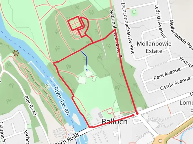
The Antonine Trail is a 112.4 km trail that starts in , West Dunbartonshire, Scotland. Based on our data, the hike is graded as Easy. For information on how we grade trails, please read measuring the difficulty of a hiking trail on hiiker. Also, check our latest community posts for trail updates. This hike can be completed in approx 4 days. Caution is advised on trail times as this depends on multiple variables. For more info read about how we calculate hike time.

What to expect?
Activity types
Frequently asked questions
How long does it take to walk the Antonine Trail in Scotland?
The Antonine Trail is 112.42 km long, so most hikers split it over about 4 to 6 days depending on pace and stopovers. With 1,487 m of total ascent and an easy overall rating, it is more of a steady multi-day route than a highly strenuous mountain trek.
Where does the Antonine Trail start and finish?
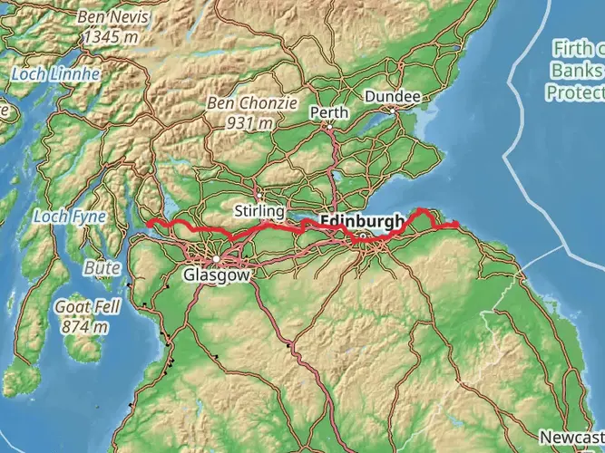
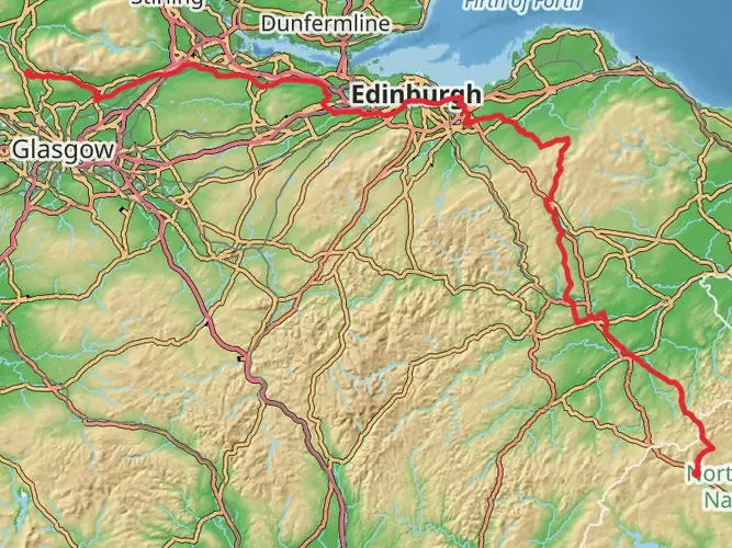
The Antonine Trail follows the line of the Antonine Wall across central Scotland, running from Old Kilpatrick on the River Clyde to Bridgeness near Bo'ness on the Firth of Forth. The Roman frontier itself is about 60 km long, but the walking route is longer at 112.42 km because it links accessible paths and urban sections along the way.
Is the Antonine Trail an easy long-distance walk?
The Antonine Trail is graded easy, which makes it one of the more approachable long-distance walks in Scotland. Even so, 112.42 km and 1,487 m of climbing still add up over several days, so the route suits walkers prepared for sustained mileage rather than steep technical terrain.
Can the Antonine Trail be done as a weekend hike?
The full Antonine Trail is usually too long for a single weekend unless the plan is to cover very long days. At 112.42 km, a more realistic approach is to walk a shorter section over two days or allow 4 to 6 days for the complete route from Old Kilpatrick to Bridgeness.
Is the Antonine Trail dog friendly?
The Antonine Trail can generally be walked with a dog because Scotland's outdoor access rules allow responsible access on most land, including many paths used by the route. Dogs need close control around livestock, farmland, and busy urban stretches, and some short sections near heritage sites or local parks may have additional on-site restrictions.
Can the Antonine Trail be reached by public transport?
Public transport access is practical at the western end because Old Kilpatrick is served by Kilpatrick railway station on the ScotRail network. The route also passes through populated parts of central Scotland, which makes it easier than many long-distance trails to break into sections and connect with rail or bus links along the way.
What is there to see on the Antonine Trail besides the walk itself?
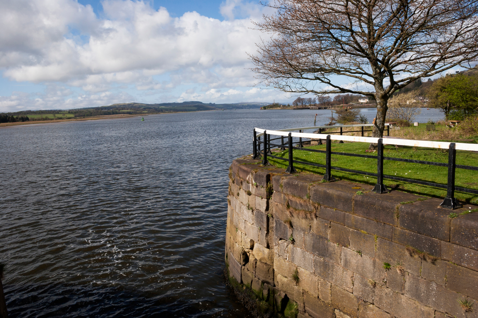
The Antonine Trail follows the Antonine Wall, the northern frontier of the Roman Empire in Britain and part of the Frontiers of the Roman Empire World Heritage Site. Along the route, walkers encounter places tied to the wall's history, including Old Kilpatrick, Rough Castle near Falkirk, and the eastern end at Bridgeness near Bo'ness.
Comments and Reviews
User comments, reviews and discussions about the Antonine Trail, Scotland.
4.57
average rating out of 5
21 rating(s)