Download
3D Flyover
Add to list
More
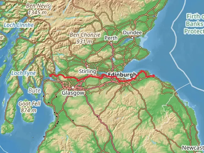
54.1 km
~3 days
1458 m
Multi-Day
“The Three Lochs Way is a scenic 54-km Scottish hike, weaving through history and natural beauty.”
The Three Lochs Way is a captivating trail that meanders through the picturesque landscapes of West Dunbartonshire, Scotland. Spanning approximately 54 kilometers (about 33.5 miles) with an elevation gain of around 1400 meters (approximately 4593 feet), this point-to-point trail offers a medium difficulty rating, making it accessible to hikers with a reasonable level of fitness.
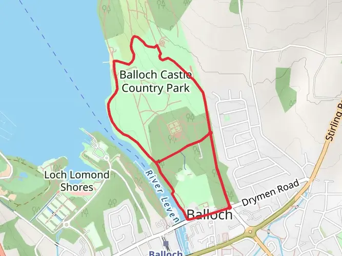
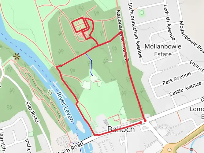
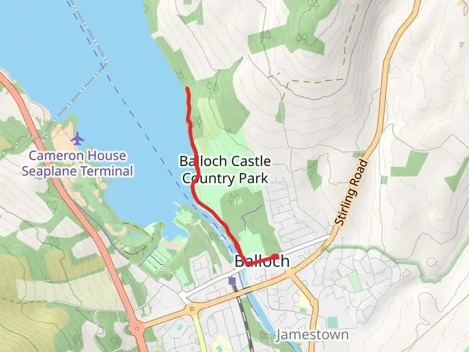
Starting the Journey The trailhead is conveniently located near the town of Balloch, which is easily accessible by public transport or car. For those opting for public transport, Balloch can be reached by train from Glasgow's Queen Street Station, a journey that takes around 50 minutes. Upon arrival in Balloch, the trailhead is a short walk from the station. If driving, Balloch is situated at the southern end of Loch Lomond, and there are parking facilities available for those starting their hike from this point.
Navigating the Trail As you embark on the Three Lochs Way, it's advisable to use a reliable navigation tool like HiiKER to keep track of your progress and ensure you're following the correct path. The trail is well-marked, but having a digital map can be invaluable, especially in areas where the trail may be less distinct.
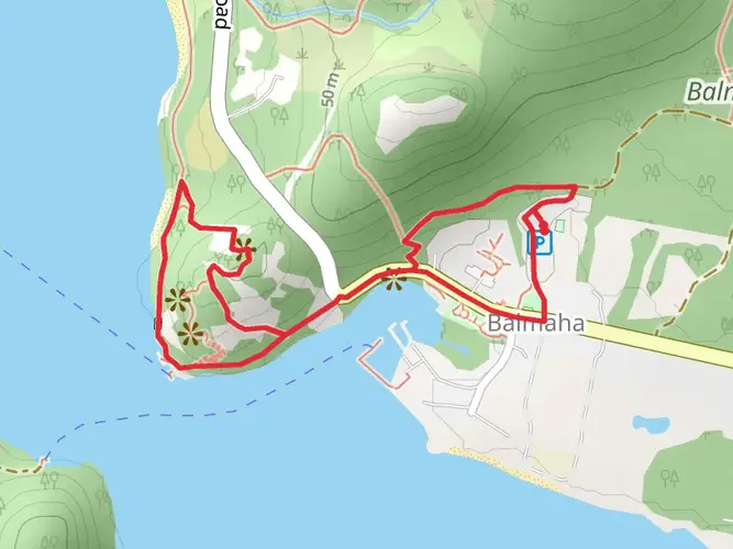
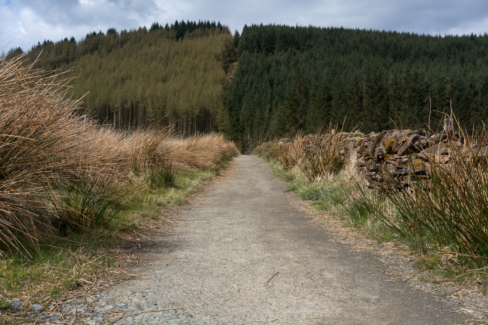
Landmarks and Scenery The trail earns its name from the three lochs that it skirts: Loch Lomond, Gare Loch, and Loch Long. Each of these lochs presents its own unique beauty and offers stunning views that are a highlight for many hikers. The path will take you through a variety of landscapes, including rolling hills, serene woodland, and open moorland.
Historical Significance The region is steeped in history, with the trail passing close to the historic town of Helensburgh, which is known for its connection to the inventor of the steamship, Henry Bell. Additionally, the trail offers views of the Faslane Naval Base on Gare Loch, a site of significant military importance.
Wildlife and Nature The area is rich in wildlife, and if you're lucky, you may spot red deer, birds of prey, and a variety of woodland creatures. The trail also passes through areas of significant natural beauty, including the Glen Fruin, where you can enjoy the tranquility of the Scottish countryside.
Preparing for the Hike Given the trail's length and elevation gain, it's important to be well-prepared with appropriate clothing, footwear, and supplies. The Scottish weather can be unpredictable, so waterproof gear and layers are recommended. Ensure you have enough food and water for the journey, as well as a first aid kit for emergencies.
Completing the Trail The Three Lochs Way concludes near the town of Inveruglas on Loch Lomond, where you can find transport links back to Balloch or onward to Glasgow. The final section of the trail offers a rewarding view of the Arrochar Alps, providing a fitting end to a memorable hike.

What to expect?
Activity types
Frequently asked questions
How long does it take to hike the Three Lochs Way from Balloch to Inveruglas?
The Three Lochs Way is 54.13 km long and is commonly walked in 3 to 4 days. The route runs point-to-point from Balloch to Inveruglas, with well-known overnight break options around Helensburgh, Garelochhead, and Arrochar depending on pace and accommodation plans.
Where does the Three Lochs Way start and finish in Scotland?
The Three Lochs Way starts in Balloch at the southern end of Loch Lomond and finishes at Inveruglas on the western shore of Loch Lomond. Along the way it links the three named lochs that give the trail its name: Loch Lomond, the Gare Loch, and Loch Long.
Is the Three Lochs Way easy to follow and waymarked?
The Three Lochs Way is a waymarked long-distance route and is generally considered straightforward to follow. It is recognized as one of Scotland’s Great Trails, and the route is commonly described as easy to navigate between Balloch, Helensburgh, Garelochhead, Arrochar, and Inveruglas.
Can the Three Lochs Way be done by public transport?
Yes. Balloch has a railway station, and the route is known for having strong public transport access at several points. Balloch, Helensburgh, Garelochhead, and Arrochar all have rail connections, while Inveruglas is served by bus rather than a train station, which makes end-to-end planning realistic without a car.
How hard is the Three Lochs Way and how much climbing is there?
The Three Lochs Way is rated easy overall, but it still covers 54.13 km with 1,458 m of elevation gain, so it is not flat. The route suits walkers with reasonable fitness who are comfortable with a multi-day trail and a mix of lochside sections, moorland, and hillier ground between communities.
What lochs and landmarks do you see on the Three Lochs Way?
The route is built around views of Loch Lomond, the Gare Loch, and Loch Long. It also passes through Helensburgh, where the trail crosses the John Muir Way, and the wider route is associated with landmarks such as Charles Rennie Mackintosh’s Hill House and the historic Glen Fruin area.
Can you camp on the Three Lochs Way?
Camping is possible on sections of the Three Lochs Way, but the route passes through Loch Lomond and The Trossachs National Park where camping byelaws apply in some areas. Around places such as Inveruglas and parts of the wider park, camping may be limited to designated areas or require a permit during the main season, so overnight plans need to match the local rules.
Comments and Reviews
User comments, reviews and discussions about the Three Lochs Way, Scotland.
4.6
average rating out of 5
30 rating(s)