Download
3D Flyover
Add to list
More
3.3 km
~40 min
6 m
Loop
“Wig Bay blends shifting sands, seabirds, and wartime echoes into a calm, wind-brushed coastal wander.”
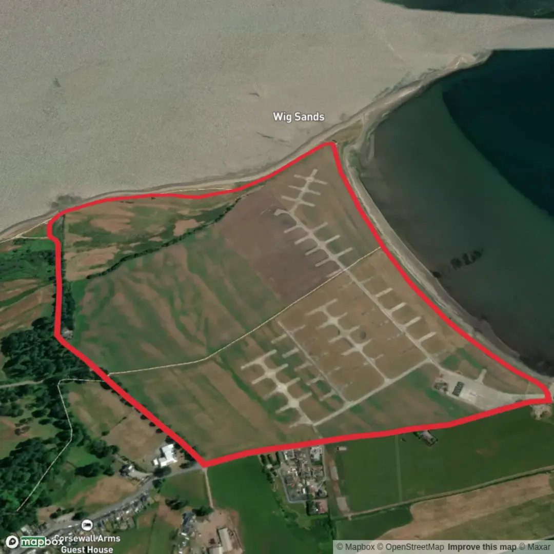
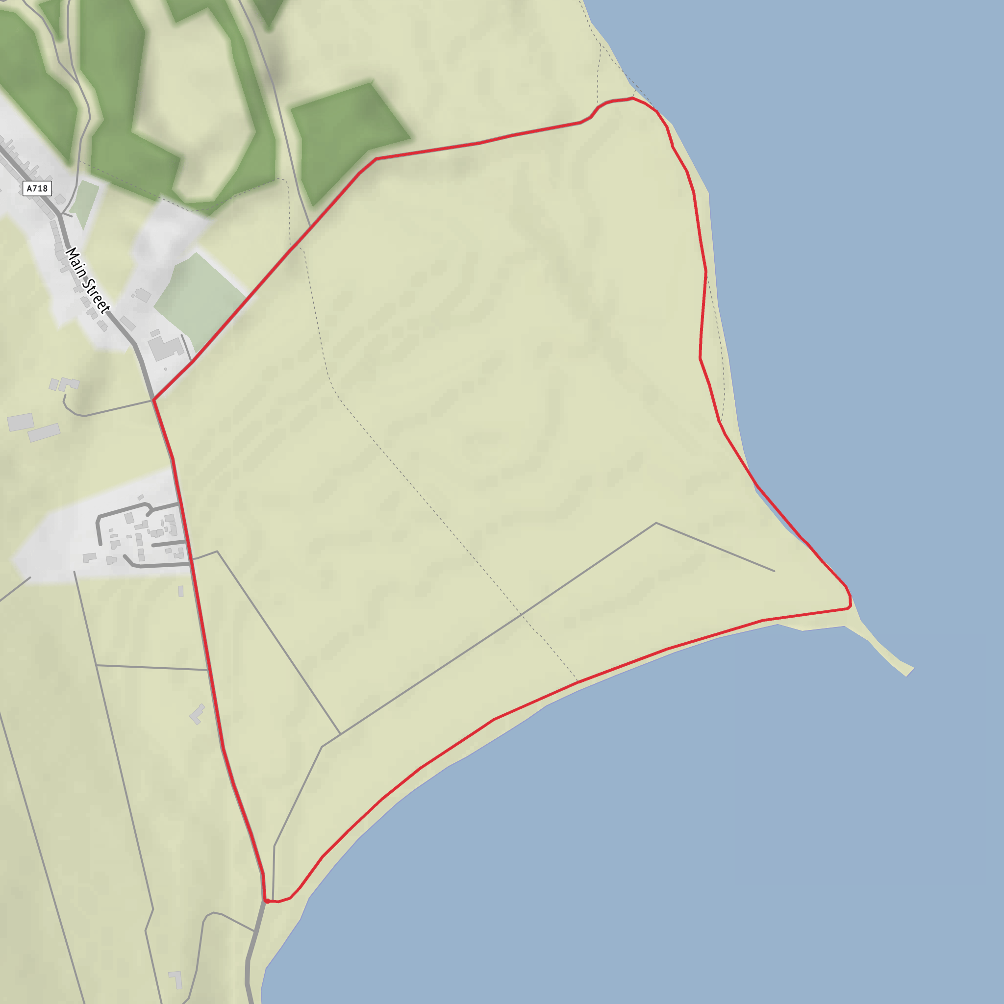
This easy circular walk explores the shoreline of Wig Bay near Kirkcolm, Stranraer, Dumfries and Galloway, starting from the Wig Bay car park on the A718 near Kirkcolm. At around 3 km / 1.9 miles with virtually no elevation gain, it is a relaxed outing suited to families, casual walkers, and anyone looking for a short coastal route with wide views and strong wildlife interest.
The route begins from the parking area and heads out on a clear track running close to the shore. The walking is generally straightforward, with flat ground and only gentle changes in surface, so the main thing to expect is a mix of firm path, shoreline sections, and potentially softer or damp patches depending on recent weather and the state of the beach. Because the terrain is so level, this is less about climbing and more about taking time to enjoy the open coastal setting, the changing light over Loch Ryan, and the broad sweep of sand ahead.
What to expect on the route
For the first stretch, roughly 1 km / 0.6 miles, the walk follows the coast with expansive views across Loch Ryan toward Cairnryan. Ferries crossing the Irish Sea are often visible from this side of the bay, which adds movement and scale to what is otherwise a peaceful shoreline landscape. The beach and bay can feel very open, especially in windy weather, so even on a short walk it is worth bringing a windproof layer.
As the route continues toward Wig Sands, the scenery becomes more distinctly coastal, with sand, saltmarsh influence, and low-lying shore habitat. This is the kind of walk where the landmarks are subtle rather than dramatic: the curve of the bay, the sandy shoreline, the spit known as The Scar, and the old wartime structures that still mark the area. The turning point is near an old observation post/lookout building, a notable feature that helps orient walkers before the route bends inland and back toward Kirkcolm. From there, the return leg uses a path leading back toward the village and then returns to the start.
Waymarking is generally described as clear, but coastal paths can still be confusing where tracks split near fields or shore edges, so carrying the route on HiiKER is a sensible backup.
Wildlife and nature
Wig Bay is especially well known for birdlife. The sheltered waters and shoreline provide feeding and resting habitat through much of the year, making this a rewarding walk for birdwatchers as well as general hikers. Ground-nesting birds use parts of the area in spring and early summer, particularly around The Scar, so walkers should take extra care to keep to the path and give sensitive areas plenty of space. Large groups of eider ducks may be seen on the bay, and skylarks are another characteristic species of the open coastal ground here.
The flat coastal setting also means the weather can shape the experience more than the terrain does. On calm days it feels gentle and accessible; on windy or wet days it can feel much more exposed. Waterproof footwear is useful if you plan to explore close to the sand or after rain, and binoculars are well worth packing if wildlife is one of your reasons for visiting.
Historical significance
This short walk has an unusually strong wartime backdrop for such a peaceful setting. The fields beside the outward section were used as a World War II airfield, and remnants of the military use of the site can still be seen, including concrete platforms and slipway-related infrastructure associated with flying boats. Historical accounts of the route note that large numbers of flying boats were stationed and maintained here before being towed into the sea. That military history gives the landscape an added layer of interest, especially because the remains are woven into what now feels like a quiet nature-rich bay.
The nearby village of Kirkcolm also sits within a part of the Rhins of Galloway with long coastal and maritime connections, and the views across Loch Ryan reinforce how strategically important this waterway has been for transport and defense.
Getting to the start
By car, the most practical access is to head for Wig Bay car park on the A718 near Kirkcolm, north of Stranraer. If using satnav, aiming for Kirkcolm, Stranraer is the simplest approach, then follow local signs for Wig Bay or Wig Sands once near the village.
By public transport, the usual option is to travel to Stranraer first and then connect by the 408 bus to Kirkcolm. From Kirkcolm, the start is close enough to reach on foot, though the exact walking distance depends on where you get off in the village. As with many rural services, checking the current timetable before setting out is important.
Because this is a short route, many walkers combine it with time in Kirkcolm or other nearby coastal stops around Loch Ryan. Even so, it is worth treating it as a proper coastal outing: bring a waterproof, wear shoes that can handle damp ground, and be aware that exposed bays can feel cooler than inland conditions suggest.
Comments and Reviews
User comments, reviews and discussions about the Wig Sands Circular Walk, Scotland.
average rating out of 5
0 rating(s)
