Download
3D Flyover
Add to list
More
40.0 km
~2 days
1060 m
Multi-Day
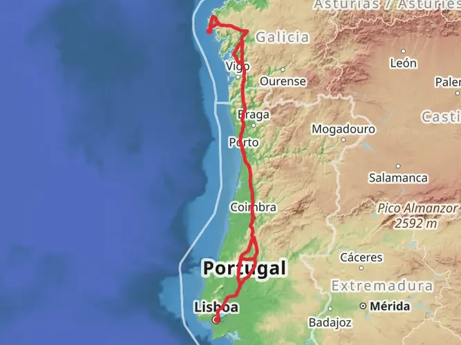
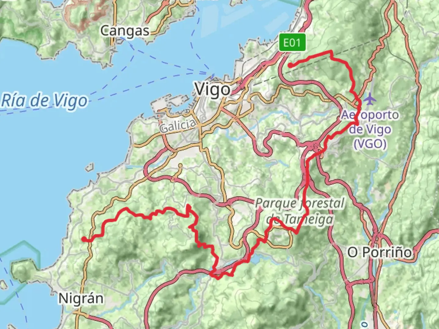
The GR 53 - Panoramic Path of Vigo is a 40.0 km trail that starts in Vigo, Vigo, Spain. Based on our data, the hike is graded as Medium. For information on how we grade trails, please read measuring the difficulty of a hiking trail on hiiker. Also, check our latest community posts for trail updates. This hike can be completed in approx 2 days. Caution is advised on trail times as this depends on multiple variables. For more info read about how we calculate hike time.

Frequently asked questions
How long does the GR 53 - Panoramic Path of Vigo take to hike?
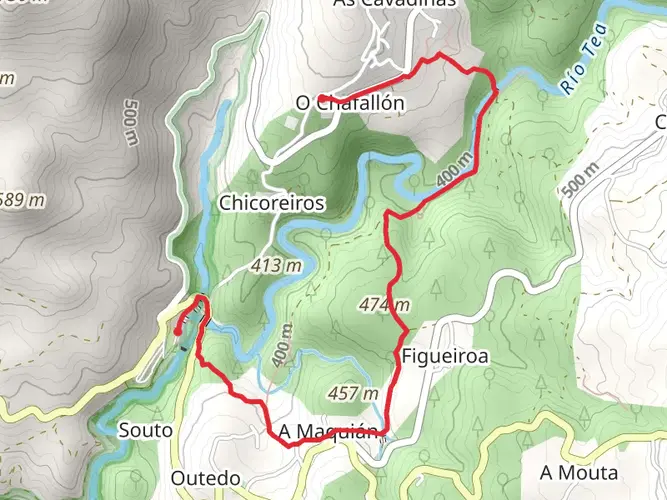
The mapped hike is 39.96 km with 1,060 m of climbing, so most hikers treat it as a full-day challenge or split it over two days. Vigo’s tourism information describes the wider GR-53 as a long panoramic route around the city that is commonly divided into stages, which fits the multi-day format and medium difficulty.
Is the GR 53 - Panoramic Path of Vigo hard?
GR 53 - Panoramic Path of Vigo is generally a medium-difficulty hike. The route covers almost 40 km and gains 1,060 m, so the challenge comes more from sustained distance and repeated climbs than from technical mountain terrain. Vigo’s official trail information also describes the GR-53 as a route of average to medium difficulty.
What can you see on the GR 53 - Panoramic Path of Vigo?
The route is known for elevated views over the city and the Ría de Vigo, plus a mix of forest parks, ridge walking, and archaeological sites. Official Vigo trail descriptions highlight viewpoints from high ground such as Alba and Cepudo, the Fragoselo petroglyphs, and dolmens in the Mercantil area along the broader GR-53 corridor.
Can the GR 53 - Panoramic Path of Vigo be hiked in sections?
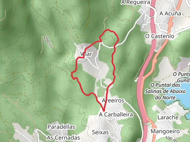
Yes. Even though this mapped hike is 39.96 km, the GR-53 around Vigo is well known as a route that can be broken into shorter stages. Vigo tourism materials describe the trail as a long circuit with numerous access points, and the city notes that urban bus service reaches the start and end of each main section.
Where does the GR 53 - Panoramic Path of Vigo start and finish?
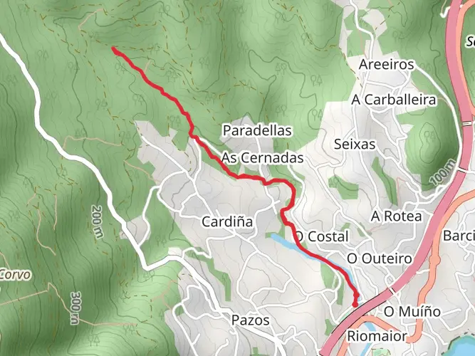
The broader GR-53 is a panoramic route around the hills and forest parks of Vigo rather than a simple out-and-back. Official stage descriptions place access points at places including Saiáns Church on the PO-552, A Pasaxe, and Puxeiros, with links through forest parks and outer neighborhoods, so exact start and finish points depend on the chosen section.
Is the GR 53 - Panoramic Path of Vigo good for a two-day hike?
Yes. With a distance of 39.96 km and 1,060 m of ascent, GR 53 - Panoramic Path of Vigo suits a two-day itinerary better than a casual day walk for many hikers. That pacing also matches how the official Vigo panoramic trail is commonly divided into stages, making it easier to manage the elevation and transport logistics.
Comments and Reviews
User comments, reviews and discussions about the GR 53 - Panoramic Path of Vigo, Spain.
5.0
average rating out of 5
6 rating(s)