Download
3D Flyover
Add to list
More
20.5 km
~4 hrs 37 min
307 m
Multi-Day
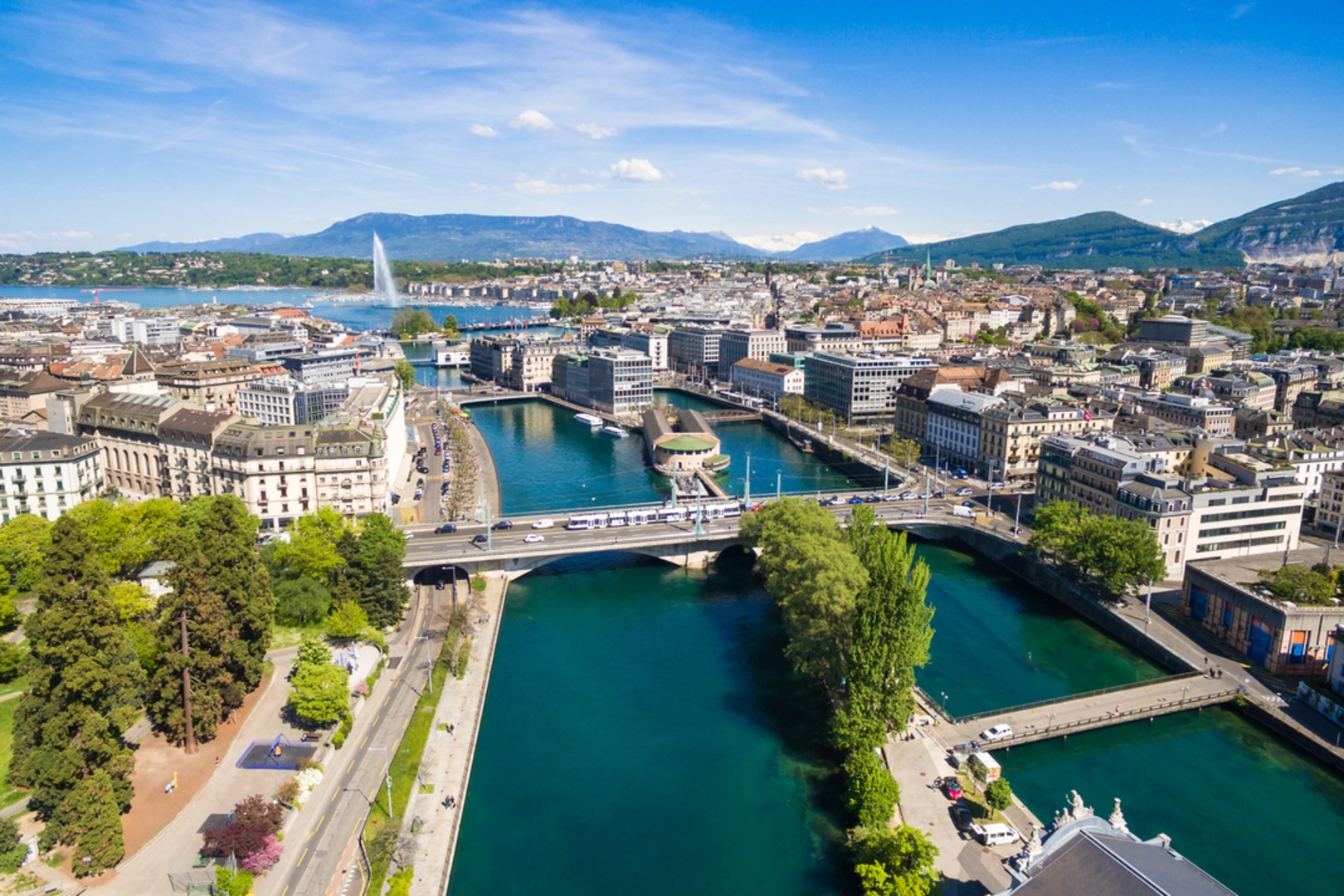
The Sentier du Rhône is a 20.5 km trail that starts in Geneva, Geneva, Switzerland. Based on our data, the hike is graded as Easy. For information on how we grade trails, please read measuring the difficulty of a hiking trail on hiiker. Also, check our latest community posts for trail updates. This hike can be completed in approx 4 hrs 37 mins. Caution is advised on trail times as this depends on multiple variables. For more info read about how we calculate hike time.

Frequently asked questions
How long is the Sentier du Rhône hike in Geneva, Switzerland?
The Sentier du Rhône is 20.54 km long. It is a point-to-point multi-day route in Geneva, following the Rhône corridor from the city toward La Plaine and passing natural and village landscapes along the way.
How difficult is the Sentier du Rhône hike near Geneva?
The Sentier du Rhône is rated easy, with 307 m of total elevation gain over 20.54 km. That makes it a relatively gentle Rhône-side walk by Swiss standards, better suited to steady distance than steep climbing.
What do you see on the Sentier du Rhône hike from Geneva to La Plaine?
The Sentier du Rhône follows the Rhône west from Geneva toward La Plaine and is known for river scenery, protected banks, and a quieter natural feel outside the city. Notable places on the route include the Moulin-de-Vert nature area and the villages of Cartigny and Avully.
Is the Sentier du Rhône a day hike or a multi-day trail?
The Sentier du Rhône is classified as a multi-day trail, but its 20.54 km distance means strong walkers often complete it in a long day. The route works well either as a single through-hike or as a relaxed outing split into shorter sections along the Rhône.
Does the Sentier du Rhône include the Sentier des Falaises in Geneva?
The Sentier du Rhône is associated with the Rhône-side walking corridor through Geneva, and the Sentier des Falaises at Saint-Jean is part of that broader riverside access. The Falaises section runs above and beside the Rhône near La Jonction and Saint-Jean, linking urban river walking with the longer route heading out of Geneva.
Is the Sentier du Rhône mostly flat?
The Sentier du Rhône is mostly gentle rather than mountainous, with 307 m of ascent across 20.54 km. The route follows the Rhône valley out of Geneva, so the effort comes more from the overall distance than from sustained steep climbs.
Comments and Reviews
User comments, reviews and discussions about the Sentier du Rhône, Switzerland.
average rating out of 5
0 rating(s)