Download
3D Flyover
Add to list
More
9.9 km
~2 hrs 8 min
98 m
Point to Point
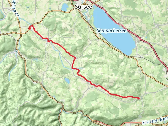
“Explore Swiss splendor on a serene, history-rich 10 km hike from Hochdorf to Hitzkirch.”
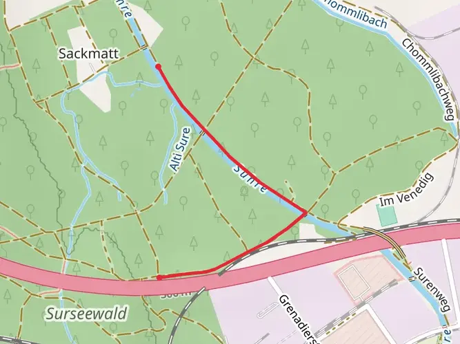
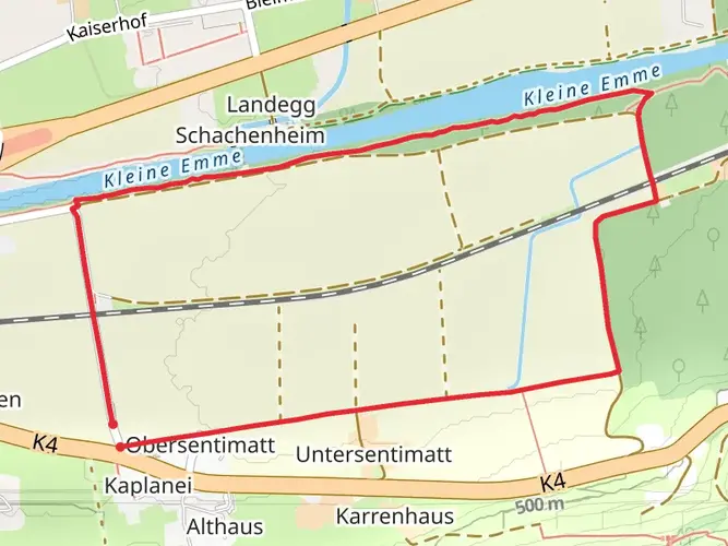
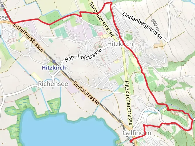
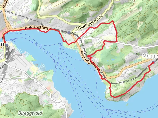
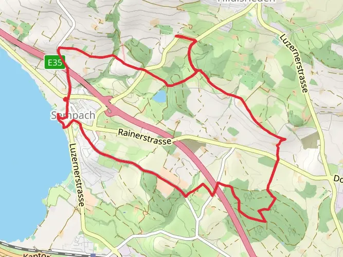
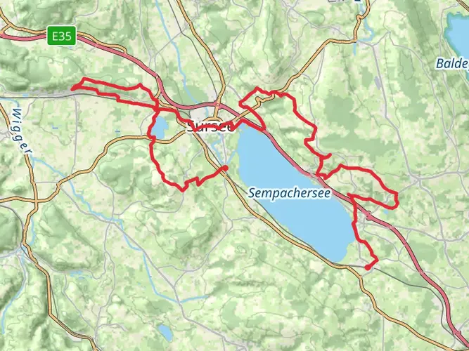
Embarking on the Hochdorf - Baldeggersee - Hitzkirch trail, hikers can expect a scenic 10 km (approximately 6.2 miles) journey through the picturesque Swiss countryside with virtually no elevation gain, making it an accessible yet engaging route. This point-to-point trail is rated medium in difficulty, likely due to the distance and the terrain rather than the incline, which is minimal.
Getting to the Trailhead
The trailhead is conveniently located near Hochdorf, a small town in the canton of Lucerne. For those opting for public transportation, Hochdorf is well-served by trains and buses. Upon arrival at the Hochdorf train station, the trailhead is just a short walk away, allowing hikers to begin their journey with ease. For those driving, parking can be found in the town, from where the trail can be accessed.
Navigating the Trail
As you set out from Hochdorf, the trail unfolds through lush meadows and agricultural landscapes, offering a glimpse into the rural life of central Switzerland. Hikers can utilize the HiiKER app to navigate the trail, ensuring they stay on the correct path and can anticipate any turns or points of interest along the way.
Natural Beauty and Wildlife
The route to Baldeggersee, a serene lake known for its clear waters and tranquil surroundings, is a highlight of the hike. The lake is approximately halfway through the trail and is a perfect spot for a rest while taking in the views. Birdwatchers will delight in the variety of species that can be observed here, including ducks, swans, and perhaps even the occasional osprey.
Historical Significance
As hikers approach Hitzkirch, the trail's endpoint, they will be walking through a region steeped in history. The area is dotted with historical markers and remnants from past centuries, including traditional Swiss architecture and cultural landmarks. Hitzkirch itself is a testament to the region's rich past, with its origins tracing back to the early Middle Ages.
Preparation and Planning
Before setting out, hikers should prepare for a range of weather conditions, as the Swiss climate can be unpredictable. It's advisable to bring layers, rain gear, and sun protection. Although the trail is not strenuous, carrying enough water and snacks is essential for maintaining energy levels throughout the 10 km stretch.
Conclusion
The Hochdorf - Baldeggersee - Hitzkirch trail offers a delightful experience for those looking to immerse themselves in the natural beauty and historical tapestry of Switzerland. With its easy accessibility and the charm of the Swiss countryside, this trail promises a memorable outing for hikers of all levels.

Comments and Reviews
User comments, reviews and discussions about the Hochdorf - Baldeggersee - Hitzkirch, Switzerland.
average rating out of 5
0 rating(s)