Morgan's Overlook and Blueberry Overlook via Cumberland Trail
Download
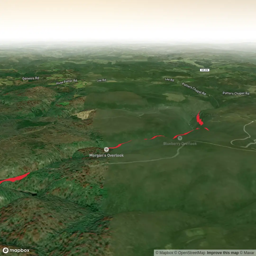
3D Flyover
Add to list
More
9.1 km
~2 hrs 10 min
207 m
Out and Back
“Bluff-top forest paths and laurel-framed overlooks make this a rewarding gorge walk for sure-footed hikers.”
This out-and-back on the Cumberland Trail is a bluff-top hike with two rewarding side trips, giving you broad views into Daddy’s Creek Gorge without the relentless elevation of the longer Obed River traverses. For a hike of about 9 km / 5.6 miles with roughly 200 m / 650 ft of climbing, expect a moderate outing that mixes easy forest walking with short steeper sections, rock steps, and a few uneven, rooty or stony patches. The route is best suited to hikers who are comfortable on natural singletrack and who don’t mind brief spur paths to reach the overlooks. (cumberlandtrail.org)
The usual starting point for this hike is the Daddy’s Creek Trailhead at Devil’s Breakfast Table in the Obed River section of the Cumberland Trail, inside Catoosa Wildlife Management Area in Tennessee. The trailhead is near the Devil’s Breakfast Table rock formation and the bridge over Daddy’s Creek, with gravel parking on the right and the signed trailhead a short distance farther up the road. The nearest practical landmark to use for planning is Devil’s Breakfast Table / Daddy’s Creek Trailhead in the Catoosa WMA near Wartburg, Tennessee. (cumberlandtrail.org)
Getting there is most straightforward by car. From the Catoosa WMA entrance, the Cumberland Trail Conservancy notes that you continue roughly 11 miles to Daddy’s Creek and Devil’s Breakfast Table, crossing a one-lane bridge before reaching the parking area. Public transport is very limited in this part of Morgan County, and there is no practical scheduled service directly to the trailhead, so most hikers should plan on driving or arranging a drop-off. (cumberlandtrail.org)
The opening stretch gives a good sense of the terrain. You begin near the creek and quickly work upward through the gorge rim on rock steps and a gradual switchback climb. That early ascent is where much of the day’s effort is concentrated, and although the overall elevation gain is moderate, the footing can feel more strenuous than the numbers suggest after rain or during leaf fall. (cumberlandtrail.org)
What to expect on the trail
At about 1.6 km / 1.0 mile from the trailhead, a short side path of roughly 50 m / 170 ft leads to Blueberry Bluff. This is the first major viewpoint, looking into Daddy’s Creek Gorge. The approach is short enough that most hikers will want to take it, and it works well as an early rest stop after the initial climb. The surrounding vegetation includes mountain laurel and blueberry bushes, which help explain the overlook’s name. (cumberlandtrail.org)
Back on the main trail, the route continues along the upland forest near the bluff edge with gentler grades and only minor rises and dips through small drainages. Around 2.6 km / 1.6 miles from the start, another side trail branches left for Morgan’s Overlook, this one about 120 m / 400 ft long. The view here opens northward up Daddy’s Creek Gorge and is often the highlight of the shorter turnaround hike. In late spring, mountain laurel blooming along this section can be especially striking. (cumberlandtrail.org)
If you are keeping the outing close to 9 km / 5.6 miles round trip, Morgan’s Overlook makes a natural turnaround point. The return follows the same route, so save a little energy for the descent back down the rock steps near the trailhead, where careful foot placement matters more than speed. (cumberlandtrail.org)
Terrain, conditions, and planning notes
Although this hike is often described as moderate, it is not a smooth walking path. Expect narrow dirt tread, embedded rock, stone steps, and occasional uneven footing. The bluff environment also means you should keep children and dogs close at the overlooks and on any exposed side paths. After wet weather, sandstone and leaf-covered rock can become slick. �

Surfaces
Ground
Asphalt
Comments and Reviews
User comments, reviews and discussions about the Morgan's Overlook and Blueberry Overlook via Cumberland Trail, Tennessee.
average rating out of 5
0 rating(s)