Download
3D Flyover
Add to list
More
10.0 km
~2 hrs 38 min
376 m
Loop
“Sandstone overlooks, hushed canyon paths, and Killdeer Arch make this a rugged Cumberland Plateau gem.”
This roughly 10 km / 6.2 mile outing to Mesa Top Overlook via the Overlook Trail and Upper Canyon Trail is a scenic Cumberland Plateau hike through Pogue Creek Canyon State Natural Area in northern Tennessee, near Pickett CCC Memorial State Park. Expect a moderate day with around 400 m / 1,300 ft of climbing overall, though some listings for the broader loop put it closer to 428 m / 1,404 ft over 10.1 km / 6.3 miles, so it is wise to plan for the higher figure. The route combines rim walking, wooded ridge travel, steep descents into canyon terrain, and standout sandstone features including broad overlooks, rock shelters, and the detour-worthy Killdeer Arch. (alltrails.com)
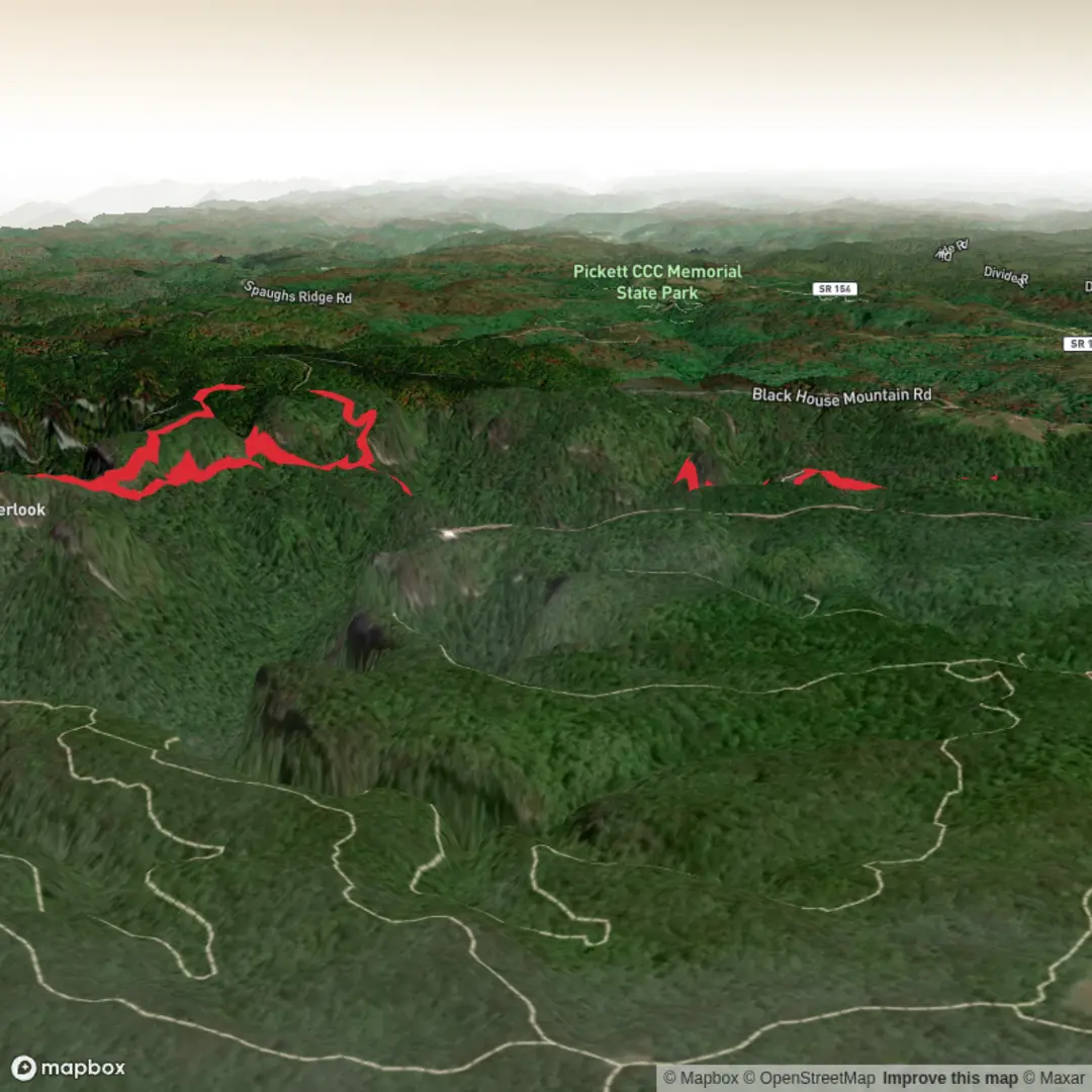
The hike is in Pogue Creek Canyon State Natural Area, adjacent to Pickett CCC Memorial State Park near Jamestown, Tennessee. For practical navigation, the nearest widely recognized access point is the Pickett CCC Memorial State Park area at 4605 Pickett Park Highway, Jamestown, TN 38556, while the Mesa Top side approach described for this route is reached from Black House Mountain Road, roughly 5 miles off Pickett Park Highway, near the Moccasin Rock Trail area. The Mesa Top trailhead itself may be understated on the ground, so checking the route carefully in HiiKER before arrival is a very good idea. (reserve.tnstateparks.com)
Getting there is simplest by car. From Jamestown, hikers typically head toward Pickett Park Highway and then continue toward the Pogue Creek Canyon / Pickett area; from there, Black House Mountain Road provides access to the more remote trail approach described above. Parking is limited and can feel informal at some access points. Public transport is not a realistic option for most hikers, as this part of Fentress County is rural and trail access is not served directly by regular transit. If you are not driving, the most practical alternative is arranging a private drop-off from Jamestown or the Pickett park area. (reserve.tnstateparks.com)
The opening stretch is usually the gentlest part of the day. Much of the Mesa Top section follows an old logging road along a wooded ridge for about 1.2 km / 0.75 mile before the terrain becomes more dramatic. This makes for a relatively forgiving warm-up, but it should not lull hikers into thinking the whole route is easy. Once the ridge narrows and the canyon begins to reveal itself through the trees, the character of the hike changes quickly, with scrambles, stair sections, and more exposure near the overlooks. (brookandholler.com)
What the route feels like
The overlook section is the visual payoff early on. Around the mid-hike mesas, the trail reaches exposed sandstone shelves with big views into Pogue Creek Canyon. One notable feature of this area is a steep staircase descending from one overlook to another mesa-like bench below, followed by additional rocky movement toward the final viewpoint. These short but steeper sections are where the “moderate” rating feels most justified, especially in wet weather when sandstone, roots, and leaf litter can become slick. (brookandholler.com)
From the mesa rim, the route drops toward the Upper Canyon Trail. That descent is where much of the day’s elevation change is concentrated. One account of the area describes roughly 150 m / 500 ft of loss just from the mesa down toward the canyon floor zone, and even then you are not fully at creek level. This means the return or loop continuation can feel more strenuous than the mileage suggests. Trekking poles can help on the steeper grades, but if you carry navigation tools, use HiiKER for route confirmation rather than relying on sparse junction signage alone. (brookandholler.com)
Once on the Upper Canyon Trail, the scenery shifts from upland forest to a more enclosed sandstone canyon environment. The trail passes beneath cliffs, through sandy sections, and near rock shelters and smaller openings in the bluffline. Killdeer Arch is one of the signature landmarks here

Surfaces
Ground
Unknown
Comments and Reviews
User comments, reviews and discussions about the Mesa Top Overlook via Overlook Trail and Upper Canyon Trail, Tennessee.
average rating out of 5
0 rating(s)