Download
3D Flyover
Add to list
More
13.3 km
~3 hrs 18 min
389 m
Loop
“A dramatic descent into a hidden limestone cathedral, with a stingingly steep climb home.”
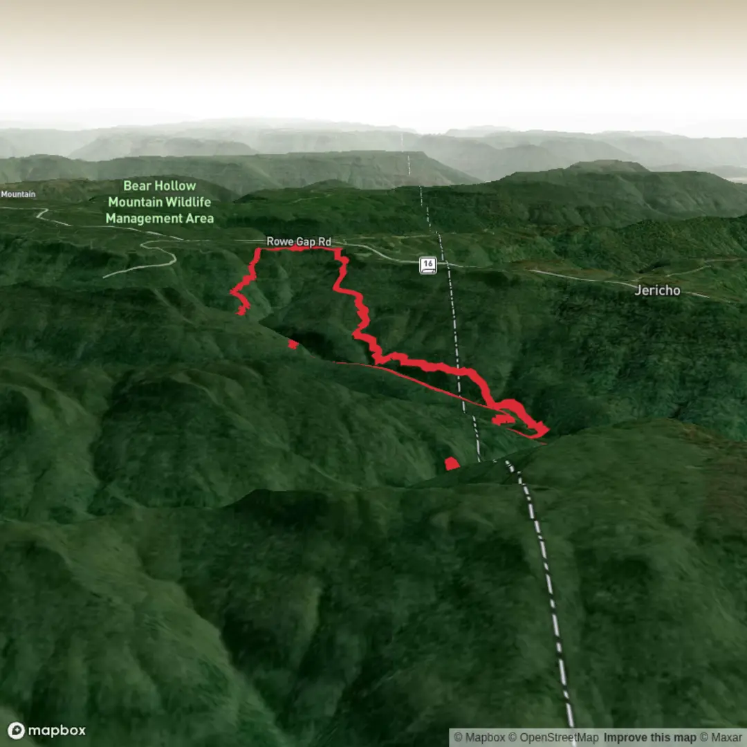
This out-and-back route to the Falls of the Walls of Jericho is one of the Southeast’s classic canyon hikes: a steady descent into a deep limestone basin followed by a much tougher climb back out. Although the overall distance is around 13 km / 8 miles with roughly 400 m / 1,300 ft of elevation gain, the effort often feels bigger than the numbers suggest because most of the climbing comes late, on the return, when legs are already tired. The Alabama approach is generally the shorter way in, and the trail leads into a dramatic natural amphitheatre on the Alabama–Tennessee border where Turkey Creek disappears into a cave system beneath towering rock walls. (nature.org)
The hike begins near the Alabama trailhead off AL-79, close to the state line near Estillfork and Hytop. A practical landmark for drivers is the gravel parking area with a yellow gate and information kiosk just off Highway 79 on the Alabama side; that is the main hiking access used for the shorter route to the Walls. The area is remote, so most hikers arrive by car, and there is no meaningful public transport directly to the trailhead. If travelling without a car, the nearest realistic transport hubs are larger towns such as Scottsboro or Huntsville, followed by a taxi or rideshare arranged well in advance, though service in the final rural stretch can be unreliable. (nature.org)
From the start, the trail drops quickly off the plateau through hardwood forest, and that early downhill is worth respecting because every metre lost has to be regained on the way back. The tread is usually well marked, but footing can vary from smooth dirt to roots, loose rock, slick mud, and wet crossings. Hikers should budget extra time for the return climb, especially in warm weather, because this is the part that turns a moderate-looking day into a strenuous one for many parties. Recent route descriptions commonly place the Alabama out-and-back at roughly 7 to 7.4 miles / 11.3 to 11.9 km, though reaching the falls and exploring around the amphitheatre can push the day closer to the 13 km / 8 mile figure you have listed. (alltrails.com)
What the route is like
The middle section of the hike carries you deeper into a sheltered creek valley, with footbridges and low areas that can stay muddy after rain. Hurricane Creek and Turkey Creek are key water features on the approach, and the final stretch near Turkey Creek is often the messiest and slipperiest part of the route. In wet periods, expect saturated ground, slick rock, and the possibility of getting your feet wet even where bridges exist. (nature.org)
As you near the Walls, the landscape changes character. The forested valley tightens into a striking limestone gorge with high bluffs, overhangs, cave openings, and the bowl-shaped “Cathedral” area at the head of the canyon. This is the signature landmark of the hike: a natural amphitheatre where water, rock, and shadow combine into one of the most unusual settings in the region. Depending on water levels, the falls may range from a gentle cascade to a much more forceful display, and many hikers spend time carefully exploring the creekside viewpoints around the basin. (wikiloc.com)
Landmarks, nature, and wildlife
The Walls of Jericho protect part of the headwaters of the Paint Rock River watershed, an important intact landscape on the Alabama–Tennessee border. The area is known for rich biodiversity, including notable wildflowers, warblers, salamanders, bats, and other species associated with moist coves, limestone bluffs, and cave-influenced habitats. Species highlighted by land managers in the broader preserve include hooded warbler, Kentucky warbler, blue-winged warbler, chestnut-sided warbler, green salamander, four-toed salamander, mountain chorus frog, grey bat, Indiana bat, Rafinesque’s big-eared bat, and Allegheny woodrat, along with spring wildflowers such as bloodroot, Dutchman’s breeches, and yellow lady’s slipper. (nature.org)
Because of that habitat diversity, hikers should pay attention not only to the falls but also to the transition from upland forest to cool

Surfaces
Ground
Unknown
Unpaved
Comments and Reviews
User comments, reviews and discussions about the Falls of the Walls of Jericho via Walls of Jericho Trail, Tennessee.
average rating out of 5
0 rating(s)