Download
3D Flyover
Add to list
More
5.4 km
~1 hrs 41 min
365 m
Out and Back
“A wild creek-scramble through laurel-shadowed hollows leads to Marys Falls, with a stingingly steep return.”
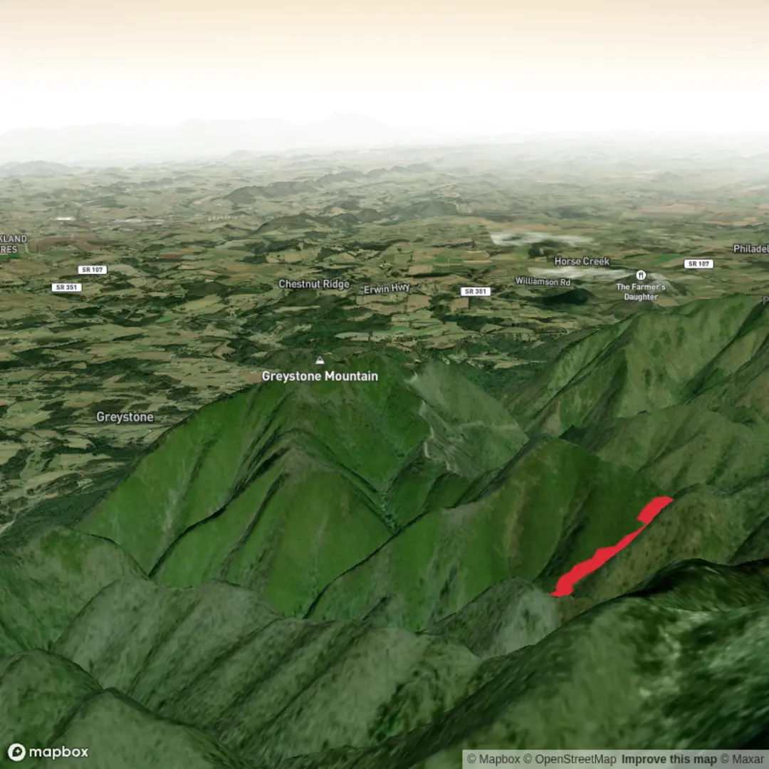
This difficult out-and-back to Marys Falls packs a lot into a short day: roughly 5 km / 3.1 miles round trip with about 400 m / 1,300 ft of elevation change, depending on exactly where you start and how much wandering you do around the creek crossings. The route is generally associated with the Davis Creek Trail system in Cherokee National Forest near Greeneville, Tennessee, and the usual starting point is the Round Knob Picnic Area on Round Knob Road in Greene County. Trailhead coordinates commonly listed for the falls area are about 36.064600, -82.680750, which corresponds to the Round Knob Picnic Area / Round Knob Picnic Shelter area rather than a street address. (northeasttennessee.org)
Expect a rugged Southern Appalachian hike rather than a polished waterfall walk. Although the overall distance is modest, the difficulty comes from steep grades, repeated creek crossings, slick rock, uneven tread, and sections where the route is faint or unmarked. One regional trail source describes Marys Falls as an unmarked side route off the Davis Creek corridor, and another notes that hikers will criss-cross Davis Creek numerous times and even travel directly up the creekbed in places before reaching the falls. (northeasttennessee.org)
What the route is like
From Round Knob, the trail drops away from the higher ridge into a narrow, shaded hollow. Early on, the forest feels classic Unaka-country: mixed hardwoods, rhododendron tunnels, mountain laurel, mossy rocks, and a cool stream never far away. The descent can feel deceptively manageable at first, but footing quickly becomes more technical as the route approaches Davis Creek and the drainage tightens. (fs.usda.gov)
A useful way to think about the hike is in thirds. In the first section, roughly the opening 1 to 1.5 km / 0.6 to 0.9 mile, you lose elevation steadily on forest trail. In the middle section, the route becomes much rougher, with multiple stream crossings and rocky, wet footing. In the final approach, the hollow narrows and the route steepens again as you work uphill along the left bank toward the waterfall. That last push is often the slowest part of the day, even though it is short. The waterfall itself is reported at about 35 feet / 11 m high, tucked into a secluded pocket that sees far less traffic than better-known regional falls. (northeasttennessee.org)
Because the hike begins high and drops into the drainage, remember that the return trip is the harder half. The climb back to Round Knob is where the “difficult” rating really shows itself. A short outing on paper can feel much bigger on the way out, especially in humid summer weather or after rain.
Navigation and trail-finding
This is not the place to rely on casual signage. Marys Falls is commonly described as unmarked, and the Davis Creek area includes intersecting routes used by hikers and equestrians. Carry HiiKER and study the drainage before setting out so you know where the main Davis Creek line is and where the falls spur or user path leaves it. (northeasttennessee.org)
The biggest navigation issues usually come at: - creek crossings where the tread disappears on rock, - leaf-covered side paths, - junctions with other informal or lightly maintained routes, - and the final approach near the falls, where the path can be clearer than expected in one season and nearly swallowed by vegetation in another.
If water is high, the route can also look very different from what you expected. Build extra time into the day for route-finding.
Water, terrain, and seasonal hazards
Davis Creek is the defining feature of the hike. In dry conditions, the crossings are mostly a balance-and-foot-placement problem. After rain, they can become the main hazard of the day. Wet rocks, algae, leaf-slick slabs, and undercut banks can turn a short crossing into a fall risk. The streambed travel mentioned in local descriptions is another clue that waterproofing and traction matter here. (northeasttennessee.org)
Spring usually brings the best waterfall flow, but also the highest water and muddiest footing. Summer adds dense greenery, humidity, insects, and the possibility of overgrown sections. Autumn often offers the best combination of visibility and cooler temperatures, with leaf color in the hardwood forest, though fallen leaves can hide roots and slick rocks. Winter can be beautiful and quiet, but ice in the shaded hollow and around the creek crossings can make the route significantly more serious. A regional tourism source specifically highlights the falls as a winter solitude destination,

Surfaces
Ground
Unknown
Gravel
Comments and Reviews
User comments, reviews and discussions about the Marys Falls via Davis Creek Trail, Tennessee.
average rating out of 5
0 rating(s)