Download
Preview
Add to list
More
15.3 km
~4 hrs 13 min
699 m
Out and Back
“A rugged, rollercoaster gorge walk leads through rhododendron tunnels to the dramatic plunge of Imodium Falls.”
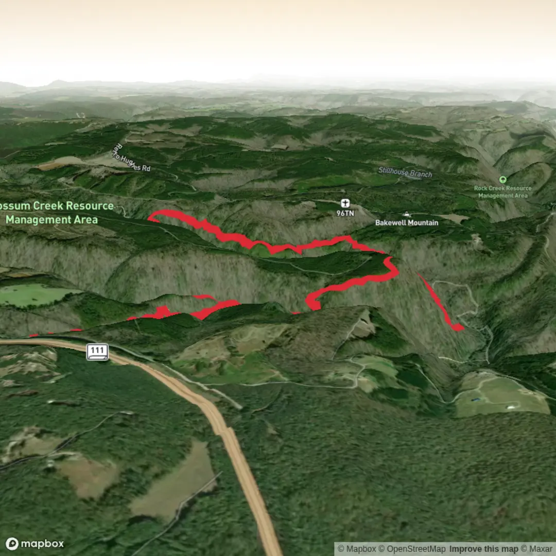
This roughly 15 km / 9.3 mi outing to Imodium Falls follows the Cumberland Trail’s Possum Creek Gorge section on the Cumberland Plateau above Soddy-Daisy and Sale Creek, Tennessee. Expect a hike that feels more rugged than the mileage suggests: repeated descents into creek gorges, climbs back onto ridges, rocky tread, rooty sections, and a few steep stair-step drops make the route a solid medium day for fit hikers, though many will find parts of it moderately strenuous rather than easy. The broader Possum Creek Gorge section is officially described as 9.5 miles / 15.3 km one way with about 1,000 ft / 305 m of gain and 1,000 ft / 305 m of loss between Heiss Mountain Road and Retro-Hughes Road, and the Imodium Falls landmark sits about 5.1 miles / 8.2 km from the Heiss Mountain Road end. For an out-and-back specifically to the falls, hikers should plan on roughly 10.2 miles / 16.4 km total, with cumulative climbing that can feel closer to your stated 700 m / 2,300 ft once all the ups and downs are counted. (cumberlandtrail.org)
The usual starting point for this hike is the Heiss Mountain Road trailhead, near the junction of Heiss Mountain Road and Jones Gap Road by the Eagle Travel Center, around 1870 Heiss Mountain Road, Soddy-Daisy, TN 37379. From US 27 north of Soddy-Daisy, take TN 111 up onto the plateau, exit at Jones Gap Road, cross over the highway, then turn immediately onto Heiss Mountain Road. The trailhead parking is about 0.5 mi / 0.8 km farther along the road near the end of a guardrail, with Cumberland Trail signage and a kiosk. If you are coming by car, this is the simplest access. Public transport is very limited here; there is no practical regular transit directly to the trailhead, so most hikers will need a private vehicle, rideshare arranged in advance, or a drop-off/shuttle. (cumberlandtrail.org)
Right from the start, the trail drops off the plateau through forest and past large boulders, crossing the West Branch of Blanchard Creek on a bridge within the first 0.1 mi / 0.2 km. Early on, the route gives a good sense of the terrain for the day: narrow bench-cut tread, creekside traverses, rock shelters, and long contouring stretches that can be slick after rain. This is not a smooth rail-trail style walk; footing changes constantly, and the repeated elevation changes are what make the route feel bigger than the map suggests. (cumberlandtrail.org)
What the route feels like
The first several miles are a sequence of gorge travel and ridge travel. You descend into Big Possum Creek’s drainage, climb out toward Hughes Ridge, then later descend again toward Little Possum Creek. The trail is known for steep sections, rock steps, rhododendron tunnels, sandstone outcrops, and occasional overlooks toward the Tennessee River Valley and distant Appalachian ridges. In spring and after wet weather, the creeks, cascades, and small side falls are especially lively; in dry periods, the waterfalls may be reduced, but the sculpted gorge scenery still carries the hike. (komoot.com)
At around mile 5.0 / 8.0 km from Heiss Mountain Road, the trail reaches a break in the cliff known as Ed’s Break, named for Ed Sonder, one of the hikers involved in helping designate the route through the Possum Creek gorges in 2000. Shortly after, at about mile 5.1 / 8.2 km, a rock staircase drops toward Little Possum Creek Falls, better known as Imodium Falls. There is a short but very steep side path of roughly 100 ft / 30 m down to the

Surfaces
Dirt
Unknown
Paved
Comments and Reviews
User comments, reviews and discussions about the Imodium Falls via CT Possum Creek Gorge Trail, Tennessee.
average rating out of 5
0 rating(s)