Download
3D Flyover
Add to list
More
4.1 km
~1 hrs 6 min
174 m
Out and Back
“A rocky plunge through restored forest to a graceful gorge waterfall with rugged Cumberland character.”
This short but punchy out-and-back to Stripmine Falls packs a lot into roughly 4 km / 2.5 miles, with about 200 m / 656 ft of elevation gain. Although the mileage looks modest, the route earns its medium rating because the Cumberland Trail here can be rocky, uneven, and surprisingly steep in places, especially where old mining roads give way to narrower footpath and where the trail drops toward the creek corridor. The waterfall is the main objective, but the setting is just as memorable: deep gorge scenery, sandstone terrain, mixed forest, and the sense of moving through one of the most rugged corners of the North Chickamauga Creek Gorge area. (tn.gov)
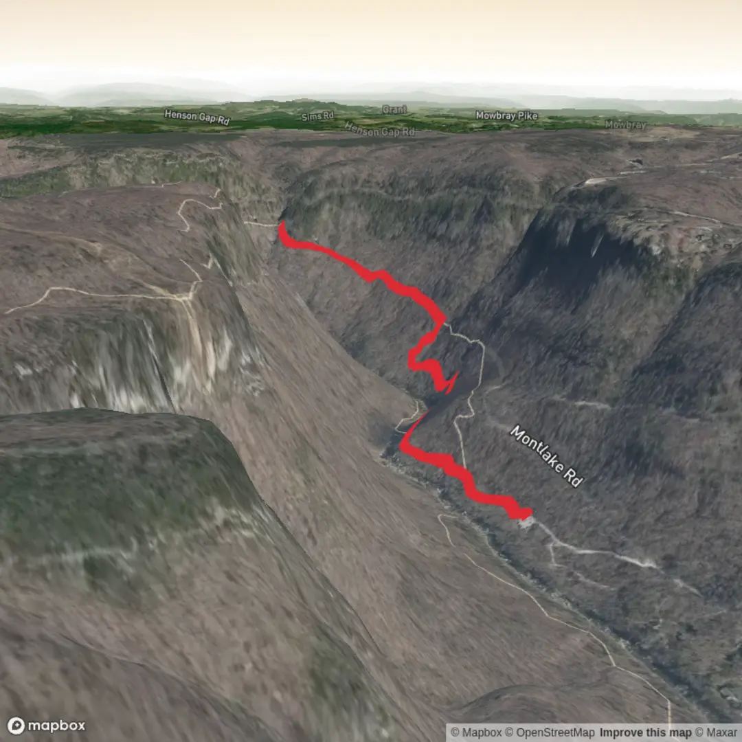
The hike is in the North Chickamauga Creek Gorge State Natural Area, about 15 miles / 24 km north of Chattanooga near Soddy-Daisy, Tennessee. For most hikers, the practical starting point is the Montlake Road trailhead in the Bowater Pocket Wilderness/North Chickamauga Creek Gorge access area, reached from Montlake Road off Dayton Pike. That trailhead is the usual access for the shorter route toward Stripmine Falls, and the nearest significant landmark is the North Chickamauga Creek Gorge trailhead area on Montlake Road near Soddy-Daisy. If driving, Chattanooga is the main gateway city, and the trailhead is typically around a 25-minute drive north depending on traffic. Public transport is very limited; there is no well-established direct transit option to the trailhead, so most hikers should plan on using a car or arranging a drop-off/rideshare from the Chattanooga or Soddy-Daisy area. (tn.gov)
The opening stretch generally follows an old roadbed associated with the area’s industrial past before narrowing into more natural singletrack. That history matters here: the name “Stripmine Falls” reflects the legacy of coal extraction on Walden’s Ridge and the Cumberland Plateau, where former mining roads and disturbed ground were later absorbed into a landscape now managed for conservation and recreation. The broader Cumberland Trail itself is Tennessee’s long-distance linear state park, designed to connect ridges, gorges, and protected natural areas along the Plateau. In this section, hikers move through a place where extractive history and modern restoration sit side by side. (cumberlandtrail.org)
What the hike feels like
Expect a route that starts fairly gently, then becomes more demanding as it trends through rolling forest and descends toward the falls area. Loose rock underfoot is one of the main things to watch for, especially after rain, and short steeper pitches can feel harder than the overall distance suggests. If the trail is wet, roots, rock slabs, and leaf-covered sections can all become slick. Hikers should allow extra time for careful footing rather than judging the outing purely by mileage. The waterfall area can also be muddy and uneven, with side paths that may tempt people closer to the water or bluff edges. Staying on the main tread is the safer choice. (alltrails.com)
Stripmine Falls itself is the payoff, usually appearing as a graceful cascade in a rocky, wooded setting. Water volume can vary a lot with recent rainfall, so after wet weather the falls may be much more dramatic, while in drier periods the flow can be lighter. The surrounding gorge terrain adds to the appeal: sandstone bluffs, shaded coves, and a creek system that has carved deeply into the plateau. This is the kind of hike where the atmosphere changes with the season—lush green in warmer months, better long views through the trees in winter, and especially attractive color in fall. (tn.gov)
Terrain, nature, and wildlife
The North Chickamauga Creek Gorge is known for its ecological diversity. Forest types in the area include mixed mesophytic forest in richer coves as well as oak-hickory and oak-pine communities on drier uplands and bluffs. In practical hiking terms, that means a noticeable shift in vegetation as the trail moves between exposed higher ground and cooler, moister hollows near water. Wildflowers, mossy rock, hemlock-shaded pockets, and broadleaf forest are all part of the experience depending on season and exact route conditions. (tn.gov)
Wildlife is one of the area’s quiet highlights. The gorge supports a high diversity of habitats, and notable species reported from the natural area include bald eagles and peregrine falcons. The creek and its shoals also support sensitive plant communities, including rare and protected species, which is one reason it is important to avoid trampling streambanks or wandering off trail. More

Surfaces
Ground
Unpaved
Unknown
Comments and Reviews
User comments, reviews and discussions about the Stripmine Falls via Cumberland Trail, Tennessee.
average rating out of 5
0 rating(s)