Download
3D Flyover
Add to list
More
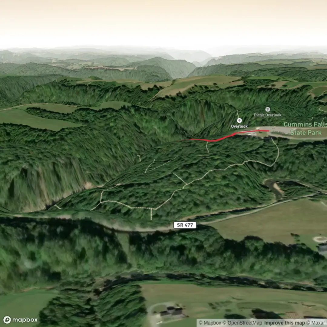
2.9 km
~39 min
49 m
Out and Back
“A gentle forest wander leads to a lush waterfall reward, with care needed on slick sections.”
This is a short, easy waterfall walk of about 3 km return (roughly 1.9 miles) with around 100 m of climbing (about 328 ft), making it a good option for families, casual walkers, and anyone wanting a quick outing with a scenic payoff. The route is best approached as a gentle out-and-back, with the main attraction being the falls themselves rather than sustained climbing or long-distance trail travel. Because the elevation gain is modest, most hikers will find the effort manageable, but the track can still feel steeper in short bursts near the waterfall approach or on any damp, uneven sections.
Getting to the start is the one part that needs a little extra planning, because the available location details are incomplete. The trailhead is listed only as “near” without a confirmed place name or coordinates, so the nearest known address or landmark cannot be converted reliably from the information provided. If you are driving, the best approach is to use HiiKER to confirm the exact trailhead parking area before setting out. If public transport exists nearby, it is likely to involve reaching the nearest town or roadside stop first and then completing the final section by taxi, rideshare, or on foot, as short waterfall walks often begin outside regular transit corridors.
What to expect on the walk
The opening section is usually the easiest part of a walk like this, with a broad or clearly defined path leading away from the trailhead through low forest, scrub, or open bush margins. Over the first 1 km to 1.5 km (0.6 to 0.9 miles), expect a mostly gentle gradient with occasional roots, stones, or muddy patches depending on recent rain. On an easy-rated route, the footing is generally straightforward, but waterproof shoes or shoes with decent grip are still a smart choice, especially if the falls create spray or the route crosses damp ground.
As you continue, the sound of water often becomes the clearest sign that the main viewpoint is getting close. The final approach may include a slightly steeper descent or a rougher section where erosion, exposed rock, or wet leaf litter makes footing more slippery than the overall difficulty rating suggests. That is often where hikers should slow down most. A 3 km route with 100 m of ascent is short enough that many people underestimate it, but waterfall tracks can be slick in exactly the places where people are most distracted by the scenery.
At the falls, expect a compact but rewarding destination rather than a huge backcountry objective. Waterfall settings like this often have a viewing area, creek edge, or natural rock platform where people stop for photos and a short break. If there is no formal barrier, keep well back from wet rock edges and avoid stepping onto polished stone near moving water. Even on easy walks, the highest slip risk is usually at the destination.
Nature, terrain, and seasonal conditions
A route of this length and elevation profile typically passes through moist vegetation zones that support ferns, mosses, lichens, and shade-loving understory plants. In wetter months, the area around the falls is often at its greenest, and the waterflow is usually more impressive. After dry spells, the walk may still be pleasant, but the waterfall itself can be reduced. If you are planning specifically for the best visual impact, recent rainfall matters.
Wildlife on short waterfall walks commonly includes small forest birds, insects, skinks or lizards in sunnier clearings, and amphibians in damp pockets if the habitat is suitable. Early morning is usually best for bird activity. Hikers should also watch for wasps, mosquitoes, leeches in some regions, and snakes where locally present, though the exact wildlife risks depend on the confirmed location. Because the trail location is not fully identified here, it is worth checking HiiKER for the mapped region and any recent trail notes before you go.
Planning and safety
For most hikers, allow around 1 to 1.5 hours total at a relaxed pace, longer if you plan to spend time at the falls. Bring water even though the walk is short, and pack a light waterproof layer if the forecast is changeable. Trekking poles are not essential for an easy 3 km route, but they can help on wet descents. Mobile coverage may be inconsistent around gullies and waterfalls, so downloading the route in HiiKER before leaving is a sensible precaution.
The main things to look out for are slippery rock, muddy sections after rain, tree roots hidden under leaf litter, and the temptation to leave the main path for a better photo angle. If children are joining the walk, the short distance makes it very manageable, but they should be closely supervised near water and drop-offs. If dogs are allowed, they may need extra care around creek crossings and slick rock shelves.
Historical significance of the area
The historical context of

Surfaces
Unknown
Ground
Comments and Reviews
User comments, reviews and discussions about the Cumin Falls via Falls Route, Tennessee.
average rating out of 5
0 rating(s)