Download
3D Flyover
Add to list
More
941 m
~20 min
92 m
Out and Back
“A brief but punchy climb through mossy forest leads to dramatic waterfall views above Beaverdam Creek.”
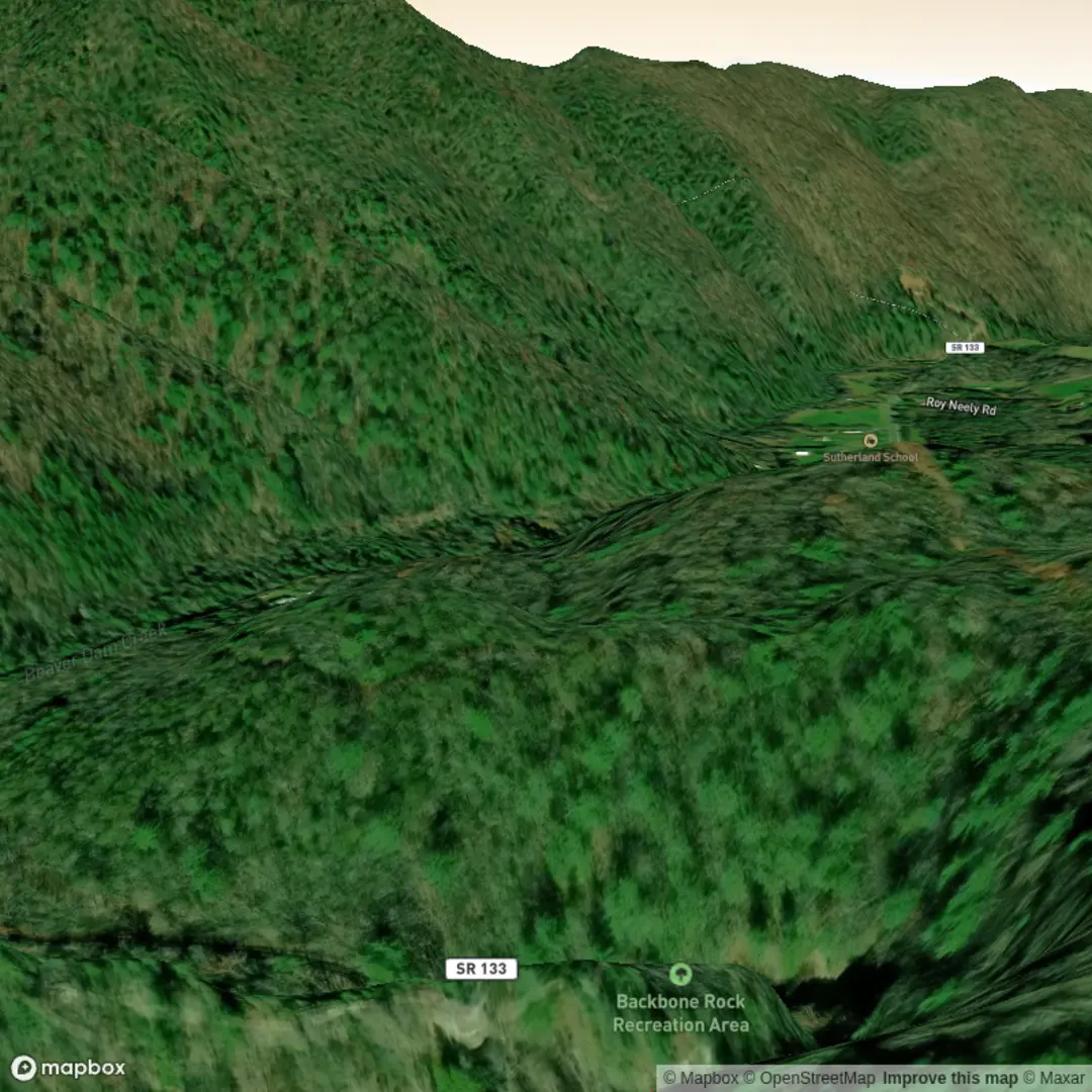
This short but surprisingly rugged waterfall walk sits in the Backbone Rock Recreation Area in Cherokee National Forest, near the landmark of Backbone Rock on TN 133 between Shady Valley, Tennessee, and Damascus, Virginia. The nearest clear trail access is the Backbone Rock day-use parking area on Tennessee Highway 133, just beside the famous rock tunnel and along Beaverdam Creek. A commonly cited trailhead point, 36.593387, -81.815748, corresponds to the Backbone Rock Recreation Area near 4221 TN-133, Shady Valley, TN 37688 as the nearest practical landmark/address reference. (northeasttennessee.org)
At around 1 km / 0.6 miles with roughly 100 m / 328 ft of elevation gain, this is a very short outing on paper, but the terrain can make it feel more demanding than the mileage suggests. The route uses developed rock steps, walkways, and short steep sections, and the climb is concentrated rather than gradual. The Forest Service describes it as a short loop with multiple viewpoints of the 45-foot (about 14 m) Backbone Falls, so hikers should expect a compact route where footing and stair climbing matter more than endurance. (fs.usda.gov)
What the walk is like
From the day-use parking area, the falls trail begins across TN 133 on the east side of the road, where stone steps rise into the woods. The first part of the hike gains elevation quickly on hand-laid steps and a maintained path cut into the slope. Even though the distance is short, the grade and the uneven stonework can justify a Difficult rating for anyone with limited mobility, for families carrying children, or in wet conditions when the rock becomes slick. (northeasttennessee.org)
As the trail climbs, it passes through a narrow forested corridor above Beaverdam Creek, then reaches overlooks toward the creek valley and the falls. The waterfall itself drops about 45 ft / 14 m, and the trail is designed to give more than one viewing angle rather than just a single end point. Expect rock edging, short stair runs, and a bluffside feel in places. Because this is such a compact route, hikers often combine it with a brief visit to Backbone Rock itself, but the falls trail alone is enough to warrant sturdy shoes and careful pacing. (fs.usda.gov)
Landmarks, scenery, and seasonal character
The standout landmark here is Backbone Rock, the dramatic rock spur on Holston Mountain that gives the area its name. Beaverdam Creek bends around this formation, and the trail environment mixes creekside moisture, mossy rock, rhododendron, and mature forest. Regional descriptions also note preserved hemlocks and lush moss along the falls route, which helps explain why the trail can feel cool, shaded, and damp even when surrounding roads are dry. (recreation.gov)
The creek corridor is one of the area’s defining natural features. Beaverdam Creek is known for trout habitat and fishing, and the surrounding forest supports the kind of wildlife typical of the southern Appalachians, including songbirds, small mammals, amphibians, and black bears in the broader recreation area. Recreation.gov specifically warns visitors that they are in bear country, so food and scented items should be managed carefully if lingering in the picnic or campground areas. (recreation.gov)
In wetter weather, the falls and creek are more dramatic, but that usually means slicker stone steps and muddy edges. In leaf-off seasons, views through the valley tend to open up more; in summer, the dense greenery makes the route feel enclosed and humid. After heavy rain, extra caution is sensible on rock surfaces and near drop-offs. If using navigation, HiiKER is the best tool to check the route layout and nearby connecting paths before setting out.
Difficulty and things to watch for
Although the mileage is short, this is not just a flat roadside stroll. The main challenges are steep stone steps, uneven tread, wet rock, and short exposed-feeling sections near bluffs and viewpoints. Hikers should wear shoes with reliable grip and be prepared to use hands for balance on some of the steeper or rougher sections. (fs.usda.gov)
There is also a broader trail network in the recreation area, including the Backbone Rock Trail, and some nearby spur sections have steep drop-offs. That matters because it is easy for visitors to wander onto adjacent paths while exploring the rock and creek area. Staying on the maintained falls route is the safest option for anyone focused only on the waterfall walk.

Comments and Reviews
User comments, reviews and discussions about the Backbone Rock Falls, Tennessee.
average rating out of 5
0 rating(s)