Download
3D Flyover
Add to list
More
7.1 km
~1 hrs 42 min
166 m
Out and Back
“A splashy woodland ramble, where slippery creek crossings lead to a secluded двойной waterfall reward.”
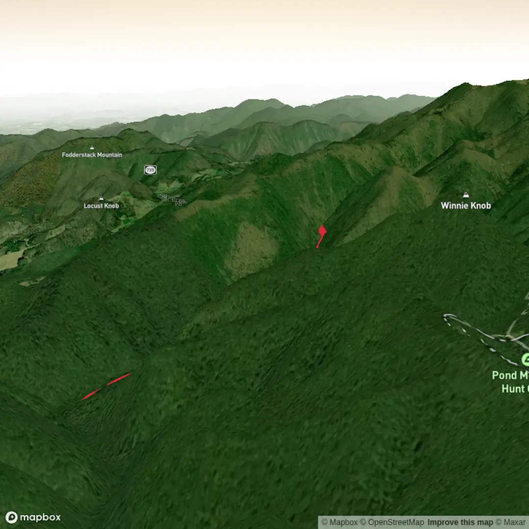
This is a short but engaging creek-and-waterfall hike in the far northeastern corner of Tennessee, in the Cherokee National Forest near Laurel Bloomery. Expect roughly 7 km / 4.3 miles round trip if you use the estimate provided, though official and local trail listings place it closer to about 7.4–8 km / 4.6–5.0 miles round trip, with the waterfall reached after about 3.7–4 km / 2.3–2.5 miles each way. The route is generally considered medium difficulty not because of steep climbing alone, but because of repeated creek crossings, wet footing, and a remote feel that can make progress slower than the mileage suggests. (fs.usda.gov)
The hike starts from the end of Gentry Creek Road near Laurel Bloomery, Tennessee, with the nearest clear landmark being the Laurel Bloomery Volunteer Fire Department / A-Z Market area where drivers leave Highway 91 and turn onto Gentry Creek Road. From there, the road narrows, becomes rougher, and eventually reaches a turnaround-style parking area at the end of the drivable section. Official Forest Service directions describe the approach from Mountain City via Highway 91 north to Laurel Bloomery, then right onto Gentry Creek Road, continuing past the end of pavement to the parking area. (fs.usda.gov)
For drivers, a high-clearance vehicle is helpful when the road is rough, especially after rain, although conditions can vary. Parking is limited and basic, and there are no restrooms or potable water at the trailhead, so arrive prepared. Public transport is effectively not available to the trailhead; the area is rural, and hikers should plan on coming by private vehicle or arranging a drop-off from Mountain City or nearby communities. (fs.usda.gov)
What the walk is like
The trail follows Gentry Creek upstream through a secluded forested corridor and is famous for its many stream crossings. The Forest Service states that the trail crosses Gentry Creek about 14 times, while local trail notes mention 13 crossings and several log bridges, so hikers should be ready for frequent wet rocks, slick logs, and the possibility of getting their feet wet. In dry weather these crossings can be straightforward; after rain or during spring runoff they can become the defining challenge of the hike. (fs.usda.gov)
Elevation gain is modest overall—about 200 m / 656 ft by your estimate, though some local listings suggest a somewhat smaller net climb. Either way, this is not a relentlessly uphill trail. The effort comes more from uneven footing, balancing at crossings, and maintaining attention through the creek corridor. The grade is manageable for hikers with some experience, but it is less suitable for anyone expecting a dry, smooth path. (johnsoncountytrails.org)
The setting is classic Southern Appalachian woodland: mixed hardwood forest, rhododendron, mossy rocks, and a cool stream environment that stays damp and shaded. In warmer months, expect lush green cover and humid conditions; in leaf-off seasons, the creek and surrounding slopes open up visually and make the waterfall approach feel more dramatic. (northeasttennessee.org)
Landmarks, scenery, and notable features
The main objective is Gentry Creek Falls, a double waterfall with a total drop of about 60 ft / 18 m in a remote forest setting. Local descriptions break this into two separate drops of roughly 30 ft / 9 m each. The falls sit in a narrow, enclosed-feeling section of the creek, and the final approach rewards the repeated crossings with one of the more secluded waterfall scenes in this part of the Cherokee National Forest. (fs.usda.gov)
One of the more interesting details about the route is that it follows an old railroad grade for part of the way. That helps explain the relatively gentle overall climbing and gives the trail a historical layer that is easy to miss if you are focused only on the creek crossings. A local historical note says that in the early 20th century a railroad trestle once extended to the top of the upper falls, though the trestle is no longer there. (secretfalls.com)
The broader area lies within the Rogers Ridge / Iron Mountain zone of the Cherokee National Forest, a landscape shaped by old transportation corridors, forest use, and Appalachian settlement patterns. That history shows up subtly in old grades, roadbeds, and the way some trails still follow practical mountain routes rather than modern recreational alignments.

Comments and Reviews
User comments, reviews and discussions about the Gentry Creek Falls Trail, Tennessee.
average rating out of 5
0 rating(s)