Download
3D Flyover
Add to list
More
9.9 km
~2 hrs 19 min
203 m
Out and Back
“Bluff-edge passages, stone-door crevices, and gorge vistas make this a richly textured, moderately demanding outing.”
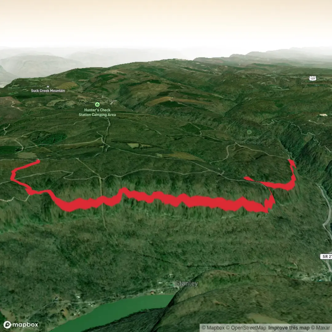
This out-and-back to Lawson Rock Overlook follows the Poplar Springs Section of the Cumberland Trail in Prentice Cooper State Forest, just west of Chattanooga, and makes a very solid medium-grade day hike. Expect roughly 10 km / 6.1 miles round trip with about 200 m / 656 ft of cumulative elevation gain, though the trail’s many short rises and dips can make it feel a little more strenuous than the numbers suggest. The route combines bluff-edge walking, rock steps, narrow passages through sandstone, seasonal streams, and one of the better Tennessee River Gorge viewpoints on this side of the plateau. (cumberlandtrail.org)
The usual starting point is the main Cumberland Trail parking area on Tower Drive in Prentice Cooper State Forest, the southern terminus for this section of trail. The trailhead coordinates published by the Cumberland Trail Conservancy are N35 07.966 W85 25.165, which places the start near the Prentice Cooper State Forest / Wildlife Management Area Cumberland Trail parking area off Tower Drive, west of Signal Mountain and northwest of downtown Chattanooga. If driving, the standard approach is via TN 27, also called Suck Creek Road, then turning into Prentice Cooper State Forest and following the signed forest roads to the main parking area. (cumberlandtrail.org)
Public transport to the trailhead is very limited to effectively nonexistent. Most hikers should plan on arriving by car or arranging a taxi or rideshare from Chattanooga, keeping in mind that pickup reliability can be poor in this area because of the forest setting and patchy signal. If using HiiKER for planning, it is worth checking the exact parking location and road approach in advance, as the forest road junctions can be easy to second-guess on a first visit. The nearest practical city base is Chattanooga. This access guidance is an inference based on the trailhead’s forest location and the published driving directions from TN 27. (cumberlandtrail.org)
What the trail is like
From the parking area, the trail crosses the road and begins descending almost immediately. Early on, the path shares tread with the Mullens Cove Loop before splitting, and within about 0.8 km / 0.5 miles you reach one of the route’s memorable features: a narrow “stone door” where rock steps have been built into a crevice in the bluff. This opening gives a good sense of the terrain for the rest of the hike—sandstone ledges, bluffline travel, and frequent footing changes between dirt, embedded rock, and constructed steps. (cumberlandtrail.org)
Beyond that first rocky passage, the trail skirts Indian Rock House, an archaeological site where artifacts have been found and which is described by the Cumberland Trail Conservancy as a shelter once used by Cherokee people, likely as a hunting camp. This adds an important cultural layer to the hike: the landscape is not only scenic but also part of a much older human story tied to travel, shelter, and hunting along the Cumberland Plateau escarpment. (cumberlandtrail.org)
At around 1.4 km / 0.9 miles, the route passes a large bluff with a two-story rockhouse high above, then gradually works toward the escarpment over the Tennessee River Gorge. Around 3.5 km / 2.2 miles one way, you begin to encounter some of the trail’s more rugged character—stacked rock formations, wet-weather drainages, and a rolling profile that repeatedly drops and climbs. None of these sections are especially technical in dry conditions, but they do demand attention underfoot. After rain, slick rock, muddy patches, and stream crossings can slow the pace considerably. (cumberlandtrail.org)
One of the key intermediate landmarks is Sulphur Branch Bridge at about 4.0 km / 2.5 miles one way. This is a good mental halfway marker on the approach to the overlook. The Conservancy notes wildflowers in this area and a seasonal waterfall nearby after rain, though reaching it may require off-trail scrambling, so most hikers will simply enjoy the creek corridor from the main route. After the bridge, the trail climbs rock steps and threads between large boulders before topping out near Lawson Rock. (cumberlandtrail.org)
Lawson Rock and the surrounding landscape
Lawson Rock Overlook sits about 5.3 km / 3.3 miles from the trailhead if continuing the full one-way section, but for the overlook itself the key destination is reached just beyond the boulder-and-steps section described above. From the overlook, you get a broad view over the Tennessee River Gorge and down toward TN 27 below. The Tennessee River Gorge is one of the defining natural landscapes around Chattanooga, and Lawson Rock is recognized as one of the notable overlooks into that protected viewshed. (cumberlandtrail.org

Surfaces
Ground
Unknown
Comments and Reviews
User comments, reviews and discussions about the Lawson Rock Overlook via Cumberland Trail Poplar Springs, Tennessee.
average rating out of 5
0 rating(s)