Download
3D Flyover
Add to list
More
7.5 km
~1 hrs 44 min
154 m
Out and Back
“A waterfall-led wander into a hushed, mossy gorge, with riversong, slick stones, and Appalachian history.”
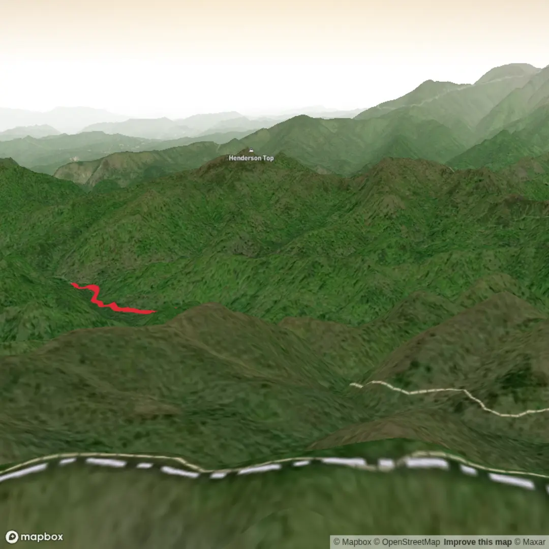
This medium-difficulty outing in the Bald River Gorge area of Cherokee National Forest packs a lot into roughly 7 km / 4.3 miles, with about 200 m / 656 ft of elevation gain. The route is best understood as an upstream hike from the Bald River Falls area into a narrower, quieter section of the gorge, where the sound of water stays with you for much of the day. The start is near Bald River Falls on River Road / Forest Road 210, Tellico Plains, Tennessee 37385, which is the clearest nearby landmark and the most practical navigation target for drivers. The Forest Service describes the hike as beginning from the parking area at Bald River Falls on Forest Road 210 and following Bald River through the gorge toward Forest Road 126 near Holly Flats Campground. (fs.usda.gov)
The opening stretch is the most dramatic. Bald River Falls is one of the most accessible major waterfalls in this part of east Tennessee, dropping beside the road before the trail continues into the forest. From there, the path follows an old railroad grade built during historic logging operations, which helps explain why some sections feel more gradual underfoot than you might expect in such a steep gorge. That old grade is one of the most interesting historical clues on the walk: long before the area was valued primarily for recreation and wilderness, it was part of a heavily used timber landscape in the southern Appalachians. (fs.usda.gov)
What the route feels like
Expect a trail that stays closely tied to the river corridor. Over about 7 km / 4.3 miles, the climbing is moderate rather than relentless, but it comes in enough short rises and uneven sections to justify the medium rating. The average grade is not severe, yet roots, wet rock, leaf cover, and streamside erosion can make footing more demanding than the elevation profile suggests. After rain, this becomes especially important because the gorge holds moisture and slick surfaces linger in shaded sections. The river is the constant landmark, and smaller cascades, boulder-strewn channels, and pockets of rhododendron and hardwood forest break up the walk. Nearby descriptions of the longer Bald River Trail note multiple smaller falls and attractive rock areas along the gorge, which matches what hikers should expect on a shorter upper section as well. (alltrails.com)
Because the trail follows a gorge, the scenery changes more through texture than through huge panoramic views. You are more likely to notice mossy rock, hemlock and mixed hardwood cover, shaded ravines, and the shifting character of the watercourse than broad overlooks. In warmer months, the forest can feel lush and enclosed; in leaf-off seasons, the river and surrounding slopes open up visually and make it easier to spot cascades through the trees. The setting is part of the protected Bald River Gorge Wilderness landscape, which helps preserve the area’s rugged, relatively undeveloped character. (fs.usda.gov)
Landmarks, nature, and wildlife
The standout landmark is Bald River Falls at the start, with Baby Falls located about 0.25 miles / 0.4 km upstream by road, where additional parking and toilets may be available. That makes the corridor useful for hikers who want a short warm-up walk, a scenic stop, or a backup turnaround point if weather turns poor. (thesmokymountains.com)
Beyond the falls, the river itself becomes the main attraction. Look for plunge pools, polished rock, side cascades after wet weather, and dense streamside vegetation. This part of the Cherokee National Forest supports the usual southern Appalachian mix of wildlife, so hikers should stay alert for white-tailed deer, wild turkey, salamanders in damp areas, and black bears, which are present in the broader forest ecosystem. Snakes are also possible in warm weather, especially around sunny rock and trail edges, so watching foot placement matters. The biggest day-to-day hazard, though, is usually not wildlife but slick terrain near water and the temptation to step onto wet rock for a better view. The river can rise quickly after storms, and even shallow crossings or edge scrambling can become risky. The gorge setting also means cell coverage may be inconsistent, so offline mapping in HiiKER is worth setting up before arrival.
Planning and access
By car, the usual approach is from Tellico Plains, Tennessee. From town, take TN-165 / Cherohala Skyway east and turn onto Forest Road 210 / River Road / Tellico River Road toward Bald River Falls. Travel sources place Bald River Falls roughly several miles east of Tellico Plains along this scenic corridor, and the falls area is the standard landmark for parking and trail access. (theridrs.com)
Public transport is very limited. Tellico Plains does not have the kind of frequent regional transit service that hikers can rely on for a straightforward trailhead drop-off, so in practical terms most visitors will need a private car, rideshare arranged

Surfaces
Unknown
Gravel
Comments and Reviews
User comments, reviews and discussions about the Upper Bald River Falls, Tennessee.
average rating out of 5
0 rating(s)