Download
3D Flyover
Add to list
More
5.6 km
~1 hrs 25 min
190 m
Loop
“A splashy forest loop pairs tumbling falls and shaded creek music with a punchy ridge climb.”
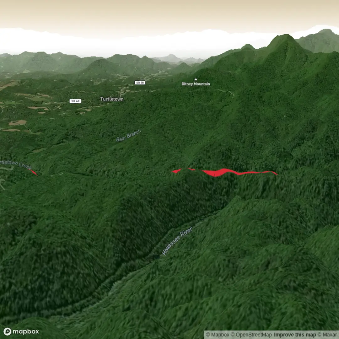
This medium-rated loop in the Cherokee National Forest packs a lot into a relatively short outing: roughly 3.5 to 3.8 miles / 5.6 to 6.1 km, with about 560 feet / 170 metres of climbing, depending on exactly how you track the loop and any short side trips to the waterfall viewpoints. The route follows Turtletown Creek for much of the hike, then climbs back along Shinbone Ridge, creating a satisfying circuit with constant water sounds, shaded forest, and several overlooks of Upper and Lower Turtletown Falls. The waterfalls are the main draw here, with the upper drop around 30 feet / 9 metres and the lower around 40 feet / 12 metres. (southeasttennessee.com)
The hike begins near the end of Forest Service Road 1166 at the Turtletown Creek Trail #185 trailhead in Polk County, Tennessee, close to Turtletown and Farner. A useful landmark for planning is the signed trailhead parking area at the dead-end of FS Road 1166, reached from TN-68 via Farner Road; the mapped trailhead is near 35.1639, -84.35276, which corresponds to the Turtletown/Farner area in the southern Cherokee National Forest near the Tennessee–North Carolina line. (southeasttennessee.com)
Expect a classic creek-and-ridge loop rather than a single out-and-back to one waterfall. The lower sections are usually the gentlest, with the path tracking the creek through mixed hardwood forest, crossing damp ground in places and passing cascades, boulders, and rhododendron-lined stretches. The footing can be uneven with roots, rocks, and slick patches, especially after rain. Because this is a waterfall hike, wet leaves, muddy tread, and spray-darkened rock are some of the biggest hazards, particularly around overlooks and any informal scramble spots near the falls. (southeasttennessee.com)
What the route feels like
Many hikers prefer to take the loop clockwise so the creek and waterfall sections come earlier, saving the ridge return for later, though the route works in either direction. Within the first mile or so, the trail settles into the drainage and begins delivering the best scenery: rushing water, small cascades, and the first major views toward the falls. The waterfall overlooks are dramatic but require care, as the terrain around them can be steep and exposed in places. Distances are short between highlights, so this is a good option for hikers who want frequent rewards without committing to a full-day mountain route. (southeasttennessee.com)
The climb back via Shinbone Ridge is where the “medium” rating makes the most sense. It is not especially long, but it is enough of a sustained ascent to raise the effort level, particularly in humid weather. Over the full loop, the elevation gain is modest by mountain standards, yet the combination of short steep pitches, rough tread, and creekside moisture can make it feel more demanding than the raw numbers suggest. (southeasttennessee.com)
Landmarks, nature, and wildlife
The standout landmarks are Lower Turtletown Falls and Upper Turtletown Falls, viewed from overlooks along the loop. The creek itself is a major feature of the hike, and in higher-flow periods it adds a lot of energy and sound to the walk. There are also scenic views toward the Hiwassee River corridor from parts of the route, which help open up what is otherwise a mostly enclosed forest hike. (southeasttennessee.com)
The surrounding Cherokee National Forest supports a rich Southern Appalachian mix of hardwoods, hemlock pockets, mossy streambanks, ferns, and spring and summer wildflowers. Wildlife in this part of the forest can include white-tailed deer, black bears, smaller mammals, and reptiles such as timber rattlesnakes and copperheads, though sightings vary and most animals avoid busy trails. Around the creek, hikers should also watch for salamanders, songbirds, butterflies, and other moisture-loving species typical of shaded ravines. (en.wikipedia.org)
Because the trail stays close to water for part of the route, insects can be active in warm months, and the area can feel noticeably cooler and damper than nearby roads. In autumn, leaf cover can hide roots and rocks; in winter, shaded sections may stay slick longer than expected; and after heavy rain, creekside sections deserve extra caution. Checking the route in H

Comments and Reviews
User comments, reviews and discussions about the Turtletown Falls Loop, Tennessee.
average rating out of 5
0 rating(s)