Download
3D Flyover
Add to list
More
6.0 km
~1 hrs 20 min
90 m
Out and Back
“A peaceful woodland ramble leads to Beaver Falls, where quiet ravines and running water steal the show.”
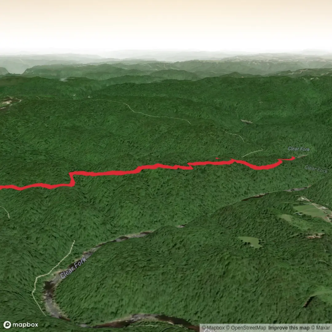
This is a short, easy out-and-back to a quiet waterfall in the southern Big South Fork area, best thought of as a gentle woodland walk with one worthwhile destination rather than a summit-style effort. At roughly 6 km / 3.7 miles with about 100 m / 330 ft of elevation gain, it suits hikers who want a half-day outing with light climbing, a good chance of solitude, and a taste of the Cumberland Plateau’s forested ravines and stream corridors. The route follows part of the Sheltowee Trace system in Big South Fork National River and Recreation Area, where the broader trail network is marked with trail symbols and color-coded blazes. (sheltoweetrace.com)
The walk is generally straightforward at the start, using old roadbeds and broad forest track, then becomes more scenic as it drops toward a creek bottom near the falls. One of the better descriptions of this corridor notes that the first half trends along abandoned oil-well and logging roads before descending to a stream area about 2.5 miles in, with Beaver Falls just downstream from there. (discoverscott.com)
What the hike is like
Expect an easy opening through open hardwood forest with a mostly forgiving grade. Because the total elevation gain is only around 100 m / 330 ft, the climbing is not especially demanding, but there are a few rolling rises and dips as the trail crosses shallow drainages and works along the plateau edge. The footing is usually much simpler than the more rugged gorge trails elsewhere in Big South Fork, though leaves, roots, and damp patches can still make sections slick after rain. (discoverscott.com)
As you continue, the route becomes more interesting than the first kilometres suggest. The trail eventually leaves the old road corridor and drops into a creek-bottom setting, where the soundscape shifts from dry forest quiet to running water when conditions are wet. This lower section is where the waterfall visit feels most rewarding, with flatter rocks and streamside terrain that make a natural pause point. In drier periods, water flow may be reduced, so the falls can be more delicate than dramatic. (discoverscott.com)
If you continue beyond the falls area on the longer connector, the trail climbs back onto the plateau and passes small drainages with occasional views through the trees toward the Clear Fork valley and Grassy Knob. For hikers doing only the shorter Beaver Falls outing, the main visual highlights are the forest, creek corridor, and waterfall itself rather than broad overlooks. (discoverscott.com)
Landmarks, nature, and wildlife
The most significant landmark is Beaver Falls itself, tucked into a stream corridor below the plateau. The surrounding landscape is classic Big South Fork terrain: sandstone uplands, narrow ravines, wooded slopes, and water-shaped hollows. The park sits within the Cumberland Plateau, where horizontally bedded sandstone, shale, limestone, and coal-bearing formations have weathered into cliffs, rock shelters, arches, and steep-sided gorges. Even on a modest hike like this one, that geology explains the sheltered creek bottoms, broken rock, and abrupt little drops in terrain you encounter near the falls. (nps.gov)
In spring and early summer, expect a greener, softer feel with wildflowers, fresh leaf-out, and more reliable water flow. One local description specifically highlights blooming dogwoods along this trail in early spring. Summer brings thicker vegetation, humidity, and insects. Autumn usually offers the best combination of visibility, color, and comfortable temperatures. Winter can be quiet and beautiful, but wet leaves, cold creek edges, and freeze-thaw conditions can make footing less predictable. (discoverscott.com)
Wildlife is typical of the Big South Fork backcountry: songbirds, wild turkey, white-tailed deer, and smaller woodland mammals are all plausible sightings, especially in quieter hours. Snakes are also part of the region’s ecology, so it is wise to watch where you place hands and feet around rocks, logs, and sunny trail edges in warm weather. The trail’s quieter character means hikers often notice animal movement and

Surfaces
Dirt
Unknown
Ground
Comments and Reviews
User comments, reviews and discussions about the Beaver Falls via Sheltowee Trace, Tennessee.
average rating out of 5
0 rating(s)