Download
3D Flyover
Add to list
More
6.8 km
~1 hrs 30 min
88 m
Out and Back
“Quiet woods, weathered farm traces, and a waterfall finale give this Big South Fork walk soul.”
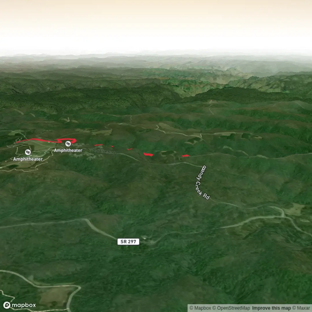
This easy walk in Big South Fork National River and Recreation Area combines quiet forest walking, a historic farm landscape, and a waterfall finish, all on a route of about 7 km / 4.3 miles with roughly 100 m / 330 ft of elevation gain. The terrain is generally gentle by plateau standards, and most hikers will find it approachable, but it still helps to expect a few uneven sections, old roadbeds, roots, and potentially muddy patches after rain. The route is closely associated with the John Litton Farm Loop, which the National Park Service describes as a 6.3-mile loop from the Bandy Creek trailhead, using part of Duncan Hollow Road and Litton Farm Road; your shorter Fall Branch Falls variation is essentially a more focused outing built around that same historic corridor and waterfall area. (nps.gov)
The most practical starting point is the Bandy Creek area in Big South Fork, near Bandy Creek Visitor Center, 4564 Leatherwood Road, Oneida, Tennessee 37841, and the nearby Bandy Creek Trailhead by the campground/swimming pool area. Bandy Creek Campground sits off Highway 297, about 15 miles west of Oneida and 24 miles east of Jamestown, which makes it the clearest landmark for drivers heading to the hike. (home.nps.gov)
By car, most hikers approach via TN-297 and follow signs for Bandy Creek Campground / Visitor Center. Parking is usually tied to the campground and trailhead area, so it is worth checking current park alerts before leaving. By public transport, options are very limited: Big South Fork is not served by robust trailhead transit, so most visitors will need a private vehicle or a drop-off arranged from Oneida or Jamestown. The visitor center is the best nearby staffed landmark if you want to confirm access, trail conditions, or parking logistics before setting out. (home.nps.gov)
What the route feels like
The opening section is typically the easiest: broad tread, a gradual start, and a sense that you are moving through the upper Cumberland Plateau rather than climbing into a steep mountain gorge. With only around 100 m / 330 ft of ascent spread across the outing, the elevation change tends to feel mild, though short rises and dips can still surprise anyone expecting a completely flat walk.
As the route develops, the character shifts from campground-adjacent access paths and old road traces into a more atmospheric woodland setting. This part of Big South Fork is known for mixed hardwood forest, shallow drainages, sandstone features, and the kind of sheltered hollows that stay cooler and damper than the open plateau above. In leaf-on season, the forest can feel enclosed and green; in late fall and winter, the terrain opens up visually and the old farm landscape becomes easier to read.
The waterfall section is the highlight. Fall Branch itself is a smaller stream corridor compared with the major river gorges in the park, but that is part of the appeal: the approach feels intimate, with water, rock, and forest packed into a compact area. After rain, the falls and smaller cascades are more impressive, while in drier periods the stream may be quieter and the hike becomes more about the woods, rock formations, and historic setting than sheer water volume.
Landmarks, nature, and what to watch for
One of the most important landmarks on this hike is the John Litton farmstead area, a preserved cultural landscape on the North Fork of Fall Branch in Scott County. The National Park Service identifies it as a 184-acre historic farmstead, with significance beginning around 1900, when John Litton built a log house, log barn, and outbuilding there. Surviving features in the landscape include fields, fence lines, road traces, pawpaw shrubs, a human-made dam and pond, and other remnants of rural life. (nps.gov)
That history gives the walk more depth than a simple waterfall outing. This was a subsistence farming landscape shaped by the rugged Upper Cumberland terrain, where families relied not only on agriculture but also on hunting, fishing, lumbering, beekeeping, and other seasonal work. The farmstead is considered representative of settlement patterns in the Big South Fork region and is part of the proposed Big South Fork Rural Historic District. (nps.gov)
Natural highlights along the way can include: - mature hardwood forest, especially attractive in spring leaf-out and autumn color, - creekside

Surfaces
Ground
Unknown
Asphalt
Comments and Reviews
User comments, reviews and discussions about the Fall Branch Falls via John Litton Farm Hike, Tennessee.
average rating out of 5
0 rating(s)