Download
3D Flyover
Add to list
More
565 m
~6 min
0 m
Out and Back
“A brief, mossy wander leads to a cool, shaded cascade where slick rocks demand care.”
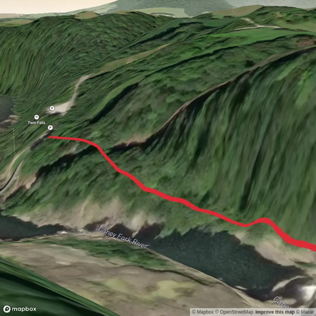
This is a very short, easy waterfall walk of about 1 km / 0.6 miles round trip with almost no elevation gain—the kind of outing that suits families, casual walkers, and anyone looking for a quick scenic stop rather than a full-day hike. Because the trail details provided are incomplete, the exact trailhead location for Ice Hole Falls is not clear enough to reliably convert to a nearest address or landmark. If you share the coordinates or a nearby town, road, park, or map pin, I can turn that into a precise trailhead description and directions.
What to expect is a brief approach on generally gentle terrain, likely following a creek or drainage toward the falls. On a hike this short and easy, the main appeal is usually the destination itself: a shaded waterfall setting, damp rock, mossy banks, and cooler air near the water. Even when the walking is straightforward, the area around a waterfall often becomes the most hazardous part of the outing. Wet stone, exposed roots, slick mud, and algae-covered rock can make the final few metres feel much more technical than the trail rating suggests.
Terrain and trail character
With 0 metres / 0 feet of climbing listed, hikers should expect a mostly flat route, possibly on packed dirt, gravel, or a short footpath through forest. A 1 km outing often means you reach the falls quickly, so there is less physical challenge and more emphasis on footing, seasonal conditions, and crowd awareness near viewpoints. If the path narrows near the water, give extra care around undercut banks, spray-soaked rock, and informal side paths leading closer to the cascade.
If this is a typical waterfall access trail, sturdy walking shoes are usually enough in dry weather, but after rain the route can become muddy and slippery. In colder months, even an easy trail can change character completely if ice forms near the falls. Thin ice, frozen mud, and snow-covered roots are common trouble spots on short waterfall walks because people tend to let their guard down on easier routes.
Landmarks, scenery, and wildlife
The standout landmark is the waterfall itself, and on a short hike like this the visual payoff comes quickly. Expect a cool, humid microclimate around the falls, with lush vegetation if the route is wooded. Ferns, mosses, lichens, and moisture-loving plants are common around cascades and shaded ravines. If the stream has carved a narrow channel or plunge pool, the area may feel more enclosed and dramatic than the hike length suggests.
Wildlife on easy creekside trails is often subtle rather than spectacular. Listen for songbirds in the canopy, watch for salamanders or frogs in damp areas, and keep an eye out for butterflies and dragonflies in warmer months. In forested regions, deer, squirrels, chipmunks, and a variety of small birds are common. As always, avoid feeding wildlife and check clothing for ticks after the walk if the area has brushy edges or tall grass.
Planning and navigation
Because the trailhead information is incomplete, it is best to confirm parking, access, and route status before setting out. For navigation, use HiiKER to verify the trail line, nearby roads, and any junctions or access notes. On short hikes, navigation is usually simple, but waterfall trails sometimes have unofficial spurs or social paths that can lead to unsafe cliff edges or unstable streambanks.
Bring water even for a short outing, especially in warm weather, and consider a light rain shell if the falls create heavy spray. A phone, basic first aid supplies, and shoes with decent grip are usually all that is needed for a hike of this length, though trekking poles can help if the approach is muddy or icy.
Access and getting there
For travel by car, short waterfall hikes are often reached from a roadside pullout, small parking area, park access road, or recreation site lot. Public transport is less common for trailheads of this type unless the falls are inside or near a town park, major tourist area, or regional transit corridor. Without a confirmed location, I can’t responsibly give exact driving or transit directions. If you send the coordinates or nearest town, I can convert them to the nearest known address or landmark and provide practical directions for both car access and public transport options.
Historical significance of the region
The historical context depends entirely on which Ice Hole Falls you mean, since waterfall sites with similar names can sit in very different landscapes—mountain parks, forest preserves, former logging country, or areas with Indigenous cultural history and later settlement routes. In many waterfall regions, the broader landscape may have histories tied to Indigenous stewardship, timber extraction, rail corridors, mining, or early tourism development. If you provide the exact location, I can add a region-specific historical background that is accurate and useful rather than generic.

Comments and Reviews
User comments, reviews and discussions about the Ice Hole Falls, Tennessee.
average rating out of 5
0 rating(s)