Download
3D Flyover
Add to list
More
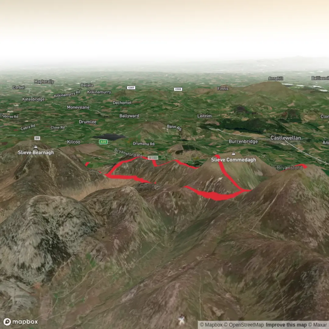
Trail length
14.4 km
Time
~7 hrs
Elevation Gain
880 m
Hike Type
Loop
Created by
Jason Black Mountaineering

Surfaces
Unknown
Gravel
Unpaved
Ground
Dirt
Comments and Reviews
User comments, reviews and discussions about the Mournes - standard - 2026, Northern Ireland.
average rating out of 5
0 rating(s)