Download
Preview
Add to list
More
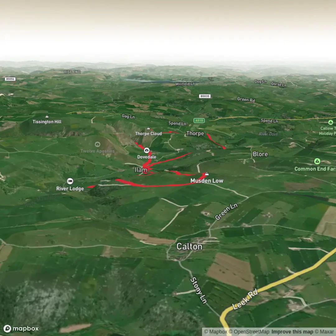
13.8 km
~3 hrs 27 min
417 m
Loop
Explore the captivating beauty of the United Kingdom by venturing on the "Peak District National Park - May 5" hike. This medium-difficulty trek, with a duration of approximately 209 minutes, invites you to traverse a distance of 13.77 km. You'll test your endurance with an elevation gain of 442 m and a descent of 470 m, promising both exciting climbs and thrilling descents on this single-day adventure. Commencing and concluding at the scenic Dove Dale in Ashbourne, England, you'll immerse yourself in the quintessential English countryside. Very fulfilling and perfectly achievable, this trek truly encapsulates the allure of the Peak District National Park. Come and experience its charm for yourself!


Surfaces
Unknown
Gravel
Asphalt
Dirt
Compacted Gravel
Grass
Unpaved
Cobblestone
Comments and Reviews
User comments, reviews and discussions about the Thorpe cloud & Musden Low, England.
5.0
average rating out of 5
1 rating(s)