Download
3D Flyover
Add to list
More
172.4 km
~8 days
5136 m
Multi-Day
“Embark on the Uinta Highline Trail for a breathtaking and remote wilderness journey through Utah's majestic mountain tapestry.”
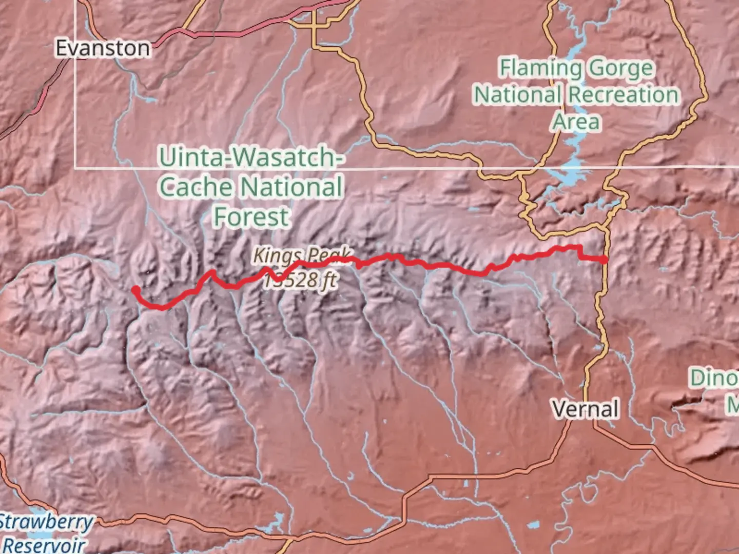
Spanning approximately 107 miles (172 kilometers) and with an elevation gain of around 16,700 feet (5,100 meters), the Uinta Highline Trail traverses the heart of the Uinta Mountains in Utah. This point-to-point trail is a true backcountry experience, offering hikers a chance to immerse themselves in the rugged beauty of the High Uintas Wilderness.
Getting to the Trailhead
The western terminus of the Uinta Highline Trail is near Hayden Pass, close to the border of Daggett County, Utah. For those driving, the trailhead is accessible via Highway 191 near Vernal. If you're relying on public transport, the nearest significant town with bus services is Vernal, from which you can arrange a shuttle or taxi service to the trailhead.
Trail Overview
The trail is estimated to be of medium difficulty, but don't let that rating fool you. The Uinta Highline Trail demands a good level of fitness and backcountry navigation skills. Hikers should be prepared for remote and rugged terrain, with significant elevation changes and potentially challenging weather conditions.
Navigating the Trail
Hikers can use the HiiKER app to navigate the trail, ensuring they stay on the correct path and can plan their stops accordingly. The app provides detailed maps and waypoints, which are essential for a trail of this length and remoteness.
Landmarks and Scenery
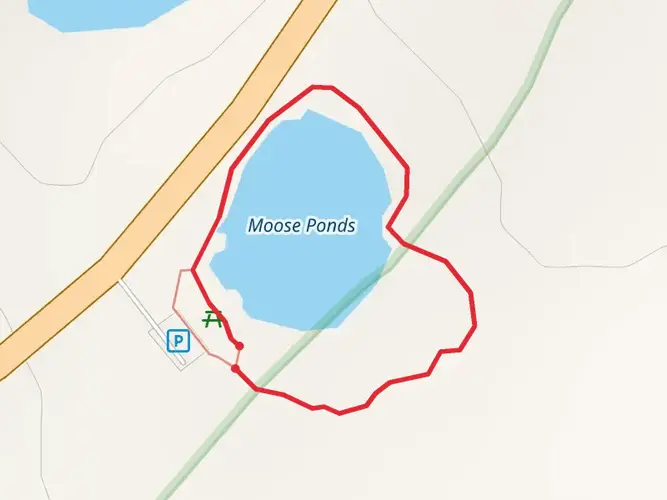
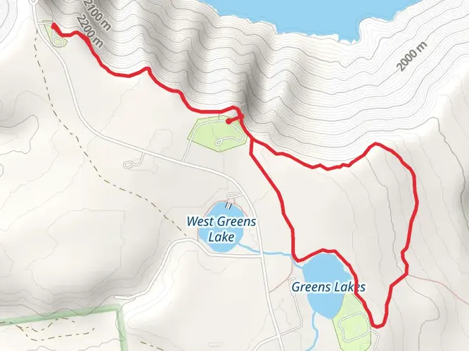
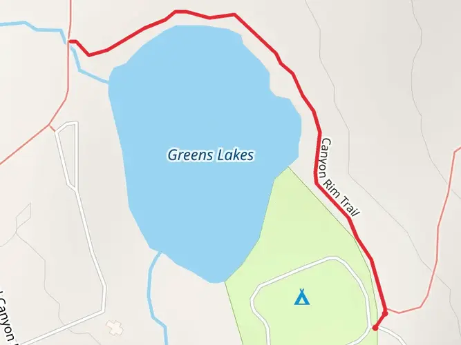
As you embark on your journey, you'll be greeted by a landscape of high alpine forests, meadows bursting with wildflowers, and over 1,000 natural lakes. The trail crosses eight mountain passes, offering breathtaking vistas of the Uinta Range, which is one of the few ranges in North America that runs east to west.
One of the most significant landmarks you'll encounter is Kings Peak, which is the highest point in Utah at 13,528 feet (4,123 meters). While the trail doesn't summit Kings Peak, a popular side trip is the ascent to its peak for those looking to add a challenging detour to their hike.
Wildlife and Nature
The Uinta Mountains are home to an abundance of wildlife, including elk, moose, mountain goats, and black bears. Birdwatchers will also be delighted by the variety of species that can be spotted along the trail. It's important to be bear-aware, practicing safe food storage and disposal to protect both yourself and the wildlife.
Historical Significance
The region is rich in history, with the Uinta Mountains being a traditional hunting and fishing ground for the Ute Tribe. The name "Uinta" comes from the Ute word meaning "pine tree" or "pine forest." As you hike, you're traversing paths that have been used for centuries by indigenous peoples, fur trappers, and explorers.
Preparation and Planning
Due to the trail's length and remote nature, hikers should be well-prepared with supplies and gear. Water sources are plentiful, but purification is necessary. Weather can be unpredictable, so pack for all conditions, and be prepared for cold nights, even in summer.
The best time to hike the Uinta Highline Trail is from July to September when the snow has mostly melted, and the weather is more stable. However, snowfields may persist at higher elevations, and hikers should be prepared for snow travel and navigation.
Conclusion
The Uinta Highline Trail is a challenging and rewarding experience for those who are prepared. With its stunning landscapes, diverse wildlife, and rich history, it offers an unforgettable adventure through one of Utah's most beautiful mountain ranges.

Frequently asked questions
How long is the Uinta Highline Trail and how many days does the Uinta Highline Trail take?
The Uinta Highline Trail is 172.44 km, or about 107 miles, with 5,136 m of climbing. Most backpackers split a route of that length into roughly 7 to 10 days, but the exact schedule depends on pace, weather, resupply planning, and how well the body handles long stretches above 10,000 feet.
Where are the start and end trailheads for the Uinta Highline Trail in Utah?
The classic Uinta Highline Trail is a point-to-point traverse across the High Uintas, commonly started at the Highline Trailhead on Mirror Lake Highway near Hayden Pass and finished near Highway 191 on the east side. A shorter variation is often done from or to Chepeta Lake on the eastern side instead of the full end-to-end crossing.
How hard is the Uinta Highline Trail and is the Uinta Highline Trail suitable for intermediate backpackers?
The Uinta Highline Trail is rated medium, but that still means a serious multi-day backcountry route. At 172.44 km with 5,136 m of elevation gain, long daily mileage, repeated rocky passes, remote sections, and sustained high elevation make it better suited to hikers with solid backpacking fitness and navigation skills.
What is the best time of year to hike the Uinta Highline Trail?
The usual hiking season for the Uinta Highline Trail is late summer into early fall, when the high passes are more likely to be free of lingering snow. Much of the route sits between about 8,200 and 12,700 feet, and most of it is above 10,000 feet, so early season snowfields, cold nights, and hazardous stream crossings are common concerns.
Are dogs allowed on the Uinta Highline Trail?
Dogs are generally allowed on the Uinta Highline Trail because it travels through the High Uintas Wilderness, where foot and stock travel are permitted. Hikers still need to follow wilderness rules, keep camps well away from lakes, and be aware that long mileage, cold water, rocky tread, and wildlife can make this a demanding route for dogs.
Is the Uinta Highline Trail in a wilderness area and are there special rules on the Uinta Highline Trail?
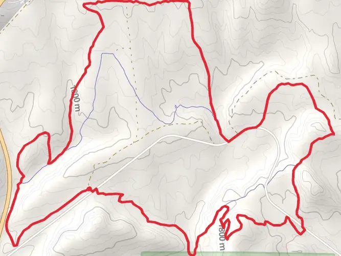
Yes. The Uinta Highline Trail runs through the High Uintas Wilderness, so wilderness regulations apply along the route. Group size is limited to 14 people, mountain bikes are not permitted, and there are extra camping and fire restrictions in places such as Naturalist Basin, where campfires are prohibited and gas stoves are required.
Can you do the Uinta Highline Trail as a shuttle hike from Vernal or Kamas?
Yes. Because the Uinta Highline Trail is usually done point to point, many hikers arrange a vehicle shuttle or private ride between the west side near Mirror Lake Highway and the east side near Highway 191. Vernal is one of the nearest larger towns on the east side, while Kamas is the main gateway on the west side.
Comments and Reviews
User comments, reviews and discussions about the Uinta Highline Trail, Utah.
4.43
average rating out of 5
7 rating(s)