Download
3D Flyover
Add to list
More
17.1 km
~4 hrs 5 min
403 m
Out and Back
“Embark on a scenic, moderately challenging 17-kilometer hike through Utah's Uinta Mountains to Queant Lake.”
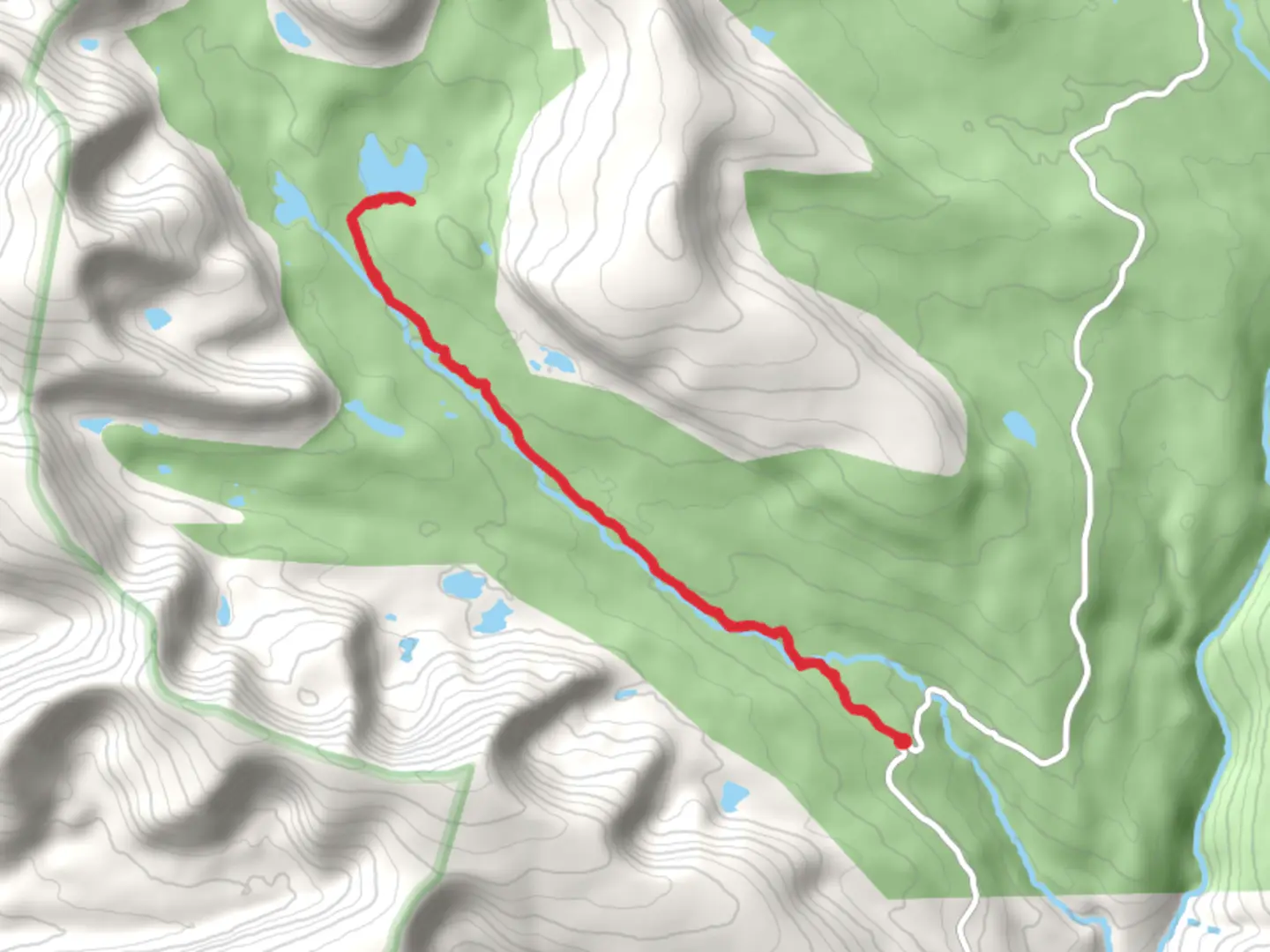
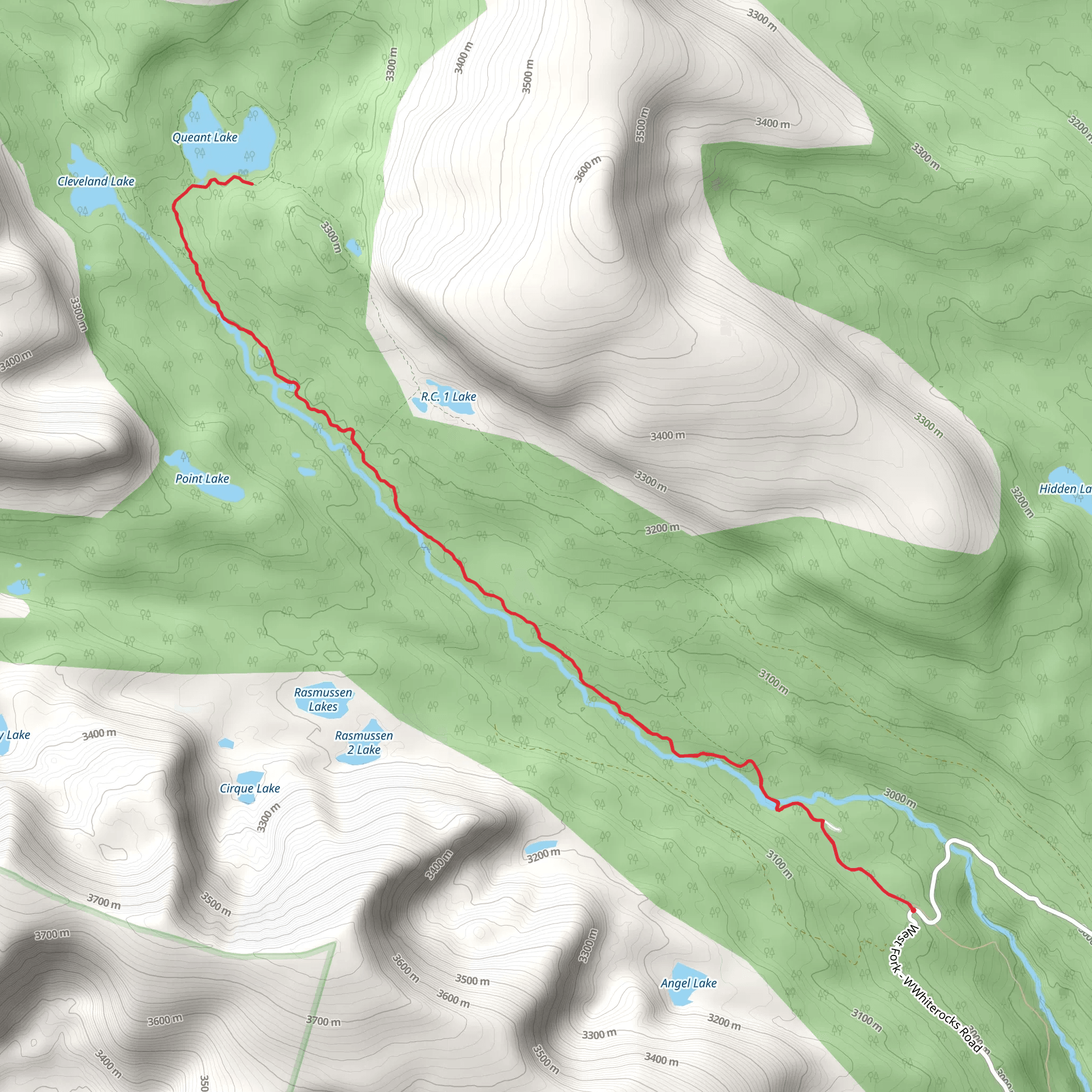
Starting your adventure near Duchesne County, Utah, the Queant Lake via West Fork Whiterocks Trail offers a captivating journey through the Uinta Mountains. This out-and-back trail spans approximately 17 kilometers (10.5 miles) with an elevation gain of around 400 meters (1,312 feet), making it a moderately challenging hike suitable for those with some experience.
Getting There
To reach the trailhead, you can drive or use public transport. If driving, head towards the West Fork Whiterocks Trailhead, located near the Whiterocks River Campground. The nearest significant landmark is the town of Whiterocks, Utah. From Whiterocks, follow the signs to the campground, where you can park your vehicle. Public transport options are limited, so driving is the most convenient way to access the trailhead.
Trail Overview
The trail begins at the West Fork Whiterocks Trailhead, situated at an elevation of approximately 2,438 meters (8,000 feet). The initial section of the trail meanders through dense forests of pine and aspen, providing ample shade and a serene atmosphere. As you progress, you'll encounter a series of gentle inclines and declines, making the elevation gain feel gradual and manageable.
Significant Landmarks and Nature
Around 3 kilometers (1.9 miles) into the hike, you'll come across a picturesque meadow, often dotted with wildflowers in the spring and summer months. This is an excellent spot for a short break and some photography. Continuing on, the trail follows the West Fork of the Whiterocks River, offering stunning views of the river and occasional glimpses of local wildlife such as deer, elk, and various bird species.
Midway Point: Scenic Overlook
Approximately 8 kilometers (5 miles) from the trailhead, you'll reach a scenic overlook that provides panoramic views of the surrounding Uinta Mountains. This is a great place to pause and take in the breathtaking landscape. The elevation here is about 2,743 meters (9,000 feet), so be prepared for cooler temperatures and potentially windy conditions.
Historical Significance
The Uinta Mountains are rich in history, with evidence of Native American habitation dating back thousands of years. The area was also explored by early trappers and settlers in the 19th century. As you hike, you'll be walking through a region that has been a crossroads of cultures and histories, adding an extra layer of depth to your journey.
Final Stretch to Queant Lake
The final 1.5 kilometers (0.9 miles) to Queant Lake involve a steeper ascent, bringing you to an elevation of approximately 2,835 meters (9,300 feet). The effort is well worth it, as Queant Lake is a pristine alpine lake surrounded by rugged peaks and lush greenery. This is an ideal spot for a picnic, some fishing, or simply relaxing by the water.
Navigation and Safety
Given the moderate difficulty of the trail, it's advisable to use a reliable navigation tool like HiiKER to ensure you stay on course. The trail is well-marked, but having a digital map can provide extra peace of mind. Always carry sufficient water, snacks, and layers of clothing to adapt to changing weather conditions.
Wildlife and Flora
Keep an eye out for the diverse flora and fauna that inhabit the area. The trail is home to various species of wildflowers, especially in the spring and summer. Wildlife sightings can include deer, elk, and occasionally black bears, so it's essential to stay alert and practice safe wildlife viewing habits.
This trail offers a blend of natural beauty, historical significance, and moderate physical challenge, making it a rewarding experience for those who undertake it.
What to expect?
Activity types
Comments and Reviews
User comments, reviews and discussions about the Queant Lake via West Fork Whiterocks Trail, Utah.
4.6
average rating out of 5
15 rating(s)
