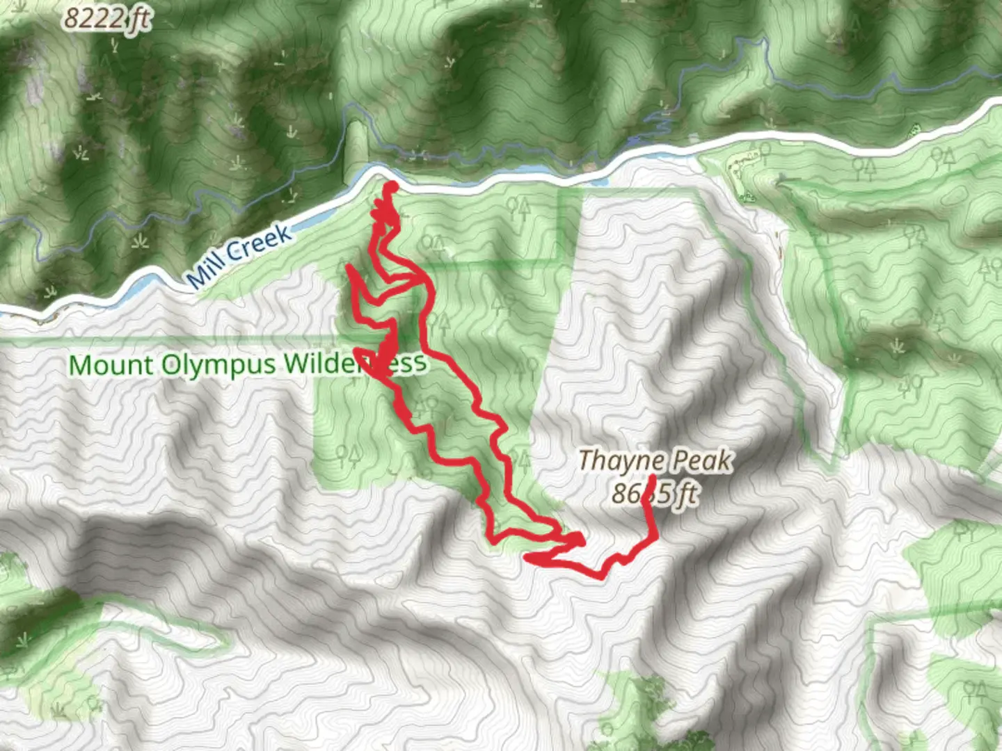
Thayne Peak via Desolation Trail and Thayne Canyon Trail
Download
3D Flyover
Add to list
More
12.9 km
~4 hrs 21 min
1061 m
Loop
“Explore the Wasatch Mountains with the rewarding Thayne Peak loop, featuring lush landscapes and historic trails.”
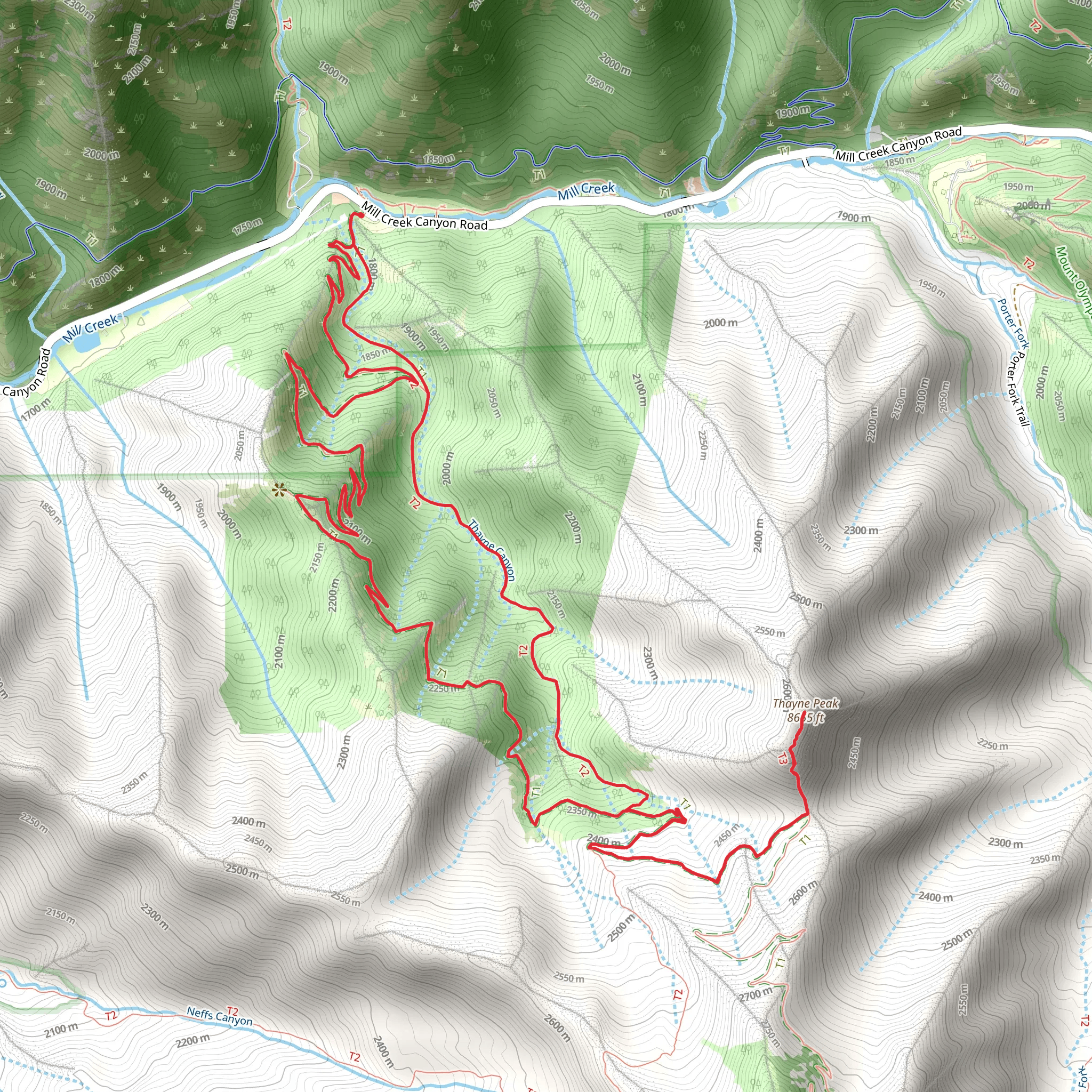
Starting your adventure near Salt Lake County, Utah, the Thayne Peak via Desolation Trail and Thayne Canyon Trail offers a rewarding loop hike of approximately 13 km (8 miles) with an elevation gain of around 1000 meters (3280 feet). This medium-difficulty trail is perfect for those looking to experience the beauty of the Wasatch Mountains.
Getting There
To reach the trailhead, you can drive or use public transportation. If driving, head towards Millcreek Canyon Road, which is easily accessible from Salt Lake City. The nearest significant landmark is the Millcreek Inn, located at 5802 Millcreek Canyon Rd, Salt Lake City, UT 84109. Parking is available near the trailhead, but be aware that there is a fee to enter Millcreek Canyon. For those using public transport, take a bus to the Millcreek area and then a short taxi or rideshare to the trailhead.
Trail Overview
The trail begins with a gentle ascent through Thayne Canyon, where you'll be surrounded by lush vegetation and the soothing sounds of Thayne Creek. Early in the hike, you'll encounter a mix of deciduous and coniferous trees, providing ample shade and a cool environment, especially in the summer months.
Key Landmarks and Sections
Desolation Trail Junction
At approximately 2 km (1.2 miles) into the hike, you'll reach the junction with the Desolation Trail. Here, the trail becomes steeper and more rugged, so be prepared for a more strenuous climb. This section offers stunning views of the surrounding canyon and the Salt Lake Valley below.
Wildlife and Flora
As you ascend, keep an eye out for local wildlife such as mule deer, elk, and various bird species. The flora changes with elevation, transitioning from dense forest to more open meadows filled with wildflowers in the spring and summer.
Historical Significance
The Desolation Trail has historical significance as it was used by early settlers and miners in the 19th century. Remnants of old mining operations can still be seen along the trail, adding a touch of history to your hike.
Reaching Thayne Peak
The final push to Thayne Peak is challenging but rewarding. At around 6.5 km (4 miles) from the start, you'll reach the summit, where panoramic views of the Wasatch Range and the Great Salt Lake await. This is an excellent spot for a break and some photos.
Descent and Return
The descent follows the loop back down through the Desolation Trail, reconnecting with Thayne Canyon Trail. This section is less steep but requires careful footing, especially if the trail is wet or icy. The return journey offers a different perspective of the landscape, making the loop hike a diverse and enriching experience.
Navigation and Safety
For navigation, it's highly recommended to use the HiiKER app, which provides detailed maps and real-time updates. Ensure you have adequate water, snacks, and weather-appropriate clothing. The trail can be slippery in wet conditions, so good hiking boots are essential.
This hike is a fantastic way to explore the natural beauty and historical richness of the Wasatch Mountains, offering a mix of challenging terrain and breathtaking views.
What to expect?
Activity types
Comments and Reviews
User comments, reviews and discussions about the Thayne Peak via Desolation Trail and Thayne Canyon Trail, Utah.
4.54
average rating out of 5
24 rating(s)
